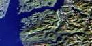
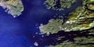
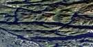
Seymour Inlet Satellite Image Map
Download Free Aerial Photo 092M02 at 1:50,000 scale
Seymour Inlet Satellite Imagery
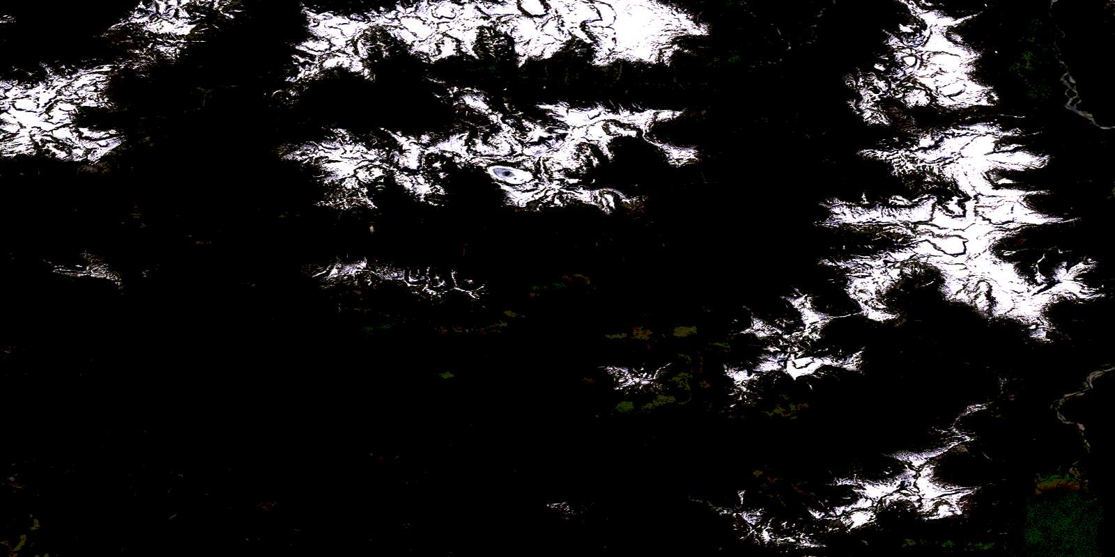
To view this satellite map, mouse over the air photo on the right.
You can also download this satellite image map for free:
092M02 Seymour Inlet high-resolution satellite image map.
Maps for the Seymour Inlet aerial map sheet 092M02 at 1:50,000 scale are also available in these versions:
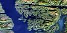
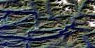
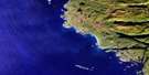
Seymour Inlet Surrounding Area Aerial Photo Maps
 |
 |
 |
 |
 |
 |
 |
 |
 |
 |
 |
 |
 |
 |
 |
 |
© Department of Natural Resources Canada. All rights reserved.
Seymour Inlet Gazetteer
The following places can be found on satellite image map 092M02 Seymour Inlet:
Seymour Inlet Satellite Image: Bays
Alison SoundBelize Inlet
Frederick Sound
Haig Bay
Maunsell Bay
Safe Cove
Salmon Arm
Seymour Inlet
Shelter Cove
Wigwam Bay
Seymour Inlet Satellite Image: Capes
Bluff PointBrew Peninsula
Dine Point
Green Point
Howard Point
Martin Point
Miles Point
Nose Point
Taaltz Point
Towry Point
Seymour Inlet Satellite Image: Channels
Eclipse NarrowsWakeman Sound
Seymour Inlet Satellite Image: Cliffs
Poison BluffSeymour Inlet Satellite Image: Indian Reserves
Alalco Indian Reserve 8Dug-da-myse Indian Reserve 12
Graveyard Indian Reserve 9
Kuthlo Indian Reserve 18
Kyidagwis Indian Reserve 2
Owh-wis-too-a-wan Indian Reserve 10
Pel-looth'l kai Indian Reserve 17
Peneece Indian Reserve 11
Réserve indienne Alalco 8
Réserve indienne Dug-da-myse 12
Réserve indienne Kuthlo 18
Réserve indienne Kyidagwis 2
Réserve indienne Owh-wis-too-a-wan 10
Réserve indienne Pel-looth'l kai 17
Réserve indienne Peneece 11
Réserve indienne Waump 16
Réserve indienne Wawwat'l 12
Waump Indian Reserve 16
Wawwat'l Indian Reserve 12
Seymour Inlet Satellite Image: Lakes
Boomerang LakeHuaskin Lake
Marion Lake
McGregor Lake
Nepah Lagoon
Seymour Inlet Satellite Image: Mountains
Chaîne CôtièreCoast Mountains
Finger Mountain
Mount Cooper
Mount Verney
Pacific Ranges
Perpendicular Mountain
Rapid Cone
Sir Harry Range
Snowdrift Mountain
Snowdrift Range
Tottenham Range
Village Mountain
Seymour Inlet Satellite Image: Major municipal/district area - major agglomerations
Regional District of Mount WaddingtonSeymour Inlet Satellite Image: Rivers
Belize CreekCanoe Creek
Frederic Creek
Rainbow Creek
Saghalie Creek
Seymour River
Taaltz Creek
Waamtx Creek
Waamtx River
Wakeman River
Waump Creek
Wawwatl Creek
© Department of Natural Resources Canada. All rights reserved.
092M Related Maps:
092M Rivers Inlet092M01 Atwaykellesse River
092M02 Seymour Inlet
092M03 Belize Inlet
092M04 Cape Caution
092M05 Goose Bay
092M06 Smith Inlet
092M07 Mount Philley
092M08 Catto Creek
092M09 Machmell River
092M10 Owikeno Lake
092M11 Rivers Inlet
092M12 Fish Egg Inlet
092M13 Namu
092M14 Kilbella River
092M15 Tzeo River
092M16 Sheemahant River
