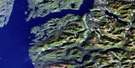
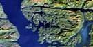
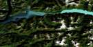
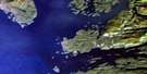
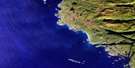
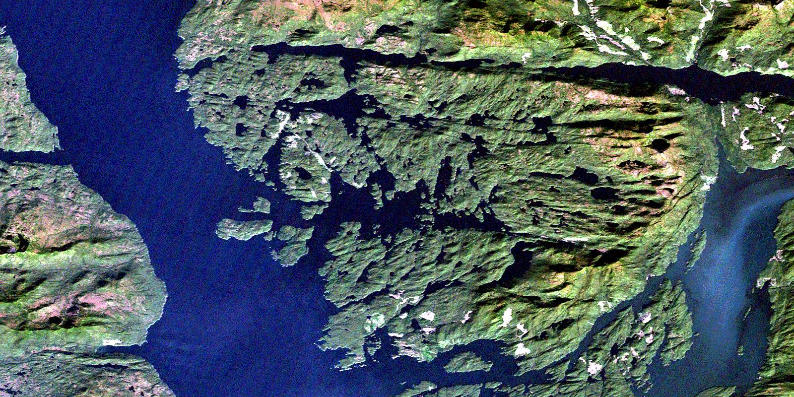
Fish Egg Inlet Satellite Image Map
Download Free Aerial Photo 092M12 at 1:50,000 scale
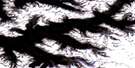
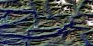
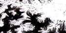
Fish Egg Inlet Satellite Imagery
To view this satellite map, mouse over the air photo on the right.
You can also download this satellite image map for free:
092M12 Fish Egg Inlet high-resolution satellite image map.
Maps for the Fish Egg Inlet aerial map sheet 092M12 at 1:50,000 scale are also available in these versions:
Fish Egg Inlet Surrounding Area Aerial Photo Maps
 |
 |
 |
 |
 |
 |
 |
 |
 |
 |
 |
 |
 |
 |
 |
 |
© Department of Natural Resources Canada. All rights reserved.
Fish Egg Inlet Gazetteer
The following places can be found on satellite image map 092M12 Fish Egg Inlet:
Fish Egg Inlet Satellite Image: Bays
Charcoal BayFalse Inlet
Fifer Bay
Finn Bay
Fish Egg Inlet
Fish Trap Bay
Frypan Bay
Geetla Inlet
Gildersleeve Bay
Goldstream Harbour
Green Island Anchorage
Hardy Inlet
Hemasila Inlet
Henderson Bay
Illahie Arm
Illahie Inlet
Joe's Bay
Johnston Bay
Kwakume Inlet
Mantrap Inlet
McClusky Bay
Morgan Bay
Oyster Bay
Philip Inlet
Pierce Bay
Rivers Inlet
Safety Cove
Sandell Bay
Sleepy Bay
Sulphur Arm
Taylor Bay
Wannock Cove
Waterfall Inlet
Fish Egg Inlet Satellite Image: Capes
Addenbroke PointArthur Point
Bosquet Point
Call Point
Christopher Point
Experiment Point
Fleming Point
Guise Point
Hanbury Point
Kelp Point
Kelpie Point
Kwakume Point
Long Point
McLeod Point
North Point
Safety Point
South Point
Stone Point
Truman Point
Umme Point
Wedgborough Point
Whidbey Point
Fish Egg Inlet Satellite Image: Channels
Bickle PassageConvoy Passage
Darby Channel
Fairmile Passage
Fitz Hugh Sound
Klaquaek Channel
Kwakshua Channel
Patrol Passage
Souvenir Passage
The Narrows
Weeolk Passage
Fish Egg Inlet Satellite Image: Indian Reserves
Cockmi Indian Reserve 3Réserve indienne Cockmi 3
Fish Egg Inlet Satellite Image: Islands
Addenbroke IslandBald Islet
Blair Island
Calvert Island
Corvette Islands
Edna Mathews Island
Ethel Island
Florence Island
Green Island
Hat Island
Hecate Island
Ida Island
Lone Island
Mary Island
Morrow Island
Pendleton Island
Penrose Island
Salvage Island
Sweeper Island
The Haystack
Walbran Island
Welch Island
Fish Egg Inlet Satellite Image: Lakes
Agnes LakeAsh Lake
Cookson Lake
Doris Lake
Elizabeth Lagoon
Elizabeth Lake
Elsie Lake
Hoy Lake
Mullion Lake
Fish Egg Inlet Satellite Image: Mountains
Cape RangeChaîne Côtière
Coast Mountains
Koeye Range
Mount Buxton
Pacific Ranges
Safety Mountain
Fish Egg Inlet Satellite Image: Major municipal/district area - major agglomerations
Central Coast Regional DistrictFish Egg Inlet Satellite Image: Conservation areas
Hakai Recreation AreaPenrose Island Marine Park
Fish Egg Inlet Satellite Image: Rapids
The RapidsFish Egg Inlet Satellite Image: Rivers
Doris CreekMacNair Creek
Matilda Creek
Newichy Creek
Oatsoalis Creek
Rutherford Creek
Sandell River
Third Creek
Tseeiskay River
Fish Egg Inlet Satellite Image: Shoals
Barge RockBarracuda Rock
Clip Rock
Evening Rock
Nucleus Reef
Stevens Rocks
Storm Rock
Swan Rock
Fish Egg Inlet Satellite Image: Unincorporated areas
BeaverBrunswick
Dawson Landing
Dawsons Landing
Good Hope
Provincial Cannery
Wadhams
© Department of Natural Resources Canada. All rights reserved.
092M Related Maps:
092M Rivers Inlet092M01 Atwaykellesse River
092M02 Seymour Inlet
092M03 Belize Inlet
092M04 Cape Caution
092M05 Goose Bay
092M06 Smith Inlet
092M07 Mount Philley
092M08 Catto Creek
092M09 Machmell River
092M10 Owikeno Lake
092M11 Rivers Inlet
092M12 Fish Egg Inlet
092M13 Namu
092M14 Kilbella River
092M15 Tzeo River
092M16 Sheemahant River
