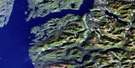
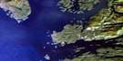
Machmell River Satellite Image Map
Download Free Aerial Photo 092M09 at 1:50,000 scale
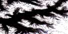
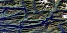
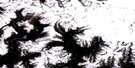
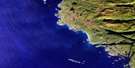
Machmell River Satellite Imagery
To view this satellite map, mouse over the air photo on the right.
You can also download this satellite image map for free:
092M09 Machmell River high-resolution satellite image map.
Maps for the Machmell River aerial map sheet 092M09 at 1:50,000 scale are also available in these versions:
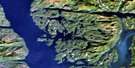
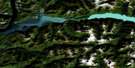
Machmell River Surrounding Area Aerial Photo Maps
 |
 |
 |
 |
 |
 |
 |
 |
 |
 |
 |
 |
 |
 |
 |
 |
© Department of Natural Resources Canada. All rights reserved.
Machmell River Gazetteer
The following places can be found on satellite image map 092M09 Machmell River:
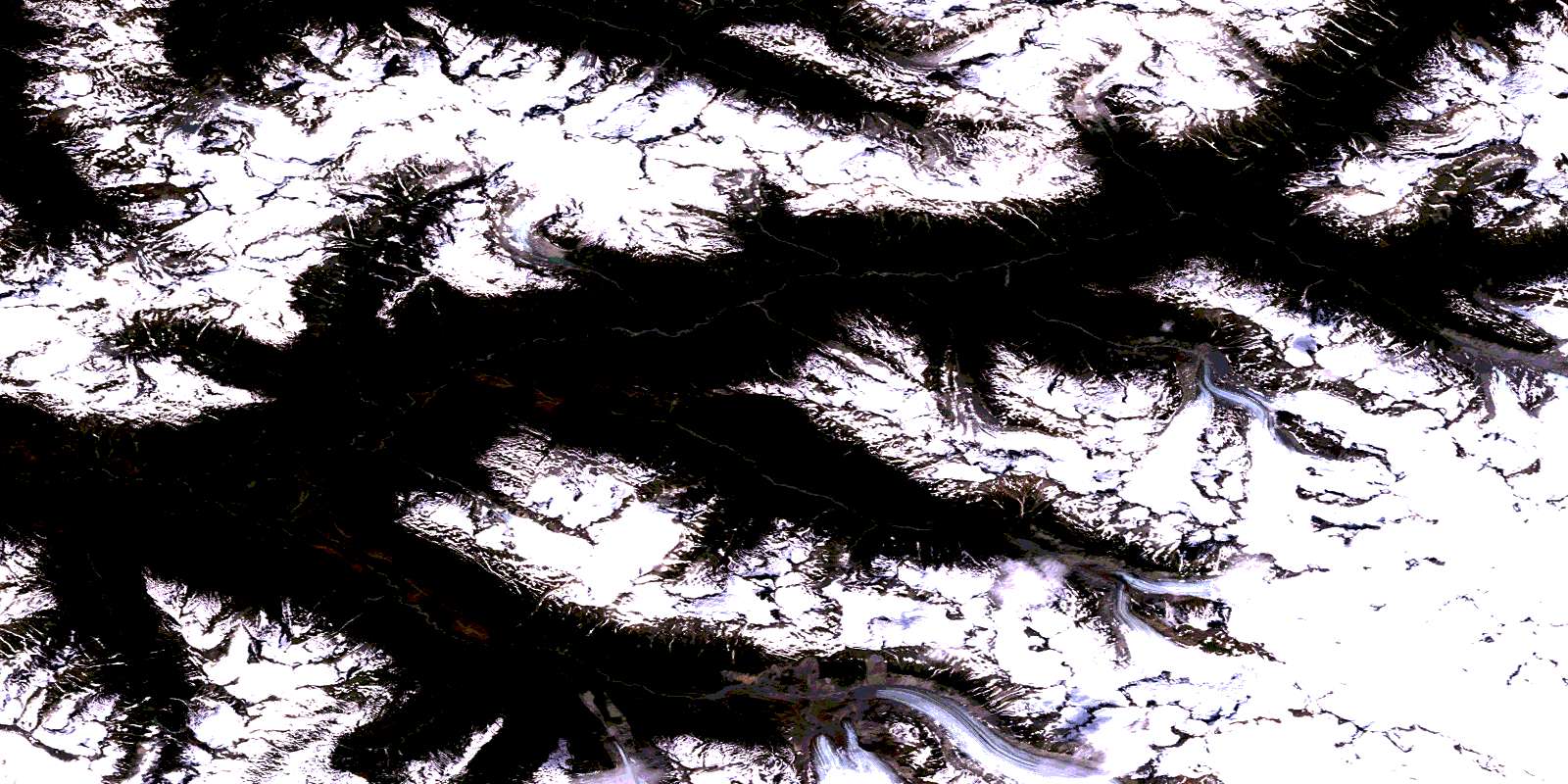
Machmell River Satellite Image: Glaciers
Cheetwoot GlacierKilippi Glacier
Klinaklini Glacier
Pashleth Glacier
Silverthrone Glacier
Machmell River Satellite Image: Lakes
Selman LakeMachmell River Satellite Image: Mountains
Chaîne CôtièreCoast Mountains
Mount Alain
Mount Barnett
Mount Bradshaw
Mount Brager
Mount Buzza
Mount Conery
Mount Dolter
Mount Feusi
Mount Fitzgerald
Mount Girard
Mount Gunn
Mount Huth
Mount Image
Mount Lomas
Mount Mann
Mount McArdle
Mount McBrinn
Mount McGovern
Mount McWilliam
Mount Murie
Mount Myron
Mount Pelletier
Mount Rogan
Mount Sandes
Mount Sills
Mount Smee
Mount Storry
Mount Swordy
Mount Tran
Mount Willoughby
Mount Witts
Pacific Ranges
Silverthrone Mountain
Triplex Mountain
Machmell River Satellite Image: Major municipal/district area - major agglomerations
Central Coast Regional DistrictRegional District of Mount Waddington
Machmell River Satellite Image: Rivers
Ankitree CreekKilippi Creek
Kull Creek
Lemolo Creek
Machmell River
Morrow Creek
Pashleth Creek
Selman Creek
Syme Creek
© Department of Natural Resources Canada. All rights reserved.
092M Related Maps:
092M Rivers Inlet092M01 Atwaykellesse River
092M02 Seymour Inlet
092M03 Belize Inlet
092M04 Cape Caution
092M05 Goose Bay
092M06 Smith Inlet
092M07 Mount Philley
092M08 Catto Creek
092M09 Machmell River
092M10 Owikeno Lake
092M11 Rivers Inlet
092M12 Fish Egg Inlet
092M13 Namu
092M14 Kilbella River
092M15 Tzeo River
092M16 Sheemahant River
