Oppy Lake Satellite Image Map
Download Free Aerial Photo 093E01 at 1:50,000 scale
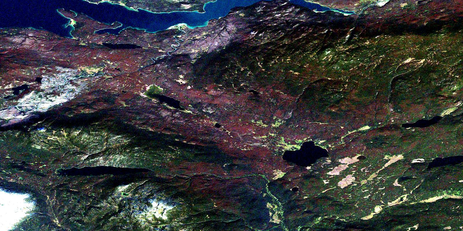
Oppy Lake Satellite Imagery
To view this satellite map, mouse over the air photo on the right.
You can also download this satellite image map for free:
093E01 Oppy Lake high-resolution satellite image map.
Maps for the Oppy Lake aerial map sheet 093E01 at 1:50,000 scale are also available in these versions:
Oppy Lake Surrounding Area Aerial Photo Maps
 |
 |
 |
 |
 |
 |
 |
 |
 |
 |
 |
 |
 |
 |
 |
 |
© Department of Natural Resources Canada. All rights reserved.
Oppy Lake Gazetteer
The following places can be found on satellite image map 093E01 Oppy Lake:
Oppy Lake Satellite Image: Bays
Connelly BayOppy Lake Satellite Image: Capes
Connelly PointOppy Lake Satellite Image: Indian Reserves
Réserve indienne Ulkatcho 5Ulkatcho Indian Reserve 5
Oppy Lake Satellite Image: Lakes
Claire LakeDemion Lake
Detna Lake
Eutsuk Lake
Mink Lake
Nahlouza Lake
Natuza Lake
Oppy Lake
Tahuntesko Lake
Tetachuck Lake
Unchietlat Lakes
Oppy Lake Satellite Image: Mountains
Coast MountainsHolmes Ridge
Ice Hill
Kitimat Ranges
Nadedikus Mountain
Pattullo Range
Watut Mountain
Oppy Lake Satellite Image: Major municipal/district area - major agglomerations
Regional District of Bulkley-NechakoOppy Lake Satellite Image: Conservation areas
Tweedsmuir ParkOppy Lake Satellite Image: Plains
Interior PlateauNechako Plateau
Oppy Lake Satellite Image: Rapids
Redfern RapidsOppy Lake Satellite Image: Rivers
Chezko RiverDetna Creek
Nahlouza Creek
Natuza Creek
Oppy Creek
Qualcho Creek
Ramsey Creek
Tetachuck River
Unchietlat
© Department of Natural Resources Canada. All rights reserved.
093E Related Maps:
093E Whitesail Lake093E01 Oppy Lake
093E02 Tesla Lake
093E03 Foresight Mountain
093E04 Kitlope Lake
093E05 Tsaytis River
093E06 Chikamin Mountain
093E07 St Thomas River
093E08 Tlutlias Creek
093E09 Ghitezli Lake
093E10 Whitesail Reach
093E11 Troitsa Lake
093E12 Tahtsa Peak
093E13 Nanika Lake
093E14 Newcombe Lake
093E15 Nadina River
093E16 Wistaria
