Tahtsa Peak Satellite Image Map
Download Free Aerial Photo 093E12 at 1:50,000 scale
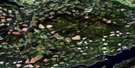
Tahtsa Peak Satellite Imagery
To view this satellite map, mouse over the air photo on the right.
You can also download this satellite image map for free:
093E12 Tahtsa Peak high-resolution satellite image map.
Maps for the Tahtsa Peak aerial map sheet 093E12 at 1:50,000 scale are also available in these versions:
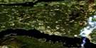
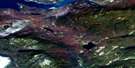
Tahtsa Peak Surrounding Area Aerial Photo Maps
 |
 |
 |
 |
 |
 |
 |
 |
 |
 |
 |
 |
 |
 |
 |
 |
© Department of Natural Resources Canada. All rights reserved.
Tahtsa Peak Gazetteer
The following places can be found on satellite image map 093E12 Tahtsa Peak:
Tahtsa Peak Satellite Image: Geographical areas
Range 4 Coast Land DistrictTahtsa Peak Satellite Image: Lakes
Moraine LakeNanika Lake
Nechako Reservoir
Sandifer Lake
Siffleur Lake
Tahtsa Lake
Tahtsa Peak Satellite Image: Mountains
Chaîne CôtièreCoast Mountains
Hazelton Mountains
Kasalka Mountains
Kasalka Range
Kitimat Ranges
Mount DuBose
Sandifer Peak
Tahtsa Peak
Tahtsa Ranges
The Jaws
Tsah Mountain
Tahtsa Peak Satellite Image: Major municipal/district area - major agglomerations
Regional District of Bulkley-NechakoRegional District of Kitimat-Stikine
Tahtsa Peak Satellite Image: Rivers
Caribou CreekHoretzky Creek
Kemano River
Laventie Creek
Sandifer Creek
Seekwyakin Creek
South Seekwyakin Creek
Wachwas Creek
Tahtsa Peak Satellite Image: Unincorporated areas
KemanoTahtsa Peak Satellite Image: Valleys
Penteuch Pass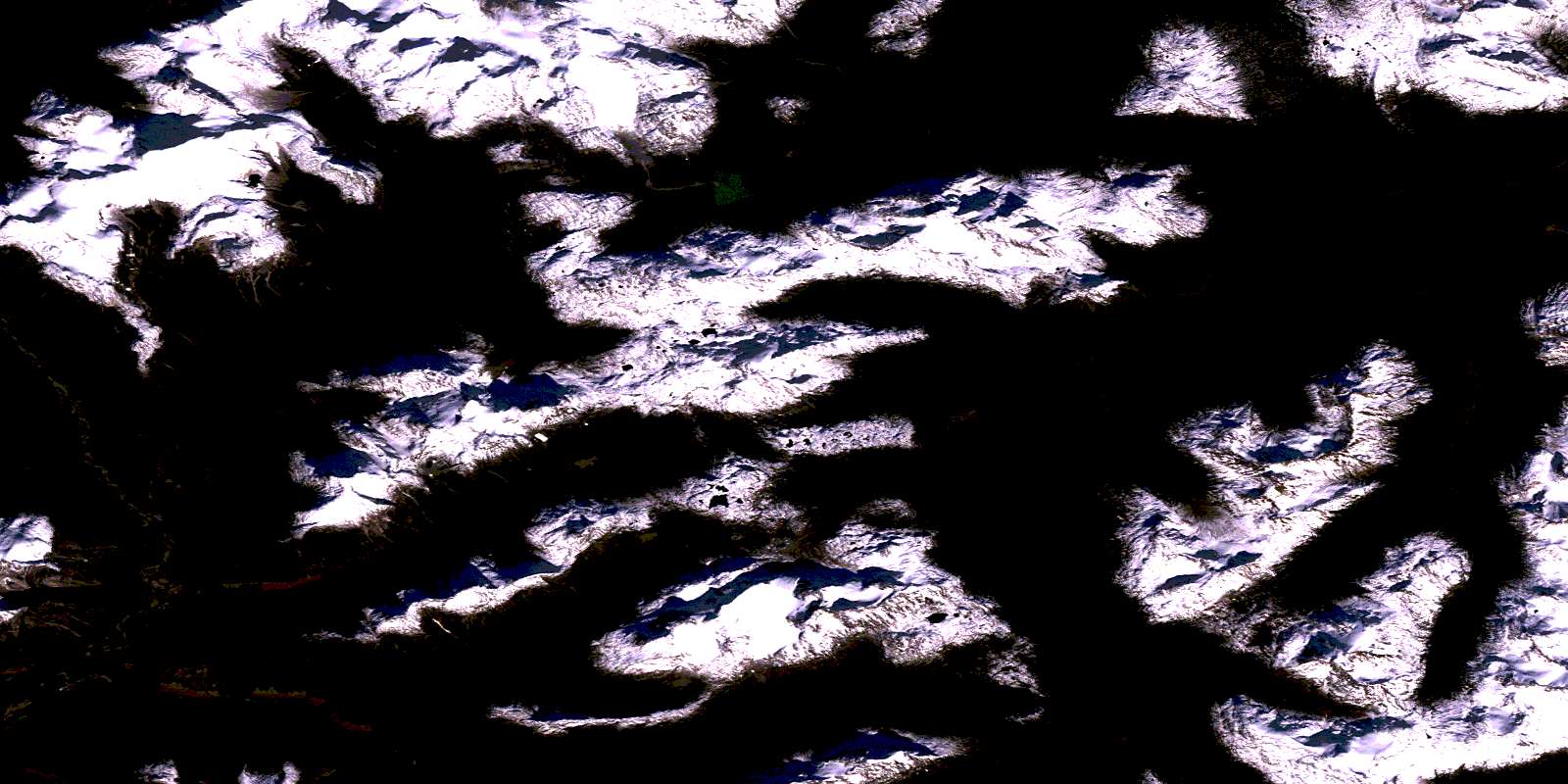
© Department of Natural Resources Canada. All rights reserved.
093E Related Maps:
093E Whitesail Lake093E01 Oppy Lake
093E02 Tesla Lake
093E03 Foresight Mountain
093E04 Kitlope Lake
093E05 Tsaytis River
093E06 Chikamin Mountain
093E07 St Thomas River
093E08 Tlutlias Creek
093E09 Ghitezli Lake
093E10 Whitesail Reach
093E11 Troitsa Lake
093E12 Tahtsa Peak
093E13 Nanika Lake
093E14 Newcombe Lake
093E15 Nadina River
093E16 Wistaria
