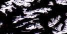
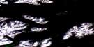
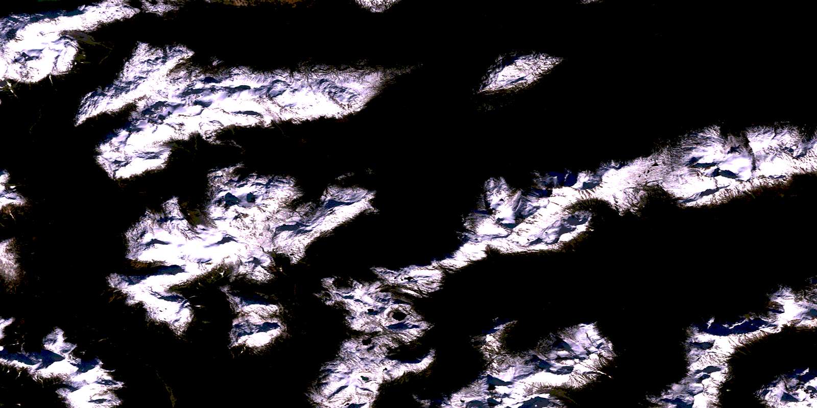
Chikamin Mountain Satellite Image Map
Download Free Aerial Photo 093E06 at 1:50,000 scale
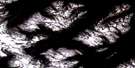
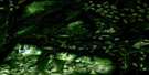
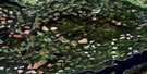
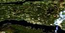
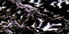
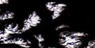
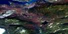
Chikamin Mountain Satellite Imagery
To view this satellite map, mouse over the air photo on the right.
You can also download this satellite image map for free:
093E06 Chikamin Mountain high-resolution satellite image map.
Maps for the Chikamin Mountain aerial map sheet 093E06 at 1:50,000 scale are also available in these versions:
Chikamin Mountain Surrounding Area Aerial Photo Maps
 |
 |
 |
 |
 |
 |
 |
 |
 |
 |
 |
 |
 |
 |
 |
 |
© Department of Natural Resources Canada. All rights reserved.
Chikamin Mountain Gazetteer
The following places can be found on satellite image map 093E06 Chikamin Mountain:
Chikamin Mountain Satellite Image: Bays
Zinc BayChikamin Mountain Satellite Image: Capes
Trapp PointChikamin Mountain Satellite Image: Islands
Arete IslandMaroon Island
Chikamin Mountain Satellite Image: Lakes
Coles LakeCosgrove Lake
Eutsuk Lake
Haven Lake
Kenney Lake
Lindquist Lake
Little Whitesail Lake
Musclow Lake
Nechako Reservoir
Seel Lake
Surel Lake
Whitesail Lake
Chikamin Mountain Satellite Image: Mountains
Arete MountainArête Mountain
Chaîne Côtière
Chikamin Mountain
Chikamin Range
Coast Mountains
Core Mountain
Kitimat Ranges
Lindquist Peak
Mount Haven
Mount Irma
Mount Musclow
Mount Stranack
Musclow Mountain
Price Peak
Ptarmigan Peak
Sias Mountain
Smaby Peak
Surel Peak
Tenaiko Mountains
Tenaiko Range
Tochquonyalla Mountains
Tochquonyalla Range
Chikamin Mountain Satellite Image: Major municipal/district area - major agglomerations
Central Coast Regional DistrictRegional District of Bulkley-Nechako
Regional District of Kitimat-Stikine
Chikamin Mountain Satellite Image: Conservation areas
Tweedsmuir ParkTweedsmuir Recreation Area
Chikamin Mountain Satellite Image: Rivers
Chatsquot CreekChikamin Creek
Coles Creek
Ear Creek
Gamsby Creek
Gamsby River
George Creek
McCuish Creek
Salahagen Creek
Sias Creek
Troitsa Creek
Chikamin Mountain Satellite Image: Valleys
Gardé PassLindquist Pass
McCuish Pass
Surel Pass
© Department of Natural Resources Canada. All rights reserved.
093E Related Maps:
093E Whitesail Lake093E01 Oppy Lake
093E02 Tesla Lake
093E03 Foresight Mountain
093E04 Kitlope Lake
093E05 Tsaytis River
093E06 Chikamin Mountain
093E07 St Thomas River
093E08 Tlutlias Creek
093E09 Ghitezli Lake
093E10 Whitesail Reach
093E11 Troitsa Lake
093E12 Tahtsa Peak
093E13 Nanika Lake
093E14 Newcombe Lake
093E15 Nadina River
093E16 Wistaria
