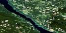
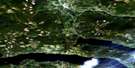
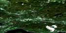
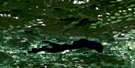
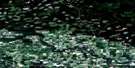
Fraser Lake Satellite Image Map
Download Free Aerial Photo 093K02 at 1:50,000 scale
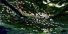
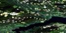
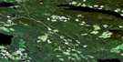
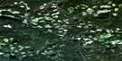
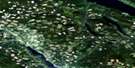
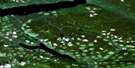
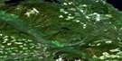
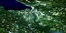
Fraser Lake Satellite Imagery
To view this satellite map, mouse over the air photo on the right.
You can also download this satellite image map for free:
093K02 Fraser Lake high-resolution satellite image map.
Maps for the Fraser Lake aerial map sheet 093K02 at 1:50,000 scale are also available in these versions:
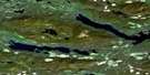
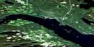
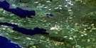
Fraser Lake Surrounding Area Aerial Photo Maps
 |
 |
 |
 |
 |
 |
 |
 |
 |
 |
 |
 |
 |
 |
 |
 |
© Department of Natural Resources Canada. All rights reserved.
Fraser Lake Gazetteer
The following places can be found on satellite image map 093K02 Fraser Lake:
Fraser Lake Satellite Image: Bays
Simon BayFraser Lake Satellite Image: Capes
Mouse PointVinnedge Point
Fraser Lake Satellite Image: Channels
Nautley RiverFraser Lake Satellite Image: Indian Reserves
Canyon Lake (Ormonde Lake) Indian Reserve 7Fraser Lake Indian Reserve 2
Nautley (Fort Fraser) Indian Reserve 1
Ormonde Creek Indian Reserve 8
Réserve indienne Canyon Lake (Ormonde Lake) 7
Réserve indienne Fraser Lake 2
Réserve indienne Nautley (Fort Fraser) 1
Réserve indienne Ormonde Creek 8
Réserve indienne Seaspunkut 4
Réserve indienne Stellaquo (Stella) 1
Réserve indienne Stellaquo 5
Réserve indienne Yensischuck 3
Seaspunkut Indian Reserve 4
Stellaquo (Stella) Indian Reserve 1
Stellaquo Indian Reserve 5
Yensischuck Indian Reserve 3
Fraser Lake Satellite Image: Islands
Azilene Cho NuAzilene Yaz Nu
Ellis Island
Huntly Island
Otter Island
Fraser Lake Satellite Image: Lakes
Adams LakeAlf Lake
Angly Lake
Deserter Lake
Drywilliam Lake
Etcho Lake
Foster Lakes
François Lake
Fraser Lake
Jean Lake
Joseph Lake
Justine Lake
Klez Lake
Leg Lake
McLean Lake
Mudhole Lake
Oona Lake
Ormond Lake
Ormonde Lake
Peta Lake
Rock Lake
Roys Lake
Seas Lake
Stag Lake
Stern Lake
Theda Lake
Top Lake
Fraser Lake Satellite Image: Mountains
Pitka MountainFraser Lake Satellite Image: Major municipal/district area - major agglomerations
Regional District of Bulkley-NechakoFraser Lake Satellite Image: Conservation areas
Beaumont ParkFraser Lake Satellite Image: Plains
Interior PlateauNechako Plateau
Fraser Lake Satellite Image: Rivers
Alf CreekAngly Creek
Clarke Creek
Duncan Creek
Endako River
Foster Creek
Four Mile Creek
Mudhole Creek
Nechako River
Nine Mile Creek
Ormond Creek
Ormonde Creek
Perry Creek
Peta Creek
Robertson Creek
Shotgun Creek
Stellako River
Stern Creek
Tatin Creek
Tatsutnai Creek
Fraser Lake Satellite Image: Unincorporated areas
EncombeFort Fraser
Lejac
Nithi River
Stellako
Fraser Lake Satellite Image: Villages
Fraser Lake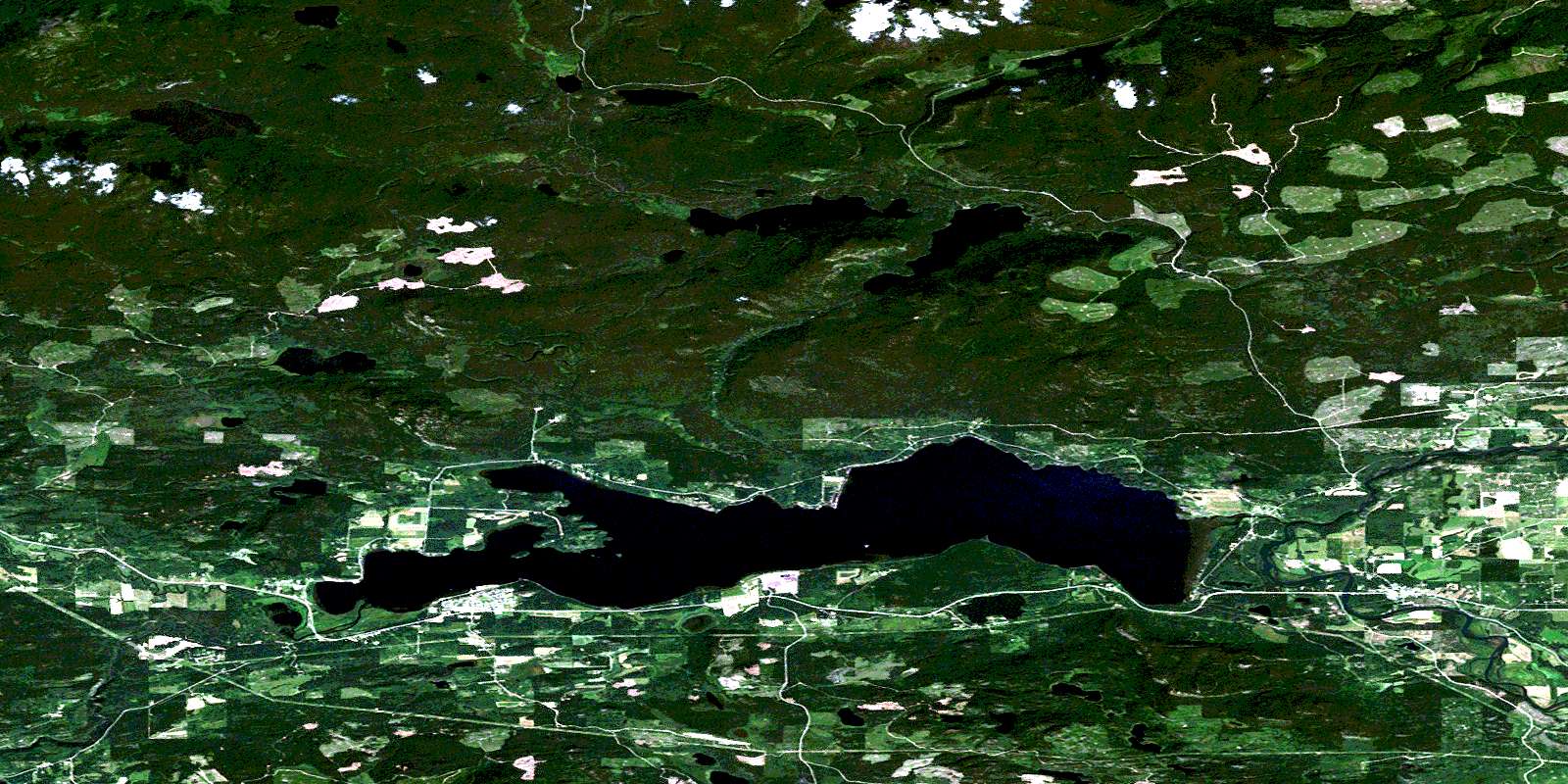
© Department of Natural Resources Canada. All rights reserved.
093K Related Maps:
093K Fort Fraser093K01 Vanderhoof
093K02 Fraser Lake
093K03 Endako
093K04 Burns Lake
093K05 Decker Lake
093K06 Taltapin Lake
093K07 Shass Mountain
093K08 Fort St James
093K09 Pinchi Lake
093K10 Stuart Lake
093K11 Cunningham Lake
093K12 Pendleton Bay
093K13 Tochcha Lake
093K14 Trembleur Lake
093K15 Inzana Lake
093K16 Tezzeron Creek
