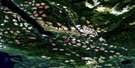
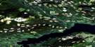
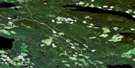
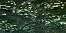
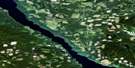
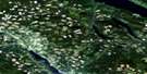
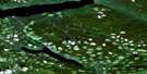
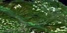
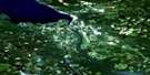
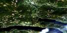
Fort St James Satellite Image Map
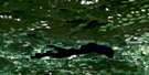
Download Free Aerial Photo 093K08 at 1:50,000 scale
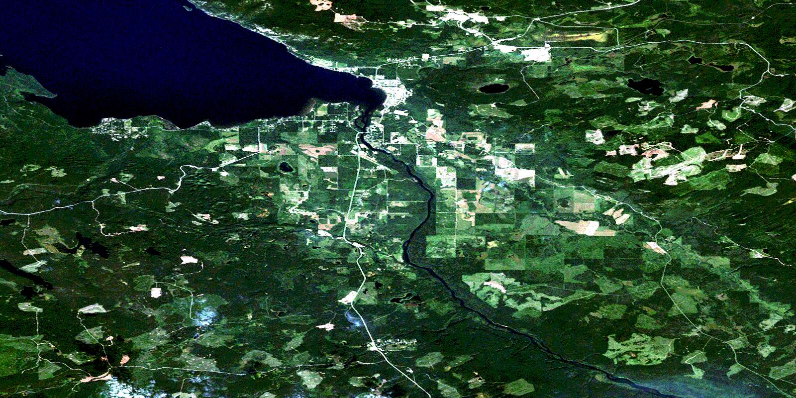
Fort St James Satellite Imagery
To view this satellite map, mouse over the air photo on the right.
You can also download this satellite image map for free:
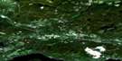
093K08 Fort St James high-resolution satellite image map.
Maps for the Fort St James aerial map sheet 093K08 at 1:50,000 scale are also available in these versions:
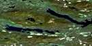
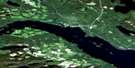
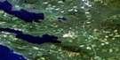
Fort St James Surrounding Area Aerial Photo Maps
 |
 |
 |
 |
 |
 |
 |
 |
 |
 |
 |
 |
 |
 |
 |
 |
© Department of Natural Resources Canada. All rights reserved.
Fort St James Gazetteer
The following places can be found on satellite image map 093K08 Fort St James:
Fort St James Satellite Image: Bays
Kasaan BaySauchi Bay
Sowchea Bay
Stones Bay
Fort St James Satellite Image: Beaches
Cottonwood BeachPaarens Beach
Parrens Beach
Sandy Beach
Fort St James Satellite Image: Capes
Colony PointFort St James Satellite Image: District municipality
Fort St. JamesFort St James Satellite Image: Indian Reserves
Beaver Islands Indian Reserve 8Necoslie (Fort St. James) Indian Reserve 1
Necoslie IndianReserve 1
Nehounlee Lake (Six Mile Lake) Indian Reserve 13
Nehounlee Lake Indian Reserve 13
North Road 19
North Road Indian Reserve 19
Réserve indienne Beaver Islands 8
Réserve indienne Necoslie (Fort St. James) 1
Réserve indienne Necoslie 1
Réserve indienne Nehounlee Lake (Six Mile Lake) 13
Réserve indienne Nehounlee Lake 13
Réserve indienne North Road 19
Réserve indienne Six Mile Meadow 6
Réserve indienne Six Mile Meadow 6
Réserve indienne Sowchea 3
Réserve indienne Sowchea 3A
Réserve indienne Tatselawas (Stuart River) 2
Réserve indienne Tatselawas 2
Réserve indienne Uzta (Nahounli Creek) 4
Réserve indienne Uzta (Nahounli Creek) 7A
Réserve indienne Uzta 4
Réserve indienne Uzta 7A
Réserve indienne Williams Prairie Meadow 1A
Réserve indienne Williams Prairie Meadow 1A
Six Mile Meadow Indian Reserve 6
Six Mile Meadow Indian Reserve 6
Sowchea Indian Reserve 3
Sowchea Indian Reserve 3A
Tatselawas (Stuart River) Indian Reserve 2
Tatselawas Indian Reserve 2
Uzta (Nahounli Creek) Indian Reserve 4
Uzta (Nahounli Creek) Indian Reserve 7A
Uzta Indian Reserve 4
Uzta Indian Reserve 7A
Williams Prairie Meadow Indian Reserve 1A
Williams Prairie Meadow Indian Reserve 1A
Fort St James Satellite Image: Islands
Beaver IslandHoneymoon Island
Fort St James Satellite Image: Lakes
Beaver Dam LakeBone Lake
Bulrush Lake
Lind Lake
Looncall Lake
Marie Lake
Nahounli Lake
Nanna Lake
Pitka Lake
Spad Lake
Stuart Lake
Tebbutt Lake
Tulle Lake
Windfall Lake
Fort St James Satellite Image: Mountains
Mount RosettiFort St James Satellite Image: Major municipal/district area - major agglomerations
Regional District of Bulkley-NechakoFort St James Satellite Image: Conservation areas
Fort St. James National Historic Site of CanadaLieu historique national du Canada du Fort-St. James
Mount Pope Park
Paarens Beach Park
Parrens Beach Park
Sowchea Bay Park
Sowchea Bay Recreation Area
Fort St James Satellite Image: Plains
Interior PlateauNechako Plateau
Fort St James Satellite Image: Rivers
Bearcub CreekBone Creek
Cranberry Creek
Dog Creek
Maltby Creek
Nahounli Creek
Necoslie River
Olie Creek
Pitka Creek
Prairie Meadow Creek
Prairie Meadow Creek
Sowchea Creek
Stuart River
Tsah Creek
Fort St James Satellite Image: Shoals
Rowe ReefFort St James Satellite Image: Unincorporated areas
Dog CreekFort St James Satellite Image: Low vegetation
Nehounlee MarshUzta Marsh
© Department of Natural Resources Canada. All rights reserved.
093K Related Maps:
093K Fort Fraser093K01 Vanderhoof
093K02 Fraser Lake
093K03 Endako
093K04 Burns Lake
093K05 Decker Lake
093K06 Taltapin Lake
093K07 Shass Mountain
093K08 Fort St James
093K09 Pinchi Lake
093K10 Stuart Lake
093K11 Cunningham Lake
093K12 Pendleton Bay
093K13 Tochcha Lake
093K14 Trembleur Lake
093K15 Inzana Lake
093K16 Tezzeron Creek
