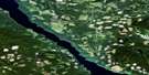
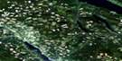
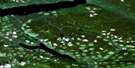
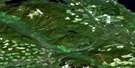
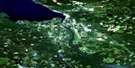
Stuart Lake Satellite Image Map
Download Free Aerial Photo 093K10 at 1:50,000 scale
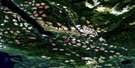
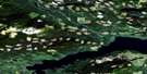
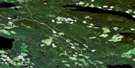
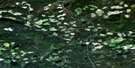
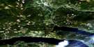
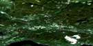
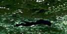
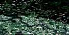
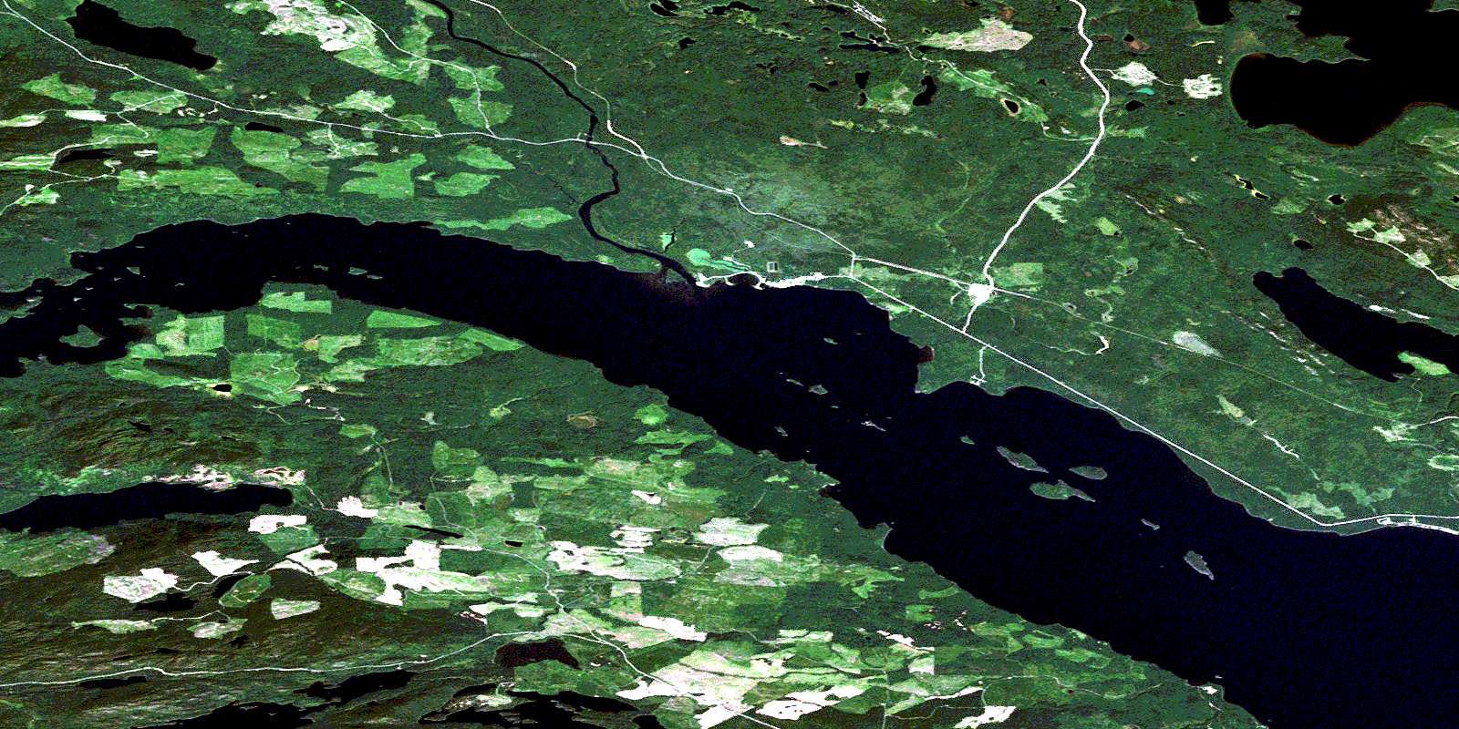
Stuart Lake Satellite Imagery
To view this satellite map, mouse over the air photo on the right.
You can also download this satellite image map for free:
093K10 Stuart Lake high-resolution satellite image map.
Maps for the Stuart Lake aerial map sheet 093K10 at 1:50,000 scale are also available in these versions:
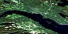
Stuart Lake Surrounding Area Aerial Photo Maps
 |
 |
 |
 |
 |
 |
 |
 |
 |
 |
 |
 |
 |
 |
 |
 |
© Department of Natural Resources Canada. All rights reserved.
Stuart Lake Gazetteer
The following places can be found on satellite image map 093K10 Stuart Lake:
Stuart Lake Satellite Image: Bays
Jus K'etl'o BayPeaceful Bay
Styles Bay
Whitefish Bay
Stuart Lake Satellite Image: Capes
Caesar PointDuck Point
Trail Point
Stuart Lake Satellite Image: Indian Reserves
Bihl' K'a Chah 20Bihl K'a Chah Indian Reserve 20
Bihlk'a Indian Reserve 6
Binche Indian Reserve 2
Camsell Lake 30
Camsell Lake Indian Reserve 30
Carsoosat Indian Reserve 17
Carsoosat Indian Reserve 5
Chundoo Lh'tan La 45
Chundoo Lh'tan La Indian Reserve 45
K'ay Noo 47
Keom Cho 38
Keom Cho Indian Reserve 38
Pinchie Indian Reserve 2
Réserve indienne Bihl K'a Chah 20
Réserve indienne Bihlk'a 6
Réserve indienne Binche 2
Réserve indienne Camsell Lake 30
Réserve indienne Carsoosat 17
Réserve indienne Carsoosat 5
Réserve indienne Chundoo Lh'tan La 45
Réserve indienne Keom Cho 38
Réserve indienne Pinchie 2
Réserve indienne Sisul Tl'o K'Ut 14
Réserve indienne Sisul Tl'o K'ut 21
Réserve indienne Stuart Lake (Dunah Island) 10
Réserve indienne Stuart Lake (Hungry Island) 9
Réserve indienne Stuart Lake 10
Réserve indienne Stuart Lake 9
Réserve indienne Tache 1
Réserve indienne Tanizul 43
Réserve indienne Tsun Tine Ah 37
Réserve indienne Whitefish Lake 6
Sisul Tl'o K'Ut 14
Sisul Tl'o K'ut 21
Sisul Tl'o K'Ut Indian Reserve 14
Sisul Tl'o K'ut Indian Reserve 21
Stuart Lake (Dunah Island) Indian Reserve 10
Stuart Lake (Hungry Island) Indian Reserve 9
Stuart Lake Indian Reserve 10
Stuart Lake Indian Reserve 9
Tache Indian Reserve 1
Tanizul 43
Tanizul Indian Reserve 43
Tsun Tine Ah 37
Tsun Tine Ah Indian Reserve 37
Whitefish Lake Indian Reserve 6
Stuart Lake Satellite Image: Islands
American IslandsBaynes Island
Chunsi Island
Dunah Island
Gull Island
Hobson Island
Hungry Island
Jennie Chow Island
K'i Island
Noodat Island
No'udin'ai Island
Smith Island
Wood Island
Stuart Lake Satellite Image: Lakes
Camsell LakeCrawdad Lake
Grassham Lake
Ogston Lake
Pinchi Lake
Shass Lake
Stuart Lake
Tandat Lake
Tarnezell Lake
Tezzeron Lake
Tomas Lake
Tseket Lake
Whitefish Lake
Stuart Lake Satellite Image: Major municipal/district area - major agglomerations
Regional District of Bulkley-NechakoStuart Lake Satellite Image: Conservation areas
Stuart Lake Marine ParkStuart Lake Park
Stuart Lake Satellite Image: Plains
Interior PlateauNechako Plateau
Stuart Lake Satellite Image: Rivers
Camsell CreekCamsell Creek
Pinchi Creek
Tachie River
Tarnezell Creek
Stuart Lake Satellite Image: Shoals
18 Mile ReefGull Rock
Jennie Chow Island Reef
Smith Island Reef
Sunnyside Reef
Stuart Lake Satellite Image: Unincorporated areas
SunnysideTachie
Tachie
© Department of Natural Resources Canada. All rights reserved.
093K Related Maps:
093K Fort Fraser093K01 Vanderhoof
093K02 Fraser Lake
093K03 Endako
093K04 Burns Lake
093K05 Decker Lake
093K06 Taltapin Lake
093K07 Shass Mountain
093K08 Fort St James
093K09 Pinchi Lake
093K10 Stuart Lake
093K11 Cunningham Lake
093K12 Pendleton Bay
093K13 Tochcha Lake
093K14 Trembleur Lake
093K15 Inzana Lake
093K16 Tezzeron Creek
