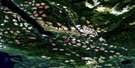
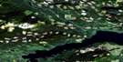
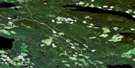
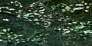
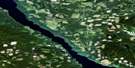
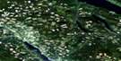
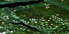
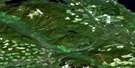
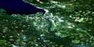
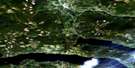
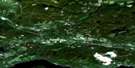
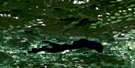
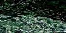
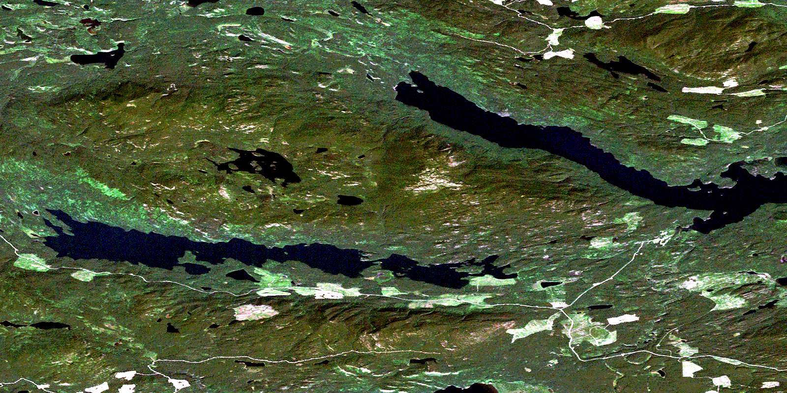
Cunningham Lake Satellite Image Map
Download Free Aerial Photo 093K11 at 1:50,000 scale
Cunningham Lake Satellite Imagery
To view this satellite map, mouse over the air photo on the right.
You can also download this satellite image map for free:
093K11 Cunningham Lake high-resolution satellite image map.
Maps for the Cunningham Lake aerial map sheet 093K11 at 1:50,000 scale are also available in these versions:
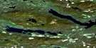
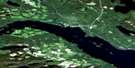
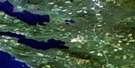
Cunningham Lake Surrounding Area Aerial Photo Maps
 |
 |
 |
 |
 |
 |
 |
 |
 |
 |
 |
 |
 |
 |
 |
 |
© Department of Natural Resources Canada. All rights reserved.
Cunningham Lake Gazetteer
The following places can be found on satellite image map 093K11 Cunningham Lake:
Cunningham Lake Satellite Image: Bays
Davis BayJus K'etl'o Bay
Monks Bay
Mud Bay
North Arm
Shaws Bay
Yekooche Bay
Cunningham Lake Satellite Image: Indian Reserves
Bihl' K'a Chah 20Cunningham Lake Indian Reserve 11
Hanson Indian Reserve 13
Ihch'Az Uz Ta Tsoh 44
Ihch'Az Uz Ta Tsoh Indian Reserve 44
Jus K'Ay Tl'Oh 32
Jus K'Ay Tl'Oh Indian Reserve 32
La Tse Cho Diz 33
La Tse Cho Diz Indian Reserve 33
Nak'a Lat 39
Nak'a Lat Indian Reserve 39
Nan Tl'At Indian Reserve 13
Nancut Indian Reserve 3
Réserve indienne Cunningham Lake 11
Réserve indienne Hanson 13
Réserve indienne Ihch'Az Uz Ta Tsoh 44
Réserve indienne Jus K'Ay Tl'Oh 32
Réserve indienne La Tse Cho Diz 33
Réserve indienne Nak'a Lat 39
Réserve indienne Nan Tl'At 13
Réserve indienne Nancut 3
Réserve indienne Skooby Island 48
Réserve indienne Ta Duhl' 36
Réserve indienne Tse Bay Ha Tine A 34
Réserve indienne Ucausley 16
Réserve indienne Ucausley 4
Réserve indienne Ye Koo Che 3
Réserve indienne Ye Koos Lee 11
Skooby Island 48
Skooby Island Indian Reserve 48
Ta Duhl' 36
Ta Duhl' Indian Reserve 36
Tse Bay Ha Tine A Indian Reserve 34
Ucausley Indian Reserve 16
Ucausley Indian Reserve 4
Ye Koo Che Indian Reserve 3
Ye Koos Lee Indian Reserve 11
Cunningham Lake Satellite Image: Islands
McKelvey IslandSkooby Island
Yakooche Island
Yekooche Island
Cunningham Lake Satellite Image: Lakes
Amy LakeBabine Lake
Cunningham Lake
McKelvey Lake
Rubyrock Lake
Starret Lake
Stuart Lake
Trembleur Lake
Ucausley Lake
Whitefish Lake
Cunningham Lake Satellite Image: Major municipal/district area - major agglomerations
Regional District of Bulkley-NechakoCunningham Lake Satellite Image: Conservation areas
Rubyrock Lake ParkCunningham Lake Satellite Image: Plains
Interior PlateauNechako Plateau
Cunningham Lake Satellite Image: Rivers
Butterfield CreekGullwing Creek
Nancut Creek
Rubyrock Creek
Tarnezell Creek
Ucausley Creek
West Tarnezell Creek
Whitefish Creek
Cunningham Lake Satellite Image: Road features
Babine PortageCunningham Lake Satellite Image: Shoals
Rainbow RockCunningham Lake Satellite Image: Unincorporated areas
Babine PortageNancut
Yekooche
© Department of Natural Resources Canada. All rights reserved.
093K Related Maps:
093K Fort Fraser093K01 Vanderhoof
093K02 Fraser Lake
093K03 Endako
093K04 Burns Lake
093K05 Decker Lake
093K06 Taltapin Lake
093K07 Shass Mountain
093K08 Fort St James
093K09 Pinchi Lake
093K10 Stuart Lake
093K11 Cunningham Lake
093K12 Pendleton Bay
093K13 Tochcha Lake
093K14 Trembleur Lake
093K15 Inzana Lake
093K16 Tezzeron Creek
