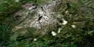
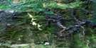
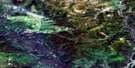
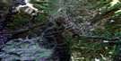
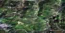
Mooney Creek Satellite Image Map
Download Free Aerial Photo 095C03 at 1:50,000 scale
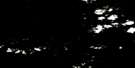
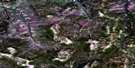
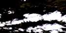
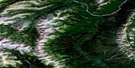
Mooney Creek Satellite Imagery
To view this satellite map, mouse over the air photo on the right.
You can also download this satellite image map for free:
095C03 Mooney Creek high-resolution satellite image map.
Maps for the Mooney Creek aerial map sheet 095C03 at 1:50,000 scale are also available in these versions:
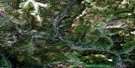
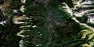
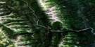
Mooney Creek Surrounding Area Aerial Photo Maps
 |
 |
 |
 |
 |
 |
 |
 |
 |
 |
 |
 |
 |
 |
 |
 |
© Department of Natural Resources Canada. All rights reserved.
Mooney Creek Gazetteer
The following places can be found on satellite image map 095C03 Mooney Creek:
Mooney Creek Satellite Image: Mountains
Beavercrow MountainBeavercrow Ridge
Beavercrow Ridge
Mooney Creek Satellite Image: Plains
Liard PlateauMooney Creek Satellite Image: Provinces
British ColumbiaColombie-Britannique
Mooney Creek Satellite Image: Rivers
Beaver RiverCrow River
Crow River
Larsen Creek
Mooney Creek
Whitefish River
Mooney Creek Satellite Image: Territory
Yukon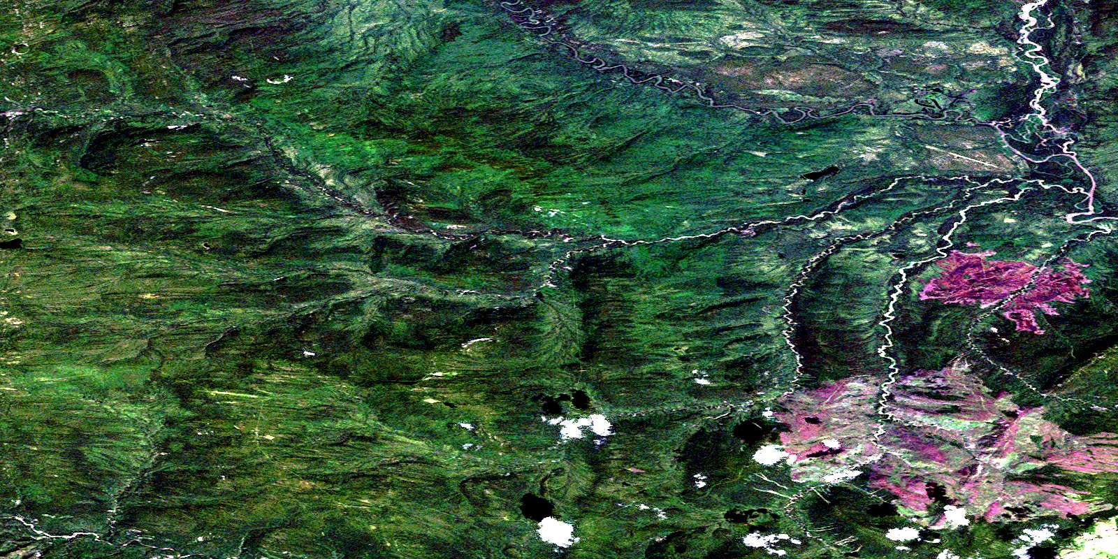
© Department of Natural Resources Canada. All rights reserved.
095C Related Maps:
095C La Biche River095C01E Mount Martin
095C01W Mount Martin
095C02E Mount Merrill
095C02W Mount Merrill
095C03E Mooney Creek
095C03W Mooney Creek
095C04E Larsen Lake
095C04W Larsen Lake
095C05E Pool Creek
095C05W Pool Creek
095C06E Gold Pay Creek
095C06W Gold Pay Creek
095C07E Brown Lake
095C07W Brown Lake
095C08E Babiche Mountain
095C08W Babiche Mountain
095C09 Chinkeh Creek
095C10 Tika Creek
095C11 Whitefish River
095C12 Jackpine Lake
095C13 Balsam Lake
095C14 No Title
095C15 Dendale Lake
095C16 Etanda Lakes
