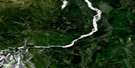
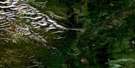
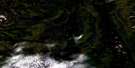
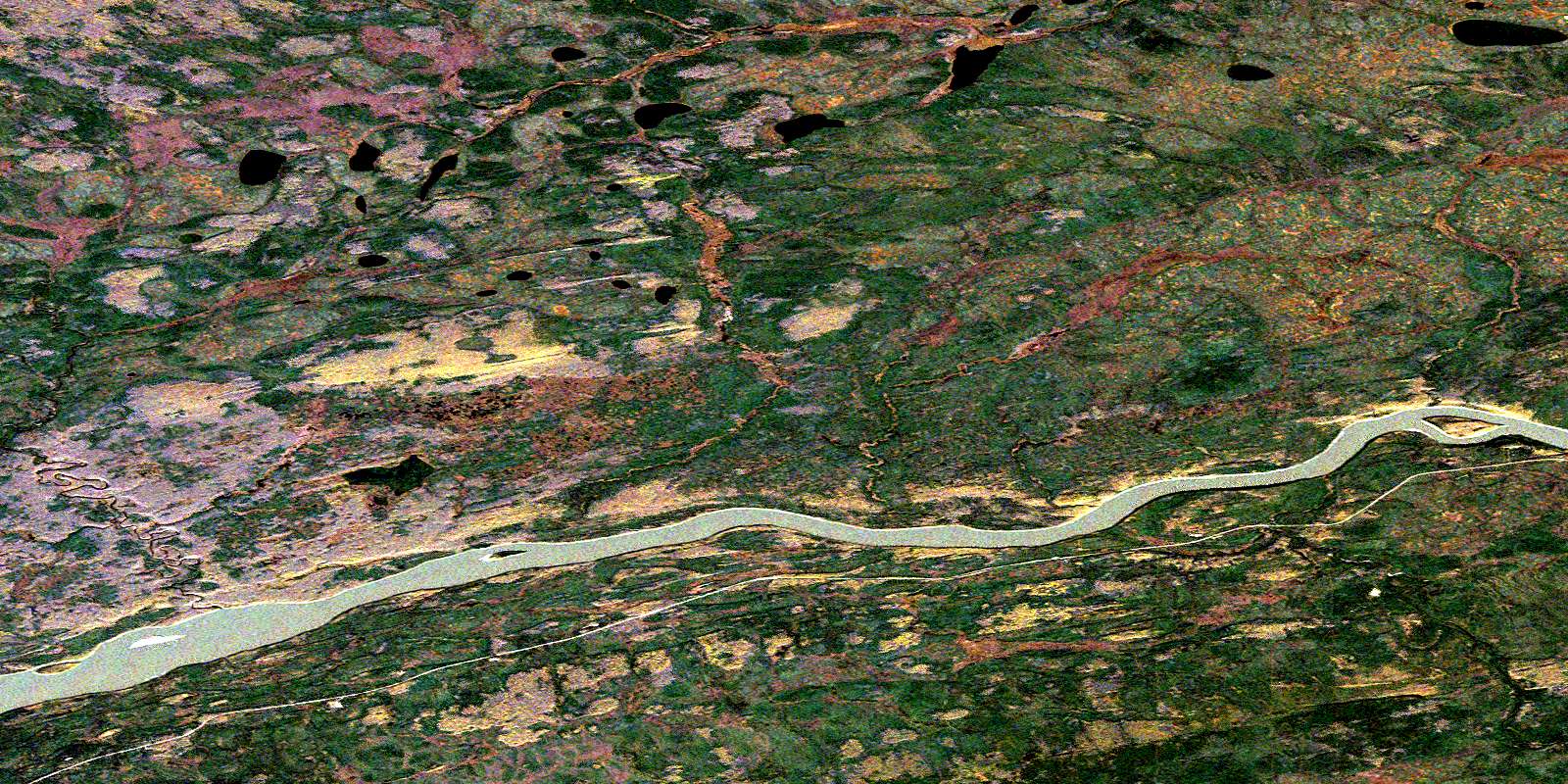
Matou River Satellite Image Map
Download Free Aerial Photo 095G08 at 1:50,000 scale
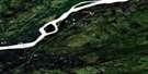
Matou River Satellite Imagery
To view this satellite map, mouse over the air photo on the right.
You can also download this satellite image map for free:
095G08 Matou River high-resolution satellite image map.
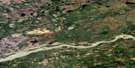
Maps for the Matou River aerial map sheet 095G08 at 1:50,000 scale are also available in these versions:
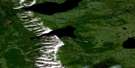
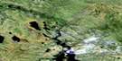
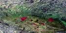
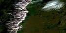
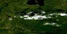
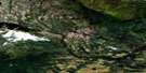
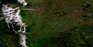
Matou River Surrounding Area Aerial Photo Maps
 |
 |
 |
 |
 |
 |
 |
 |
 |
 |
 |
 |
 |
 |
 |
 |
© Department of Natural Resources Canada. All rights reserved.
Matou River Gazetteer
The following places can be found on satellite image map 095G08 Matou River:
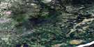
Matou River Satellite Image: Islands
Cape IslandMatou River Satellite Image: Rivers
Birch RiverLiard River
Matou River
© Department of Natural Resources Canada. All rights reserved.
095G Related Maps:
095G Sibbeston Lake095G01 No Title
095G02 Dehdjida Island
095G03 Nahanni Butte
095G04 The Twisted Mountain
095G05 Fishtrap Creek
095G06 Grainger River
095G07 Dehdjida Creek
095G08 Matou River
095G09 No Title
095G10 No Title
095G11 No Title
095G12 Mid Lake
095G13 Ram River
095G14 Little Doctor Lake
095G15 Sibbeston Lake
095G16 Martin Hills
