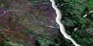
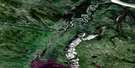
Mount Gaudet Satellite Image Map
Download Free Aerial Photo 095O05 at 1:50,000 scale
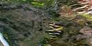
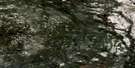
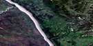
Mount Gaudet Satellite Imagery
To view this satellite map, mouse over the air photo on the right.
You can also download this satellite image map for free:
095O05 Mount Gaudet high-resolution satellite image map.
Maps for the Mount Gaudet aerial map sheet 095O05 at 1:50,000 scale are also available in these versions:
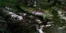
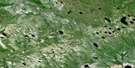
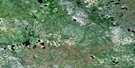
Mount Gaudet Surrounding Area Aerial Photo Maps
 |
 |
 |
 |
 |
 |
 |
 |
 |
 |
 |
 |
 |
 |
 |
 |
© Department of Natural Resources Canada. All rights reserved.
Mount Gaudet Gazetteer
The following places can be found on satellite image map 095O05 Mount Gaudet:
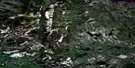
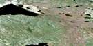
Mount Gaudet Satellite Image: Cliffs
Roche-qui-trempe-à-l'eauMount Gaudet Satellite Image: Islands
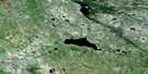
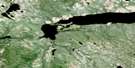
Rocky IslandMount Gaudet Satellite Image: Lakes
Moose LakesMount Gaudet Satellite Image: Mountains
Ducot PeakFranklin Mountains
McConnell Range
Mount Gaudet
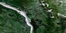
Mount Gaudet Satellite Image: Rivers
Eetseemoday RiverFleuve Mackenzie
Gashoday Creek
Hodgson Creek
Mackenzie River
Mountain People Creek
Ochre River
Philips Creek
Willow Creek
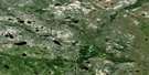
Mount Gaudet Satellite Image: Unincorporated areas
Wrigley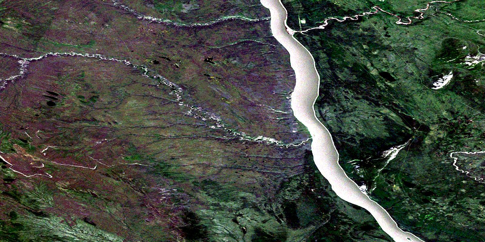
© Department of Natural Resources Canada. All rights reserved.
095O Related Maps:
095O Wrigley095O01 No Title
095O02 Paeenfee Lake
095O03 Smith Creek
095O04 Wrigley River
095O05 Mount Gaudet
095O06 Mount Kindle
095O07 No Title
095O08 No Title
095O09 No Title
095O10 Nothaykay Lake
095O11 Table Mountain
095O12 Johnson River
095O13 Blackwater River
095O14 Blackwater Lake
095O15 Notseglee Lake
095O16 No Title
