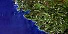
Cape Parkins Satellite Image Map
Download Free Aerial Photo 102I08 at 1:50,000 scale
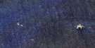
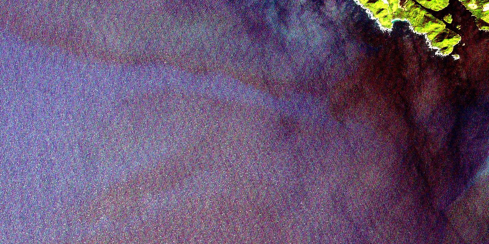
Cape Parkins Satellite Imagery
To view this satellite map, mouse over the air photo on the right.
You can also download this satellite image map for free:
102I08 Cape Parkins high-resolution satellite image map.
Maps for the Cape Parkins aerial map sheet 102I08 at 1:50,000 scale are also available in these versions:
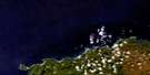
Cape Parkins Surrounding Area Aerial Photo Maps
 |
 |
 |
|
 |
|||
 |
|||
© Department of Natural Resources Canada. All rights reserved.
Cape Parkins Gazetteer
The following places can be found on satellite image map 102I08 Cape Parkins:
Cape Parkins Satellite Image: Bays
Browning InletForward Inlet
Grant Bay
Hansen Bay
Lowrie Bay
North Harbour
Quatsino Sound
Raft Cove
San Josef Bay
Sea Otter Cove
Cape Parkins Satellite Image: Capes
Cape PalmerstonCape Parkins
Commerell Point
Greenwood Point
Hanna Point
Hazard Point
Kains Point
Lippy Point
Montgomery Point
Cape Parkins Satellite Image: Indian Reserves
O-ya-kum-la Indian Reserve 11Réserve indienne O-ya-kum-la 11
Cape Parkins Satellite Image: Islands
Helen IslandsHunt Islets
Kains Island
Matthews Island
Pinnacle Island
Vancouver Island
Cape Parkins Satellite Image: Lakes
Eric LakeErie Lake
Topknot Lake
William Lake
Cape Parkins Satellite Image: Mountains
Flat Top MountainKains Mountain
Mount Brandes
Mount Hansen
Mount Kains
Plumper Hill
Cape Parkins Satellite Image: Major municipal/district area - major agglomerations
Regional District of Mount WaddingtonCape Parkins Satellite Image: Rivers
Fisherman RiverGalato Creek
Jensen Creek
Macjack River
Montgomery Creek
Rasmus Creek
Ronning Creek
San Josef River
Sharp Creek
Stranby River
Cape Parkins Satellite Image: Shoals
Flint RockHall Bank
Heron Rock
Parkins Rock
Quinn Rock
Robson Rock
South Danger Rock
Cape Parkins Satellite Image: Unincorporated areas
HolbergSan Josef Bay
Winter Harbour
© Department of Natural Resources Canada. All rights reserved.
