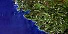
Cape Scott Satellite Image Map
Download Free Aerial Photo 102I16 at 1:50,000 scale
Cape Scott Satellite Imagery
To view this satellite map, mouse over the air photo on the right.
You can also download this satellite image map for free:
102I16 Cape Scott high-resolution satellite image map.
Maps for the Cape Scott aerial map sheet 102I16 at 1:50,000 scale are also available in these versions:
Cape Scott Surrounding Area Aerial Photo Maps
 |
 |
 |
|
 |
|||
 |
|||
© Department of Natural Resources Canada. All rights reserved.
Cape Scott Gazetteer
The following places can be found on satellite image map 102I16 Cape Scott:
Cape Scott Satellite Image: Bays
Experiment BightFisherman Bay
Guise Bay
Nels Bight
Nissen Bight
Shuttleworth Bight
Cape Scott Satellite Image: Beaches
KebegwisCape Scott Satellite Image: Capes
Cape ScottCape Sutil
Christensen Point
Frederiksen Point
Cape Scott Satellite Image: Channels
Scott ChannelCape Scott Satellite Image: Indian Reserves
Nahwitti Indian Reserve 4Ouchton Indian Reserve 3
Réserve indienne Nahwitti 4
Réserve indienne Ouchton 3
Cape Scott Satellite Image: Islands
Île de VancouverVancouver Island
Weser Island
Cape Scott Satellite Image: Lakes
Hansen LagoonHeimra Lake
Cape Scott Satellite Image: Mountains
Knob HillNahwitti Cone
Northwest Nipple
Soren Hill
Cape Scott Satellite Image: Major municipal/district area - major agglomerations
Regional District of Mount WaddingtonCape Scott Satellite Image: Conservation areas
Cape Scott ParkCape Scott Satellite Image: Rivers
Bragg CreekDakota Creek
Fisherman River
Hansen Creek
Irony Creek
Laura Creek
Nahwitti River
Obling Creek
St. Mary Creek
Stranby River
Strandby River
Cape Scott Satellite Image: Shoals
Cook BankEdmund Rock
Thomsen Rock
Cape Scott Satellite Image: Unincorporated areas
Cape Scott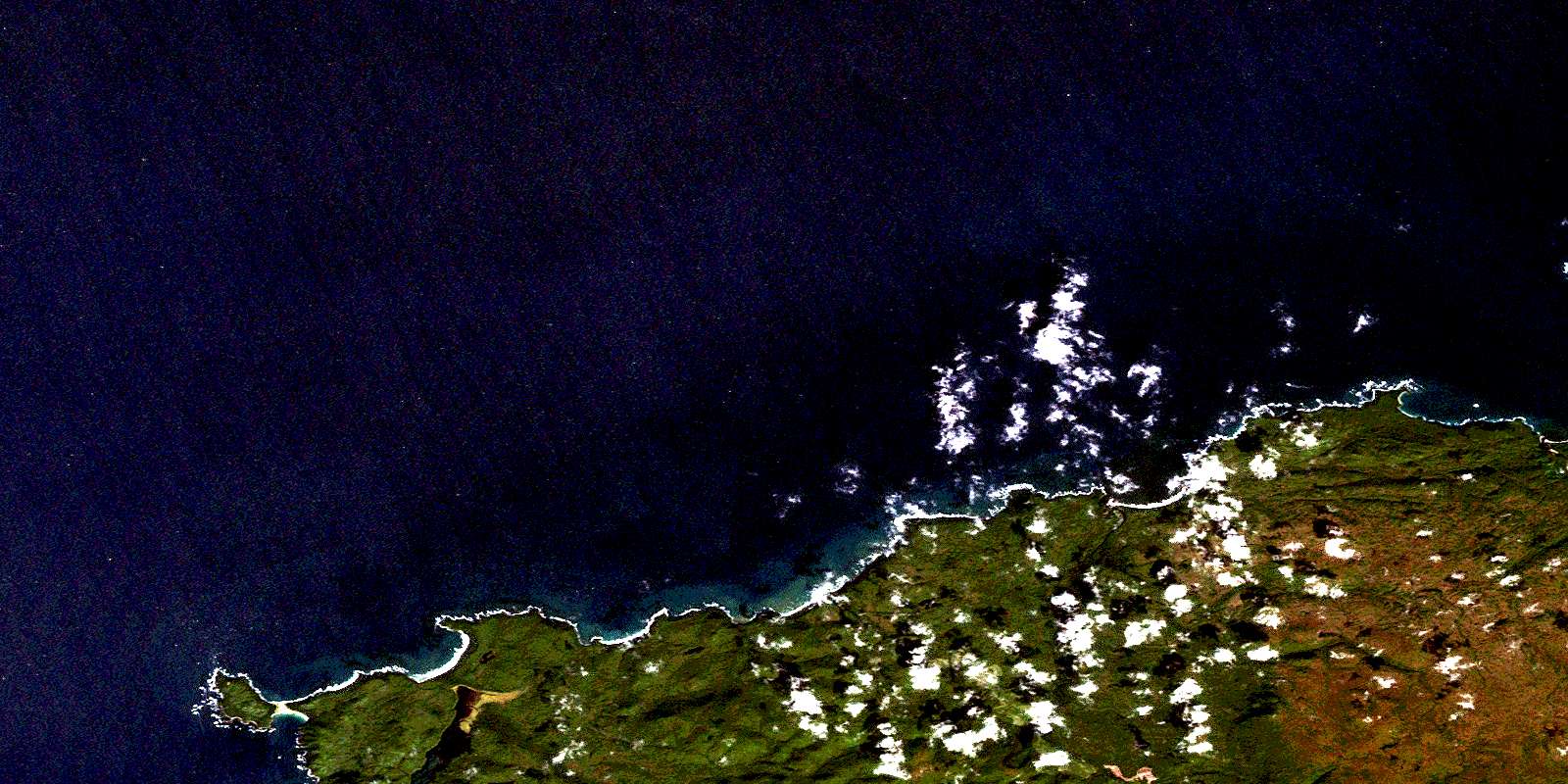
© Department of Natural Resources Canada. All rights reserved.
