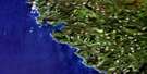
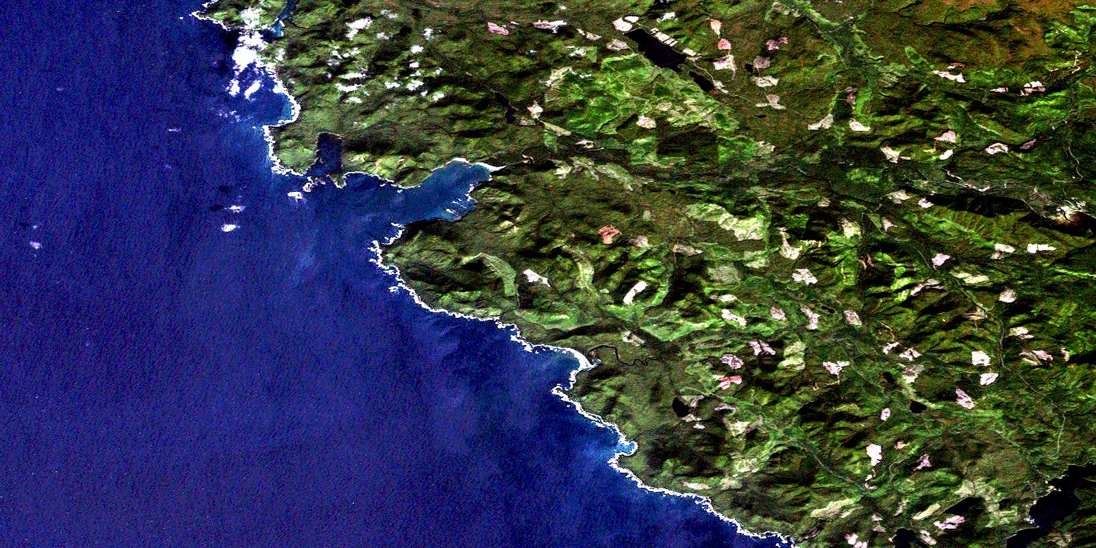
San Josef Satellite Image Map
Download Free Aerial Photo 102I09 at 1:50,000 scale
San Josef Satellite Imagery
To view this satellite map, mouse over the air photo on the right.
You can also download this satellite image map for free:
102I09 San Josef high-resolution satellite image map.
Maps for the San Josef aerial map sheet 102I09 at 1:50,000 scale are also available in these versions:
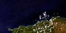
San Josef Surrounding Area Aerial Photo Maps
 |
 |
 |
|
 |
|||
 |
|||
© Department of Natural Resources Canada. All rights reserved.
San Josef Gazetteer
The following places can be found on satellite image map 102I09 San Josef:
San Josef Satellite Image: Bays
Browning InletForward Inlet
Grant Bay
Hansen Bay
Holberg Inlet
Leeson Harbour
Lowrie Bay
North Harbour
Raft Cove
San Josef Bay
Sea Otter Cove
Winter Harbour
San Josef Satellite Image: Capes
Cape PalmerstonCape Russell
Commerell Point
Greenwood Point
Hanna Point
Hazard Point
Lippy Point
Montgomery Point
Topknot Point
Topnot Point
San Josef Satellite Image: Indian Reserves
Clienna Indian Reserve 14Grass Point Indian Reserve 13
Quatleyo Indian Reserve 12
Réserve indienne Clienna 14
Réserve indienne Grass Point 13
Réserve indienne Quatleyo 12
Réserve indienne Semach 2
Semach Indian Reserve 2
San Josef Satellite Image: Islands
Helen IslandsHunt Islets
Île de Vancouver
Kelley Island
Matthews Island
Pinnacle Island
Vancouver Island
Wedel Island
Winifred Islands
San Josef Satellite Image: Lakes
Brink LakeEric Lake
Erie Lake
Leeson Lake
Ludvig Lake
Moore Lake
Soren Lake
Topknot Lake
William Lake
San Josef Satellite Image: Military areas
Canadian Forces Station HolbergStation des Forces canadiennes Holberg
San Josef Satellite Image: Mountains
Flat Top MountainMount Brandes
Mount Hansen
Mount Ho
Mount St. Patrick
Plumper Hill
San Josef Satellite Image: Major municipal/district area - major agglomerations
Regional District of Mount WaddingtonSan Josef Satellite Image: Conservation areas
Cape Scott ParkRaft Cove Park
San Josef Satellite Image: Rivers
Denad CreekFisherman River
Galato Creek
Goodspeed River
Jensen Creek
Kwatleo Creek
Kwatleo Creek
Leeson Creek
Macjack River
Obling Creek
Quashtin Creek
Rasmus Creek
Ronning Creek
Russell Creek
San Josef River
Sharp Creek
St. Mary Creek
St. Patrick Creek
Stranby River
Strandby River
San Josef Satellite Image: Shoals
Bushby RockStrange Rock
San Josef Satellite Image: Unincorporated areas
Elephant CrossingHolberg
San Josef
San Josef Bay
Winter Harbour
© Department of Natural Resources Canada. All rights reserved.
