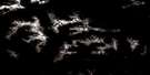
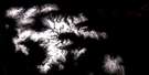
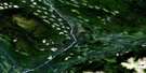
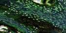
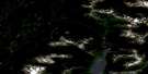
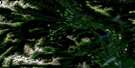
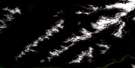
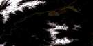
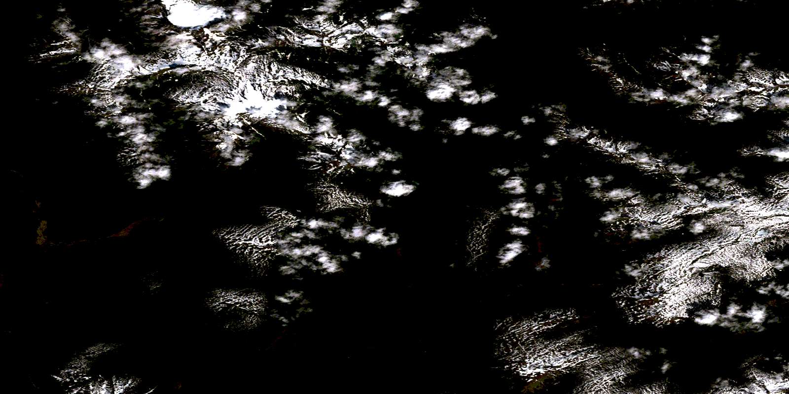
Lava Lake Satellite Image Map
Download Free Aerial Photo 103P02 at 1:50,000 scale
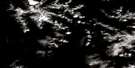
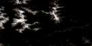
Lava Lake Satellite Imagery
To view this satellite map, mouse over the air photo on the right.
You can also download this satellite image map for free:
103P02 Lava Lake high-resolution satellite image map.
Maps for the Lava Lake aerial map sheet 103P02 at 1:50,000 scale are also available in these versions:
Lava Lake Surrounding Area Aerial Photo Maps
 |
 |
 |
 |
 |
 |
 |
 |
 |
 |
 |
 |
 |
 |
 |
 |
© Department of Natural Resources Canada. All rights reserved.
Lava Lake Gazetteer
The following places can be found on satellite image map 103P02 Lava Lake:
Lava Lake Satellite Image: Lakes
Jacks LakeLava Lake
Melita Lake
Ross Lake
Lava Lake Satellite Image: Mountains
Boundary RangesCoast Mountains
Hazelton Mountains
Kitimat Ranges
Mount Hoeft
Mount Philippa
Mount Priestley
Nass Range
Nass Ranges
Tseax Cone
Lava Lake Satellite Image: Major municipal/district area - major agglomerations
Regional District of Kitimat-StikineLava Lake Satellite Image: Conservation areas
Anhluut'ukwsim Laxmihl Angwinga'asanskwhl Nisga'a ParkNisga'a Memorial Lava Bed Park
Nisga'a Memorial Lava Bed Recreation Area
Lava Lake Satellite Image: Rivers
Aquila CreekAuk Creek
Bubo Creek
Canard Creek
Cedar River
Crater Creek
Eider Creek
Fulmar Creek
Gingit Creek
Gitzyon Creek
Insect Creek
Jacks Creek
Jay Creek
Kiteen River
Mosquito Creek
Seaskinnish Creek
Stenstrom Creek
Sterling Creek
Teal Creek
Tseax River
Tumbling Creek
© Department of Natural Resources Canada. All rights reserved.
103P Related Maps:
103P Nass River103P01 Kitwanga
103P02 Lava Lake
103P03 Tseax River
103P04 Greenville
103P05 Observatory Inlet
103P06 Alice Arm
103P07 Kiteen River
103P08 Kitwanga Lake
103P09 Kispiox River
103P10 Cranberry River
103P11 Kinskuch River
103P12 Hastings Arm
103P13 Stewart
103P14 Paw Lake
103P15 Brown Bear Lake
103P16 Kuldo Creek
