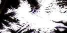
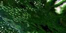
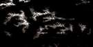
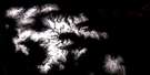
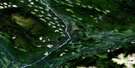
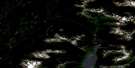
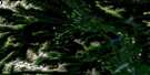
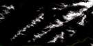
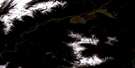
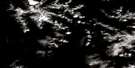
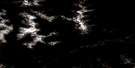
Observatory Inlet Satellite Image Map
Download Free Aerial Photo 103P05 at 1:50,000 scale
Observatory Inlet Satellite Imagery
To view this satellite map, mouse over the air photo on the right.
You can also download this satellite image map for free:
103P05 Observatory Inlet high-resolution satellite image map.
Maps for the Observatory Inlet aerial map sheet 103P05 at 1:50,000 scale are also available in these versions:
Observatory Inlet Surrounding Area Aerial Photo Maps
 |
 |
 |
 |
 |
 |
 |
 |
 |
 |
 |
 |
 |
 |
 |
 |
© Department of Natural Resources Canada. All rights reserved.
Observatory Inlet Gazetteer
The following places can be found on satellite image map 103P05 Observatory Inlet:
Observatory Inlet Satellite Image: Bays
Alice ArmBelle Bay
Granby Bay
Hastings Arm
Juggins Bay
Maple Bay
Mumford Cove
Observatory Inlet
Perry Bay
Salmon Cove
Strombeck Bay
Sylvester Bay
Observatory Inlet Satellite Image: Capes
Aiskew PointAzimuth Point
Bluff Point
Bocking Peninsula
Bonanza Point
Brooke Point
Car Point
Carr Point
Columbia Point
Davies Point
Dawkins Point
Fortier Point
Frank Point
Granby Peninsula
Granby Point
Graves Point
Hans Point
Johnson Point
Larcom Point
Maple Point
Pearson Point
Perry Peninsula
Perry Spit
Richards Point
Swamp Point
Thomas Point
Williams Point
Observatory Inlet Satellite Image: Channels
Davies PassageLiddle Channel
Paddy Passage
Portland Canal
Observatory Inlet Satellite Image: Cliffs
Smith BluffObservatory Inlet Satellite Image: Indian Reserves
Kinmelit Indian Reserve 20Ktsinet Indian Reserve 23
Réserve indienne Kinmelit 20
Réserve indienne Ktsinet 23
Réserve indienne Slooks 21
Réserve indienne Staqoo 22
Réserve indienne Tackuan 26
Réserve indienne Tackuan 26A
Slooks Indian Reserve 21
Staqoo Indian Reserve 22
Tackuan Indian Reserve 26
Tackuan Indian Reserve 26A
Observatory Inlet Satellite Image: Islands
Aiskew IslandBrooke Island
Carlson Islets
Doben Island
Guard Island
Guard Islet
Hattie Island
Larcom Island
Liddle Island
McGrath Island
Sophy Island
Stark Islet
Vadso Island
Observatory Inlet Satellite Image: Lakes
Bessie LakeBonanza Lake
Carney Lake
Ikzatk Lake
Ikzatqu Lake
Larcom Lagoon
Observatory Inlet Satellite Image: Mountains
Alice MountainAlice Peak
Boundary Ranges
Burniston Range
Campbell Range
Campbell Ridge
Chaîne Côtière
Chaloner Range
Chaloner Ridge
Coast Mountains
Dawson Range
Dawson Ridge
Hans Hill
Mount Clashmore
Mount Huntingdon
Mount Newport
Mount Tournay
Observatory Inlet Satellite Image: Major municipal/district area - major agglomerations
Regional District of Kitimat-StikineObservatory Inlet Satellite Image: Rivers
Anyox CreekBelle Bay Creek
Bluebell Creek
Bonanza Creek
Cascade Creek
Donahue Creek
Falls Creek
Glacier Creek
Gwunya Creek
Helen Creek
Hidden Creek
Isaac Creek
Kelskiist Creek
Nass River
Rodgers Creek
Showings Creek
Stagoo Creek
Stagoo River
Tauw Creek
Observatory Inlet Satellite Image: Shoals
Alice RockAnyox Rock
Brooke Shoal
Cane Rock
Davies Rock
Eik Rock
Forward Shoals
Hyde Rock
Vadso Rock
Vadso Rocks
Observatory Inlet Satellite Image: Miscellaneous sites
GwinmilitKsi Xts' at'kw
T'ak'uwaan
Xlukwskw
Xts'init
Observatory Inlet Satellite Image: Unincorporated areas
Anyox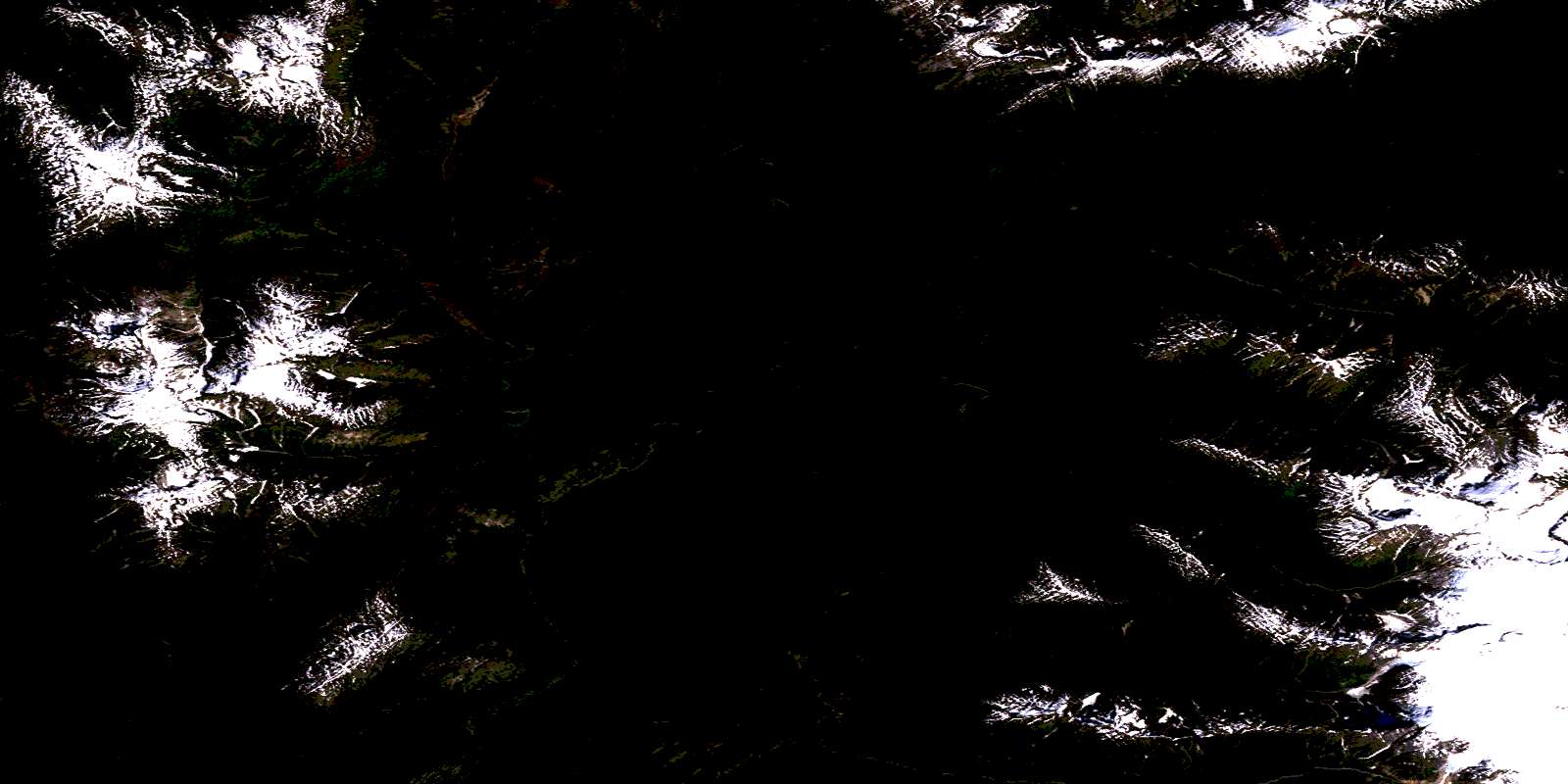
© Department of Natural Resources Canada. All rights reserved.
103P Related Maps:
103P Nass River103P01 Kitwanga
103P02 Lava Lake
103P03 Tseax River
103P04 Greenville
103P05 Observatory Inlet
103P06 Alice Arm
103P07 Kiteen River
103P08 Kitwanga Lake
103P09 Kispiox River
103P10 Cranberry River
103P11 Kinskuch River
103P12 Hastings Arm
103P13 Stewart
103P14 Paw Lake
103P15 Brown Bear Lake
103P16 Kuldo Creek
