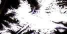
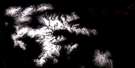
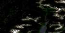
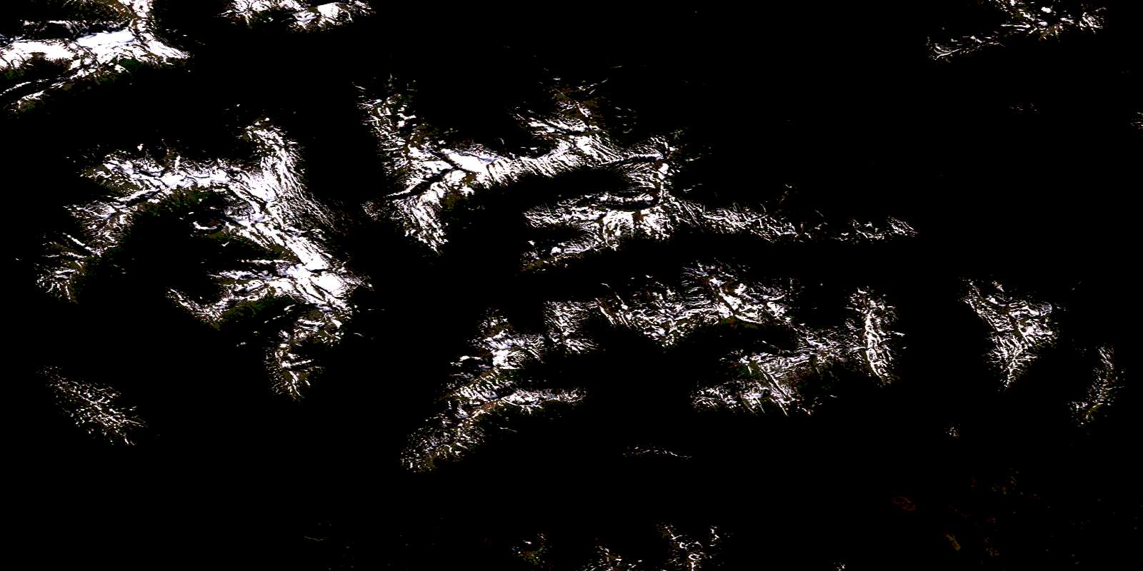
Kuldo Creek Satellite Image Map
Download Free Aerial Photo 103P16 at 1:50,000 scale
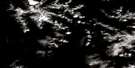
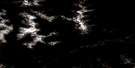
Kuldo Creek Satellite Imagery
To view this satellite map, mouse over the air photo on the right.
You can also download this satellite image map for free:
103P16 Kuldo Creek high-resolution satellite image map.
Maps for the Kuldo Creek aerial map sheet 103P16 at 1:50,000 scale are also available in these versions:
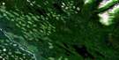
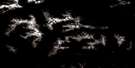
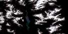
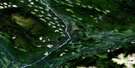
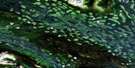
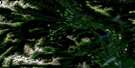
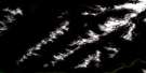
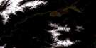
Kuldo Creek Surrounding Area Aerial Photo Maps
 |
 |
 |
 |
 |
 |
 |
 |
 |
 |
 |
 |
 |
 |
 |
 |
© Department of Natural Resources Canada. All rights reserved.
Kuldo Creek Gazetteer
The following places can be found on satellite image map 103P16 Kuldo Creek:
Kuldo Creek Satellite Image: Mountains
Skeena MountainsKuldo Creek Satellite Image: Major municipal/district area - major agglomerations
Regional District of Bulkley-NechakoRegional District of Kitimat-Stikine
Kuldo Creek Satellite Image: Rivers
Calamity CreekCullon Creek
Deep Canoe Creek
East Kispiox River
Kuldo Creek
Nangeese River
Sweetin River
© Department of Natural Resources Canada. All rights reserved.
103P Related Maps:
103P Nass River103P01 Kitwanga
103P02 Lava Lake
103P03 Tseax River
103P04 Greenville
103P05 Observatory Inlet
103P06 Alice Arm
103P07 Kiteen River
103P08 Kitwanga Lake
103P09 Kispiox River
103P10 Cranberry River
103P11 Kinskuch River
103P12 Hastings Arm
103P13 Stewart
103P14 Paw Lake
103P15 Brown Bear Lake
103P16 Kuldo Creek
