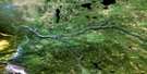
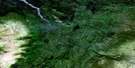
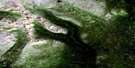
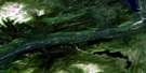
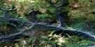
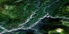
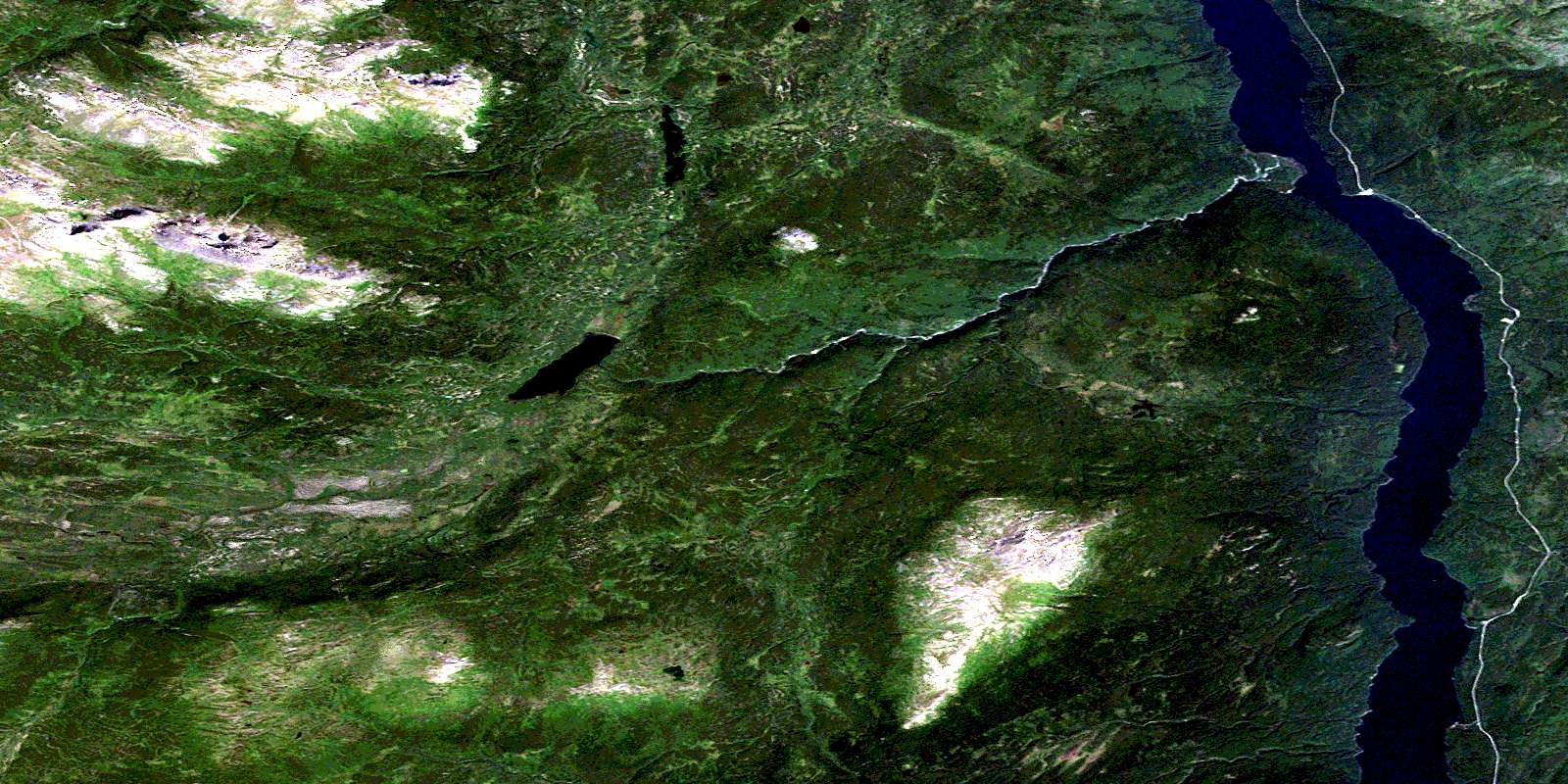
Little Dease Lake Satellite Image Map
Download Free Aerial Photo 104J09 at 1:50,000 scale
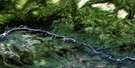
Little Dease Lake Satellite Imagery
To view this satellite map, mouse over the air photo on the right.
You can also download this satellite image map for free:
104J09 Little Dease Lake high-resolution satellite image map.
Maps for the Little Dease Lake aerial map sheet 104J09 at 1:50,000 scale are also available in these versions:
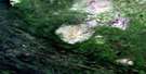
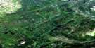
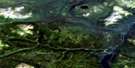
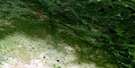
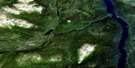
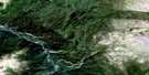
Little Dease Lake Surrounding Area Aerial Photo Maps
 |
 |
 |
 |
 |
 |
 |
 |
 |
 |
 |
 |
 |
 |
 |
 |
© Department of Natural Resources Canada. All rights reserved.
Little Dease Lake Gazetteer
The following places can be found on satellite image map 104J09 Little Dease Lake:
Little Dease Lake Satellite Image: Capes
Nine Mile PointLittle Dease Lake Satellite Image: Islands
Gull IsletLittle Dease Lake Satellite Image: Lakes
Dease LakeKillarney Lake
Little Dease Lake
Little Dease Lake Satellite Image: Mountains
Cassiar MountainsFrench Range
Johnson Knolls
Mount McLeod
Mount Sullivan
Mount Todd
Little Dease Lake Satellite Image: Plains
Stikine PlateauTanzilla Plateau
Little Dease Lake Satellite Image: Rivers
Argillite CreekBerry Creek
Dease Creek
Delure Creek
Five Creek
Four Mile Creek
Halfmoon Creek
Killarney Creek
Little Dease Creek
Quartz Creek
Serpentine Creek
Slate Creek
Tatsho Creek
Little Dease Lake Satellite Image: Unincorporated areas
Dease LakeLaketon
Little Dease Lake Satellite Image: Valleys
Buck GulchLyons Gulch
© Department of Natural Resources Canada. All rights reserved.
104J Related Maps:
104J Dease Lake104J01E Stikine Canyon
104J01W Stikine Canyon
104J02E Classy Creek
104J02W Classy Creek
104J03E Tahltan River
104J03W Tahltan River
104J04E Kennicott Lake
104J04W Kennicott Lake
104J05E Ketchum Lake
104J05W Ketchum Lake
104J06 Beatty Creek
104J07 Little Tuya River
104J08 Dease Lake
104J09E Little Dease Lake
104J09W Little Dease Lake
104J10 Tachilta Lakes
104J11 Granite Lake
104J12E Dudidontu River
104J12W Dudidontu River
104J13E Prairie Lake
104J13W Prairie Lake
104J14 Kawdy Creek
104J15 Calata Lake
104J16 Porter Landing
