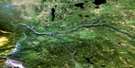
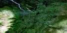
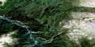
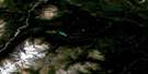
Porter Landing Satellite Image Map
Download Free Aerial Photo 104J16 at 1:50,000 scale
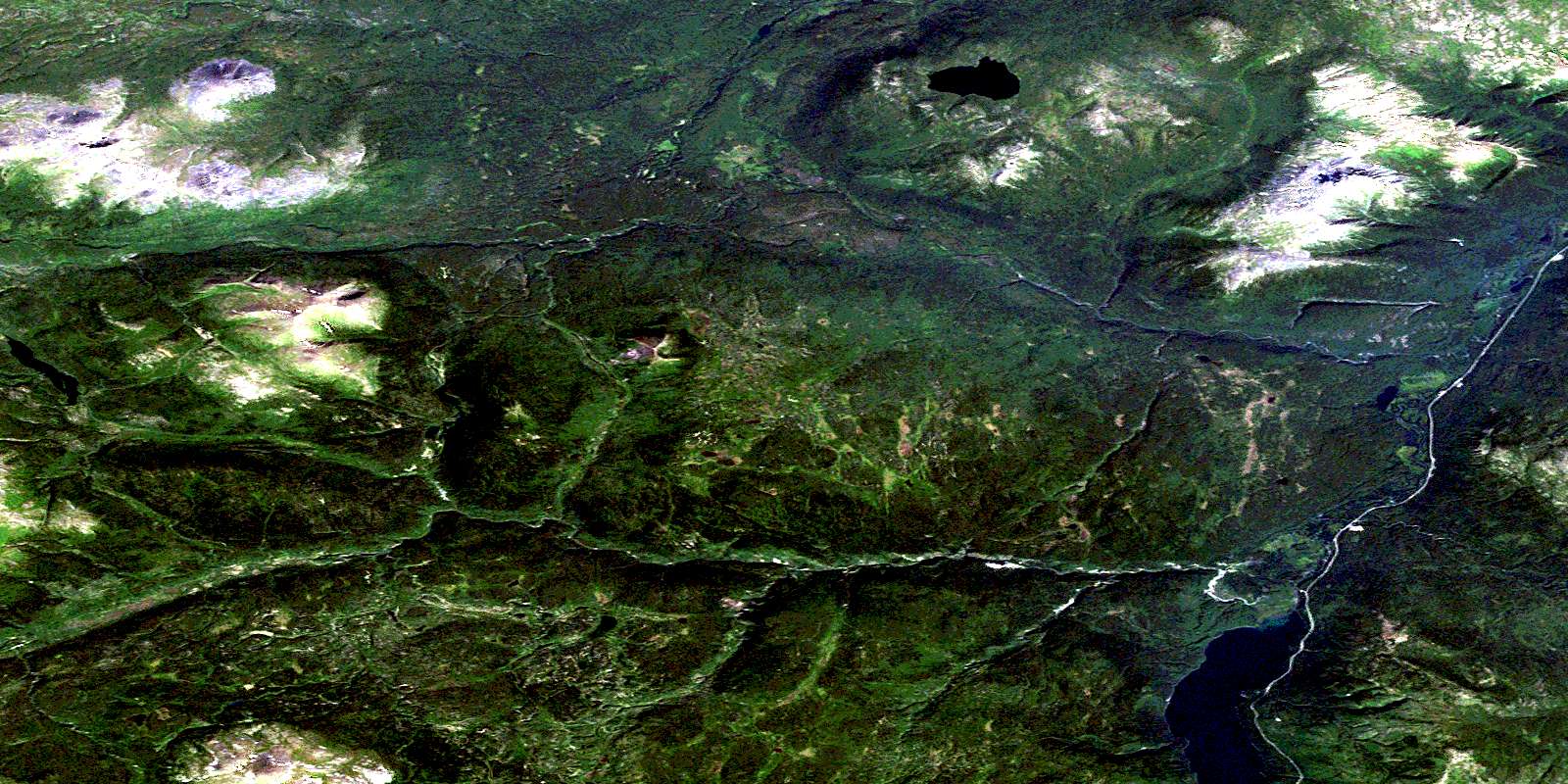
Porter Landing Satellite Imagery
To view this satellite map, mouse over the air photo on the right.
You can also download this satellite image map for free:
104J16 Porter Landing high-resolution satellite image map.
Maps for the Porter Landing aerial map sheet 104J16 at 1:50,000 scale are also available in these versions:
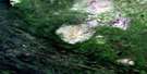
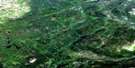
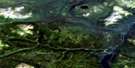
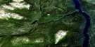
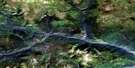
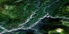
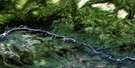
Porter Landing Surrounding Area Aerial Photo Maps
 |
 |
 |
 |
 |
 |
 |
 |
 |
 |
 |
 |
 |
 |
 |
 |
© Department of Natural Resources Canada. All rights reserved.
Porter Landing Gazetteer
The following places can be found on satellite image map 104J16 Porter Landing:
Porter Landing Satellite Image: Capes
Sawmill PointSteamboat Point
Porter Landing Satellite Image: Indian Reserves
One Mile Point Indian Reserve 1Réserve indienne One Mile Point 1
Porter Landing Satellite Image: Lakes
Adsit LakeBend Lake
Hankin Lake
Hunters Lake
Martin Lake
Porcupine Lake
Portage Lake
Porter Landing Satellite Image: Mountains
Beady RangeCassiar Mountains
French Range
Mount Coulahan
Mount Defot
Mount Rath
Northwest Mountain
Porter Landing Mountain
Red Ledge Mountain
Slough Mountain
Stake Mountain
Vowel Mountain
Porter Landing Satellite Image: Plains
Stikine PlateauPorter Landing Satellite Image: Rivers
Adsit CreekBeady Creek
Beaver Creek
Berry Creek
Boulder Creek
Bull Creek
California Creek
Canyon Creek
Coulahan Creek
Dease River
Deep Gulch
Defot Creek
Delure Creek
Goathorn Creek
Gold Creek
Grizzly Bear Creek
Hankin Creek
Mosquito Creek
North Creek
Old Bell Creek
Packer Tom Creek
Porcupine Creek
Quartz Creek
Rath Creek
Rose Creek
Seywerd Creek
Spring Creek
Swamp Creek
Thibert Creek
Vowel Creek
Porter Landing Satellite Image: Unincorporated areas
Dease LakeDefot
Porter Landing
Porter Landing Satellite Image: Valleys
Bear GulchFive Mile Gulch
© Department of Natural Resources Canada. All rights reserved.
104J Related Maps:
104J Dease Lake104J01E Stikine Canyon
104J01W Stikine Canyon
104J02E Classy Creek
104J02W Classy Creek
104J03E Tahltan River
104J03W Tahltan River
104J04E Kennicott Lake
104J04W Kennicott Lake
104J05E Ketchum Lake
104J05W Ketchum Lake
104J06 Beatty Creek
104J07 Little Tuya River
104J08 Dease Lake
104J09E Little Dease Lake
104J09W Little Dease Lake
104J10 Tachilta Lakes
104J11 Granite Lake
104J12E Dudidontu River
104J12W Dudidontu River
104J13E Prairie Lake
104J13W Prairie Lake
104J14 Kawdy Creek
104J15 Calata Lake
104J16 Porter Landing
