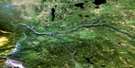
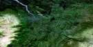
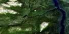
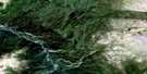
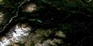
Tahltan River Satellite Image Map
Download Free Aerial Photo 104J03 at 1:50,000 scale
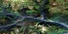
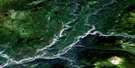
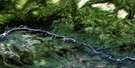
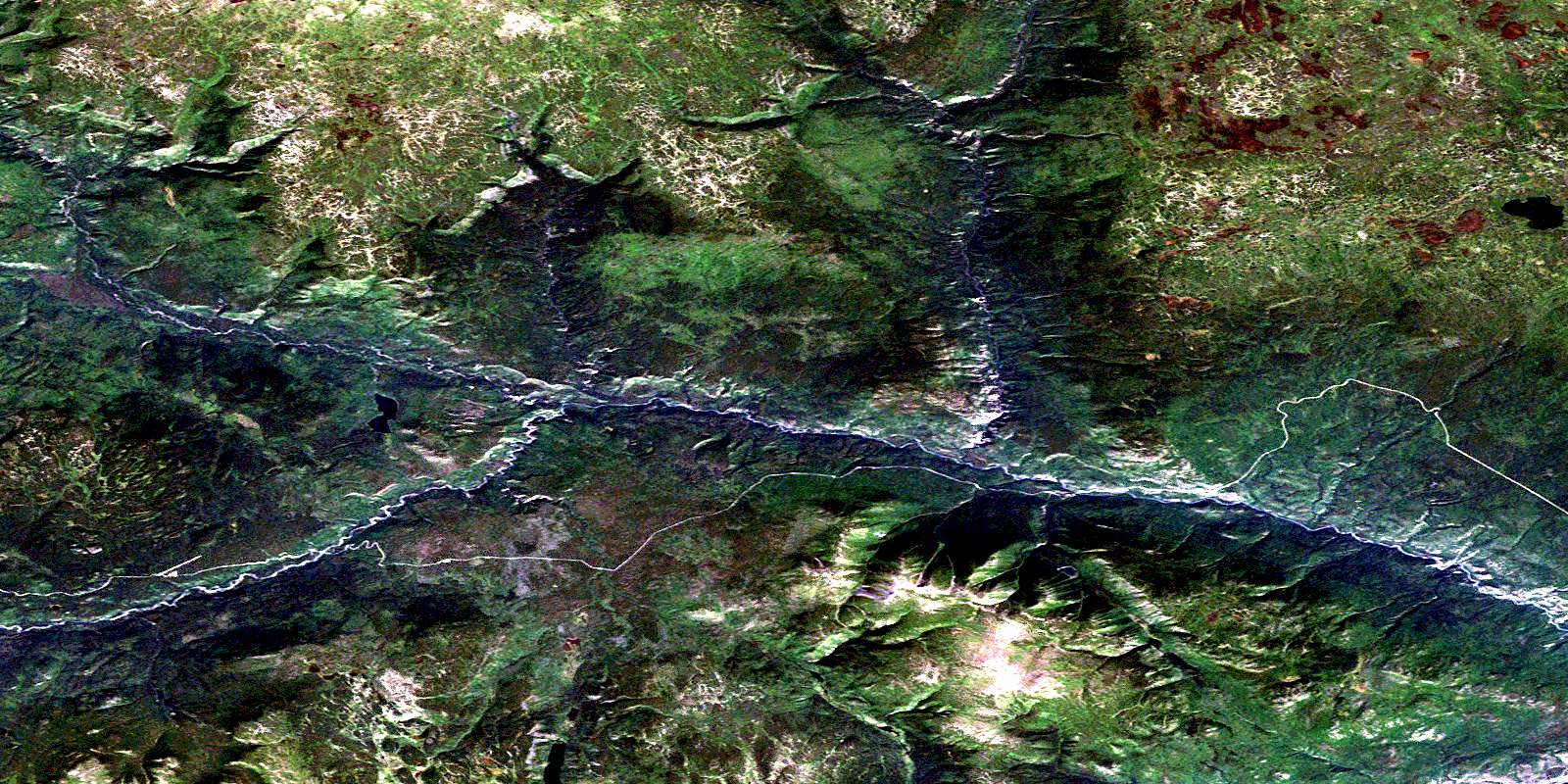
Tahltan River Satellite Imagery
To view this satellite map, mouse over the air photo on the right.
You can also download this satellite image map for free:
104J03 Tahltan River high-resolution satellite image map.
Maps for the Tahltan River aerial map sheet 104J03 at 1:50,000 scale are also available in these versions:
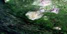
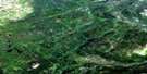
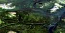
Tahltan River Surrounding Area Aerial Photo Maps
 |
 |
 |
 |
 |
 |
 |
 |
 |
 |
 |
 |
 |
 |
 |
 |
© Department of Natural Resources Canada. All rights reserved.
Tahltan River Gazetteer
The following places can be found on satellite image map 104J03 Tahltan River:
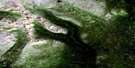
Tahltan River Satellite Image: Indian Reserves
Réserve indienne Tahltan 1Réserve indienne Tahltan Forks 5
Réserve indienne Upper Tahltan 4
Tahltan Forks Indian Reserve 5
Tahltan Indian Reserve 1
Upper Tahltan Indian Reserve 4
Tahltan River Satellite Image: Lakes
Palgrave LakeSaloon Lake
Summit Lakes
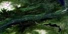
Tahltan River Satellite Image: Mountains
Level Mountain RangeTahltan River Satellite Image: Conservation areas
Stikine River Recreation AreaTahltan River Satellite Image: Plains
Nahlin PlateauStikine Plateau
Tahltan River Satellite Image: Rivers
Bear CreekBeatty Creek
Eight Mile Creek
Little Tahltan River
Mansfield Creek
Middle Creek
Newell Creek
Nine Mile Creek
Palgrave Creek
Riley Creek
Saloon Creek
Seven Mile Creek
Tahltan River
Telegraph Creek
Tutesheta Creek
Tahltan River Satellite Image: Unincorporated areas
Hyland RanchSaloon
© Department of Natural Resources Canada. All rights reserved.
104J Related Maps:
104J Dease Lake104J01E Stikine Canyon
104J01W Stikine Canyon
104J02E Classy Creek
104J02W Classy Creek
104J03E Tahltan River
104J03W Tahltan River
104J04E Kennicott Lake
104J04W Kennicott Lake
104J05E Ketchum Lake
104J05W Ketchum Lake
104J06 Beatty Creek
104J07 Little Tuya River
104J08 Dease Lake
104J09E Little Dease Lake
104J09W Little Dease Lake
104J10 Tachilta Lakes
104J11 Granite Lake
104J12E Dudidontu River
104J12W Dudidontu River
104J13E Prairie Lake
104J13W Prairie Lake
104J14 Kawdy Creek
104J15 Calata Lake
104J16 Porter Landing
