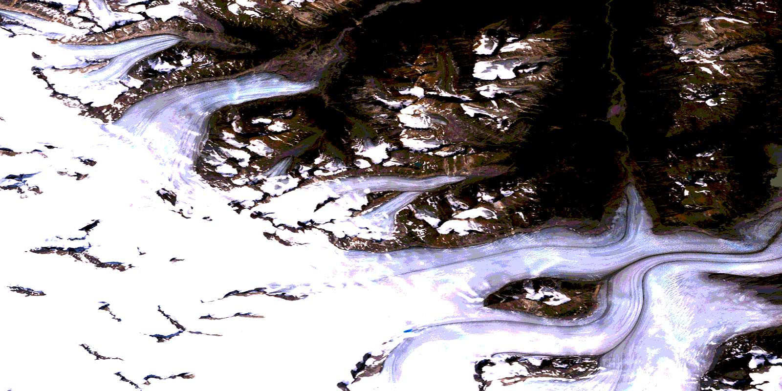
Mount Caplice Satellite Image Map
Download Free Aerial Photo 104M01 at 1:50,000 scale
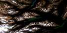
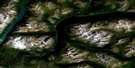
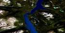
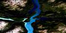
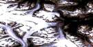
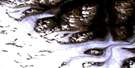
Mount Caplice Satellite Imagery
To view this satellite map, mouse over the air photo on the right.
You can also download this satellite image map for free:
104M01 Mount Caplice high-resolution satellite image map.
Maps for the Mount Caplice aerial map sheet 104M01 at 1:50,000 scale are also available in these versions:
Mount Caplice Surrounding Area Aerial Photo Maps
 |
 |
 |
 |
 |
 |
 |
 |
 |
 |
 |
|
 |
 |
© Department of Natural Resources Canada. All rights reserved.
Mount Caplice Gazetteer
The following places can be found on satellite image map 104M01 Mount Caplice:
Mount Caplice Satellite Image: Bays
Willison BayMount Caplice Satellite Image: Glaciers
Llewellyn GlacierWillison Glacier
Mount Caplice Satellite Image: Lakes
Atlin LakeMount Caplice Satellite Image: Mountains
Bicorn PeakBoundary Ranges
Chaîne Côtière
Coast Mountains
Mount Caplice
Mount London
Mount Mussen
Mount Poletica
Mount Service
Mount Steacie
Sparrow Peak
Mount Caplice Satellite Image: Conservation areas
Atlin ParkAtlin Recreation Area
Mount Caplice Satellite Image: Rivers
Hoboe CreekWillison Creek
© Department of Natural Resources Canada. All rights reserved.
