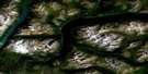
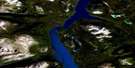
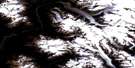
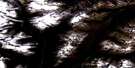
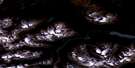
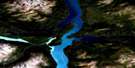
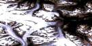
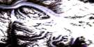
Tutshi Lake Satellite Image Map
Download Free Aerial Photo 104M15 at 1:50,000 scale
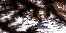
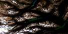
Tutshi Lake Satellite Imagery
To view this satellite map, mouse over the air photo on the right.
You can also download this satellite image map for free:
104M15 Tutshi Lake high-resolution satellite image map.
Maps for the Tutshi Lake aerial map sheet 104M15 at 1:50,000 scale are also available in these versions:
Tutshi Lake Surrounding Area Aerial Photo Maps
 |
 |
 |
 |
 |
 |
 |
 |
 |
 |
 |
|
 |
 |
© Department of Natural Resources Canada. All rights reserved.
Tutshi Lake Gazetteer
The following places can be found on satellite image map 104M15 Tutshi Lake:
Tutshi Lake Satellite Image: Bays
Windy ArmTutshi Lake Satellite Image: Capes
Dennis PointGuard Rail Point
Tutshi Lake Satellite Image: Lakes
Bennett LakeMaud Lake
Moon Lake
Old Lady Lake
Racine Lake
Skelly Lake
Tagish Lake
Tutshi Lake
Willow Lake
Tutshi Lake Satellite Image: Mountains
Bennett RangeBoundary Ranges
Chaîne Côtière
Coast Mountains
Jack Peak
Mount Conrad
Mount Patterson
Mount Racine
Tagish Highland
White Range
Tutshi Lake Satellite Image: Conservation areas
Chilkoot Trail National Historic Site of CanadaLieu historique national du Canada de la Piste-Chilkoot
Tutshi Lake Satellite Image: Rivers
Racine CreekRacine Creek
Tutshi River
Wynton Creek
Tutshi Lake Satellite Image: Unincorporated areas
BennettLog Cabin
Pavey
Pennington
Wynton
Tutshi Lake Satellite Image: Valleys
Paddy Pass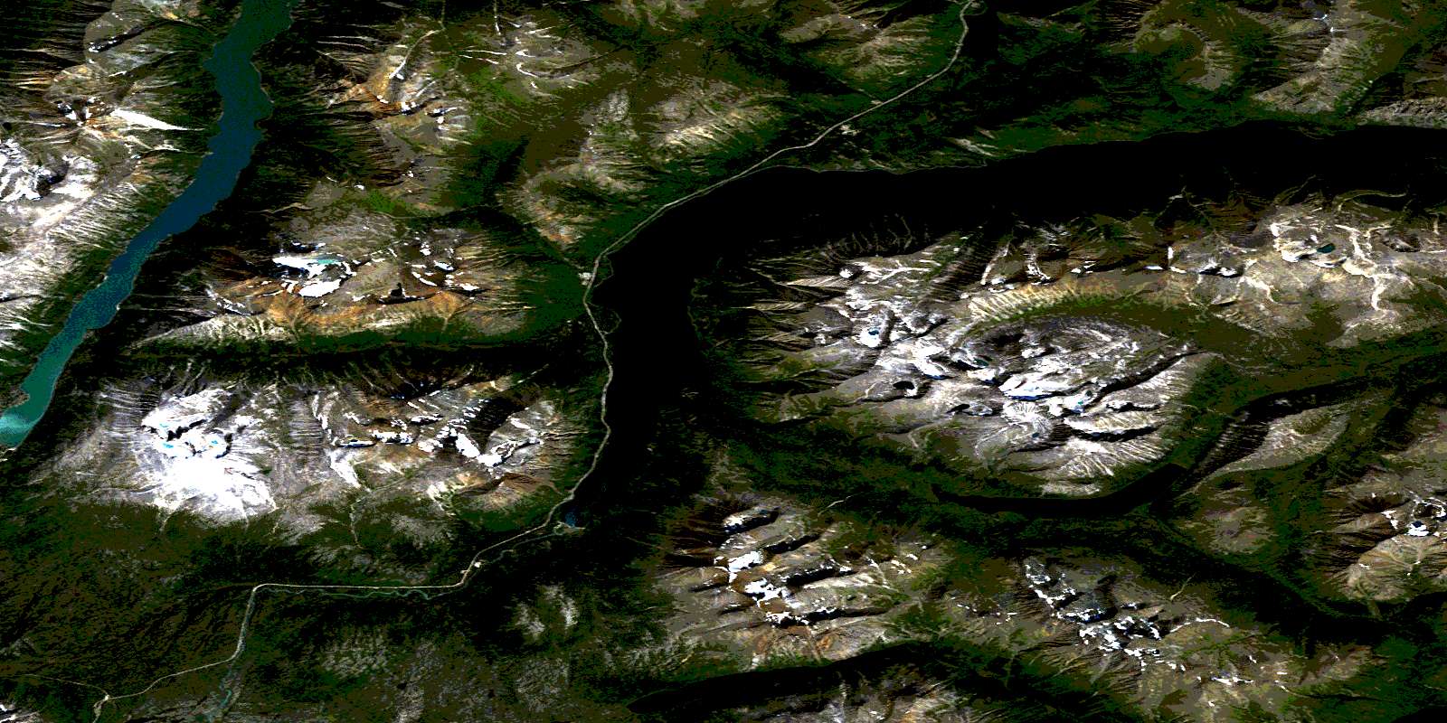
© Department of Natural Resources Canada. All rights reserved.
