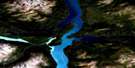
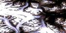
Turtle Lake Satellite Image Map
Download Free Aerial Photo 104M16 at 1:50,000 scale
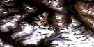
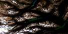
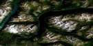
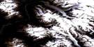
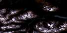
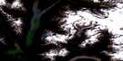
Turtle Lake Satellite Imagery
To view this satellite map, mouse over the air photo on the right.
You can also download this satellite image map for free:
104M16 Turtle Lake high-resolution satellite image map.
Maps for the Turtle Lake aerial map sheet 104M16 at 1:50,000 scale are also available in these versions:
Turtle Lake Surrounding Area Aerial Photo Maps
 |
 |
 |
 |
 |
 |
 |
 |
 |
 |
 |
|
 |
 |
© Department of Natural Resources Canada. All rights reserved.
Turtle Lake Gazetteer
The following places can be found on satellite image map 104M16 Turtle Lake:
Turtle Lake Satellite Image: Bays
Taku ArmTalaha Bay
Turtle Lake Satellite Image: Capes
Potter PointTurtle Lake Satellite Image: Falls
Racine FallsTurtle Lake Satellite Image: Islands
Tutshi IslandTurtle Lake Satellite Image: Lakes
Jones LakeRacine Lake
Tagish Lake
Turtle Lake
Tutshi Lake
Turtle Lake Satellite Image: Mountains
Charlie PeakCloutier Peak
Mount Armstrong
Mount Brown
Mount Lanning
Mount Morin
Mount Richards
Peninsula Mountain
Stovel Peak
Tagish Highland
White Range
Turtle Lake Satellite Image: Plains
Teslin PlateauTurtle Lake Satellite Image: Rivers
Racine CreekShaker Creek
Tutshi River
Turtle Lake Satellite Image: Unincorporated areas
Tutshi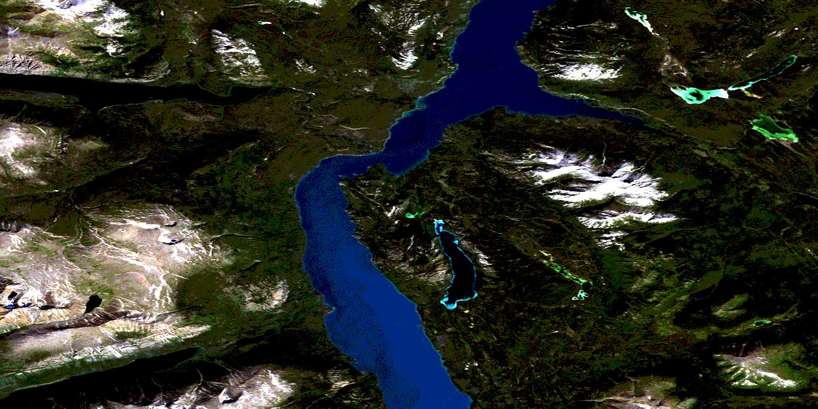
© Department of Natural Resources Canada. All rights reserved.
