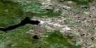
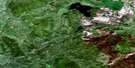
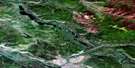
Dromedary Mountain Satellite Image Map
Download Free Aerial Photo 105L15 at 1:50,000 scale
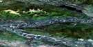
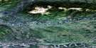
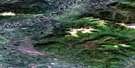
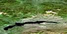
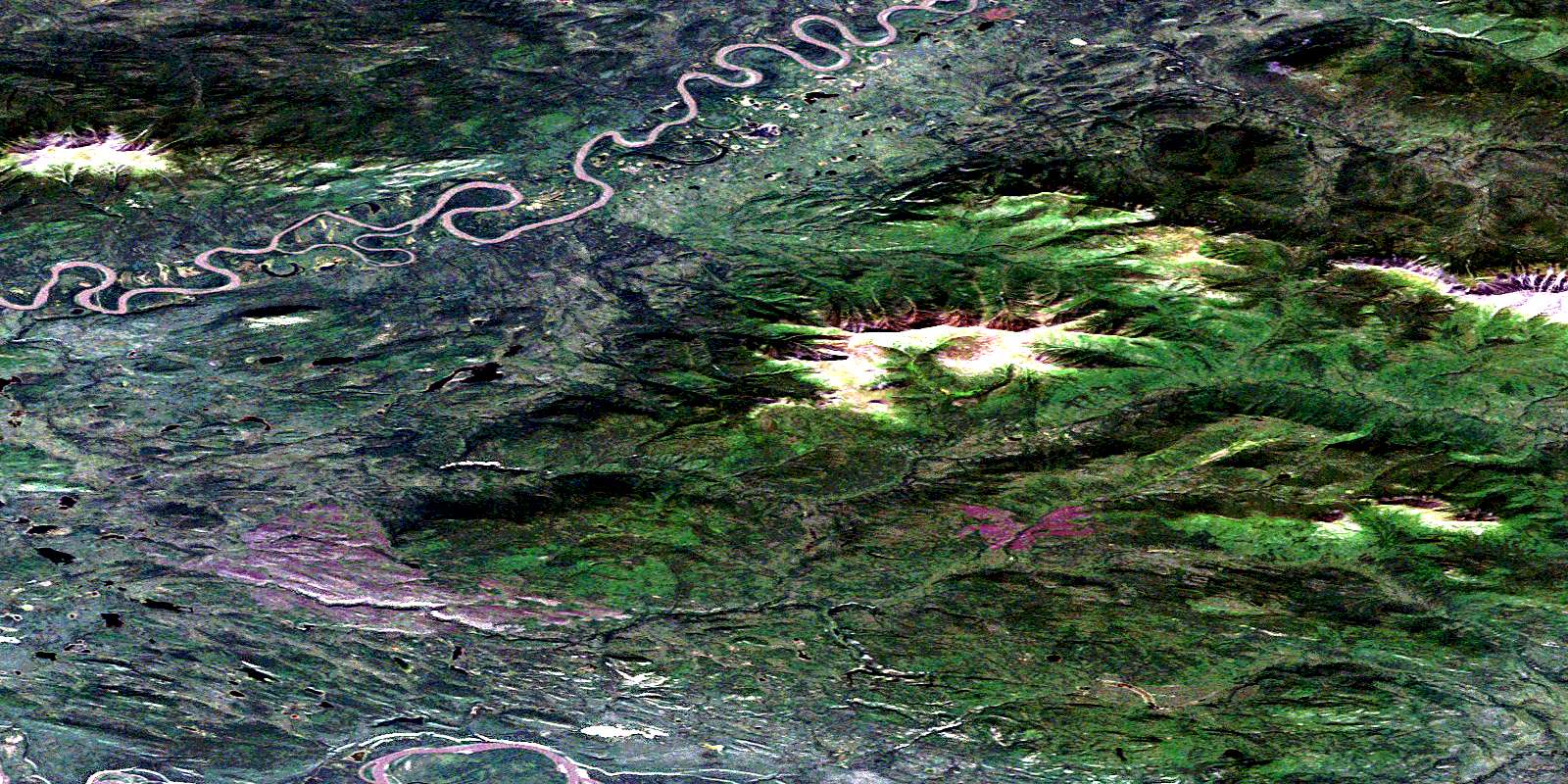
Dromedary Mountain Satellite Imagery
To view this satellite map, mouse over the air photo on the right.
You can also download this satellite image map for free:
105L15 Dromedary Mountain high-resolution satellite image map.
Maps for the Dromedary Mountain aerial map sheet 105L15 at 1:50,000 scale are also available in these versions:
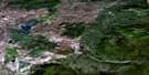
Dromedary Mountain Surrounding Area Aerial Photo Maps
 |
 |
 |
 |
 |
 |
 |
 |
 |
 |
 |
 |
 |
 |
 |
 |
© Department of Natural Resources Canada. All rights reserved.
Dromedary Mountain Gazetteer
The following places can be found on satellite image map 105L15 Dromedary Mountain:
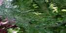
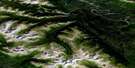
Dromedary Mountain Satellite Image: Mountains
Crystal PeakDromedary Mountain
Kalzas Range
Lone Mountain
Wilkinson Range
Dromedary Mountain Satellite Image: Plains
Yukon PlateauDromedary Mountain Satellite Image: Rivers
Clarke CreekCrystal Creek
Dromedary Creek
Duo Creek
Earn River
Georges Creek
Horsfall Creek
Hosfall Creek
Macmillan River
Moose River
Pelly River
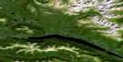
Dromedary Mountain Satellite Image: River features
The DetourDromedary Mountain Satellite Image: Territory
Territoire du YukonYukon
Yukon Territory
Dromedary Mountain Satellite Image: Valleys
Tintina TrenchTummel Basin
© Department of Natural Resources Canada. All rights reserved.
105L Related Maps:
105L Glenlyon105L01 Truitt Creek
105L02 Snowcap Mountain
105L03 Little Salmon River
105L04 Frenchman Lake
105L05 Tadru Lake
105L06 Afe Peak
105L07 Drury Lake
105L08 Glenlyon Lake
105L09 Menzie Creek
105L10 Detour Lakes
105L11 Ragged Lake
105L12 Tatlmain Lake
105L13 Little Kalzas Lake
105L14 Safety Pin Bend
105L15 Dromedary Mountain
105L16 Earn Lake
