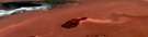
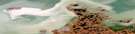
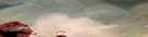
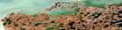
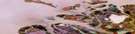
Hutchison Bay Satellite Image Map
Download Free Aerial Photo 107C09 at 1:50,000 scale
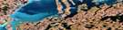
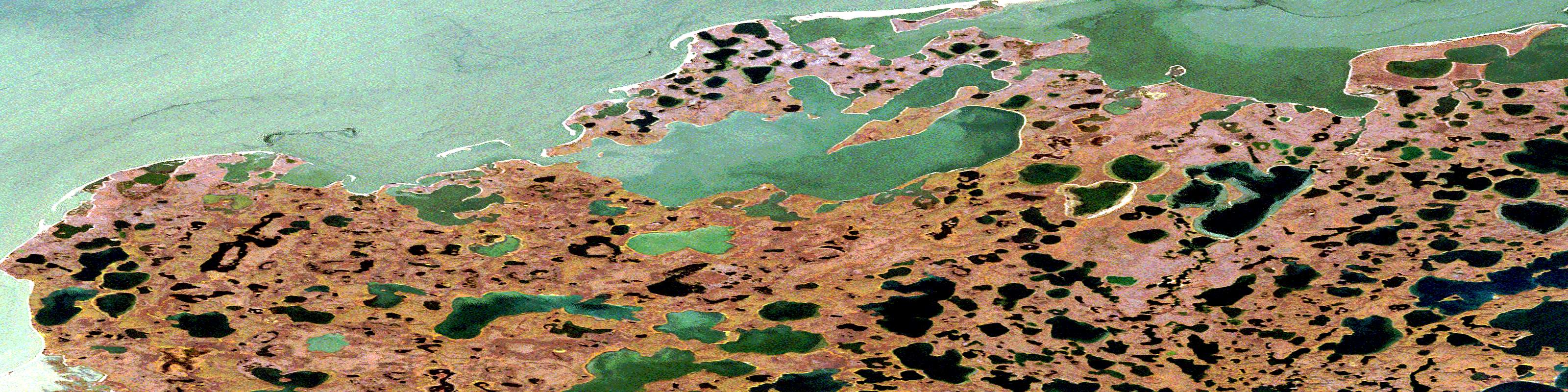
Hutchison Bay Satellite Imagery
To view this satellite map, mouse over the air photo on the right.
You can also download this satellite image map for free:
107C09 Hutchison Bay high-resolution satellite image map.
Maps for the Hutchison Bay aerial map sheet 107C09 at 1:50,000 scale are also available in these versions:
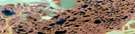
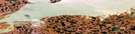
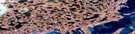
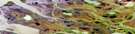
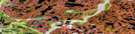
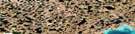
Hutchison Bay Surrounding Area Aerial Photo Maps
 |
 |
 |
 |
 |
 |
 |
 |
 |
 |
 |
 |
© Department of Natural Resources Canada. All rights reserved.
Hutchison Bay Gazetteer
The following places can be found on satellite image map 107C09 Hutchison Bay:
Hutchison Bay Satellite Image: Bays
Hutchison BayKugmallit Bay
Kukjuktuk Bay
Paaraluk Bay
Tininerk Bay
Hutchison Bay Satellite Image: Capes
Mingnuk PointNiutungiak Peninsula
Sakvalunat Point
Tibjak Point
Toker Point
Topkak Point
Tuft Point
Tuktoyaktuk Peninsula
Hutchison Bay Satellite Image: Islands
Summer IslandHutchison Bay Satellite Image: Lakes
Angmalatuk LakeEskimo Lakes
Itkrilek Lake
Kukjukturijak Lake
Lake Pingo
Tassiriuk Lake
Tininjak Lake
Williams Lake
Hutchison Bay Satellite Image: Mountains
North PeakShore Pingo
Stick Pingo
Toker Pingo
Triple Pingo
Hutchison Bay Satellite Image: Rivers
Kukjuktuk CreekHutchison Bay Satellite Image: Seas
Beaufort SeaMer de Beaufort
Hutchison Bay Satellite Image: Shoals
James ShoalHutchison Bay Satellite Image: Territory
Northwest TerritoriesTerritoires du Nord-Ouest
© Department of Natural Resources Canada. All rights reserved.
107C Related Maps:
107C Mackenzie Delta107C01E No Title
107C01W No Title
107C02E No Title
107C02W No Title
107C03E Tununuk
107C03W Tununuk
107C04E Ellice Island
107C04W Ellice Island
107C05E Garry Island
107C05W Garry Island
107C06E Denis High Hill
107C06W Denis High Hill
107C07E Kittigazuit
107C07W Kittigazuit
107C08E No Title
107C08W No Title
107C09E Hutchison Bay
107C09W Hutchison Bay
107C10W Kidluit Bay
107C11E Hansen Harbour
107C11W Hooper Island
107C12E Pelly Island
107C12W Pelly Island
