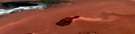
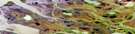
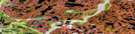
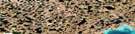
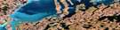
Denis High Hill Satellite Image Map
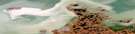
Download Free Aerial Photo 107C06 at 1:50,000 scale
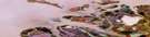
Denis High Hill Satellite Imagery
To view this satellite map, mouse over the air photo on the right.
You can also download this satellite image map for free:
107C06 Denis High Hill high-resolution satellite image map.
Maps for the Denis High Hill aerial map sheet 107C06 at 1:50,000 scale are also available in these versions:
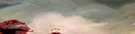
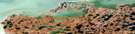
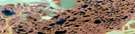
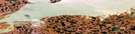
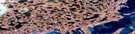
Denis High Hill Surrounding Area Aerial Photo Maps
 |
 |
 |
 |
 |
 |
 |
 |
 |
 |
 |
 |
© Department of Natural Resources Canada. All rights reserved.
Denis High Hill Gazetteer
The following places can be found on satellite image map 107C06 Denis High Hill:
Denis High Hill Satellite Image: Bays
Beluga BayMackenzie Bay
Denis High Hill Satellite Image: Capes
Big Horn PointMackenzie Delta
West Point
Denis High Hill Satellite Image: Channels
East ChannelHarry Channel
Swan Channel
Denis High Hill Satellite Image: Islands
Niglintgak IslandRichards Island
Seal Island
Taglu Island
Denis High Hill Satellite Image: Lakes
Crooked LakeDenis Lagoon
Denis Lake
Grassy Lake
Mid Lake
Pullen Lake
Umiak Lake
Willow Lake
Denis High Hill Satellite Image: Mountains
Denis High HillDenis Pingo
Trapp Hills
Denis High Hill Satellite Image: Conservation areas
Refuge d'oiseaux de l'Île-KendallDenis High Hill Satellite Image: Rivers
Cabin CreekFleuve Mackenzie
Mackenzie River
Yaya River
Denis High Hill Satellite Image: Seas
Beaufort SeaMer de Beaufort
Denis High Hill Satellite Image: Territory
Northwest TerritoriesTerritoires du Nord-Ouest
Denis High Hill Satellite Image: Unincorporated areas
Camp Farewell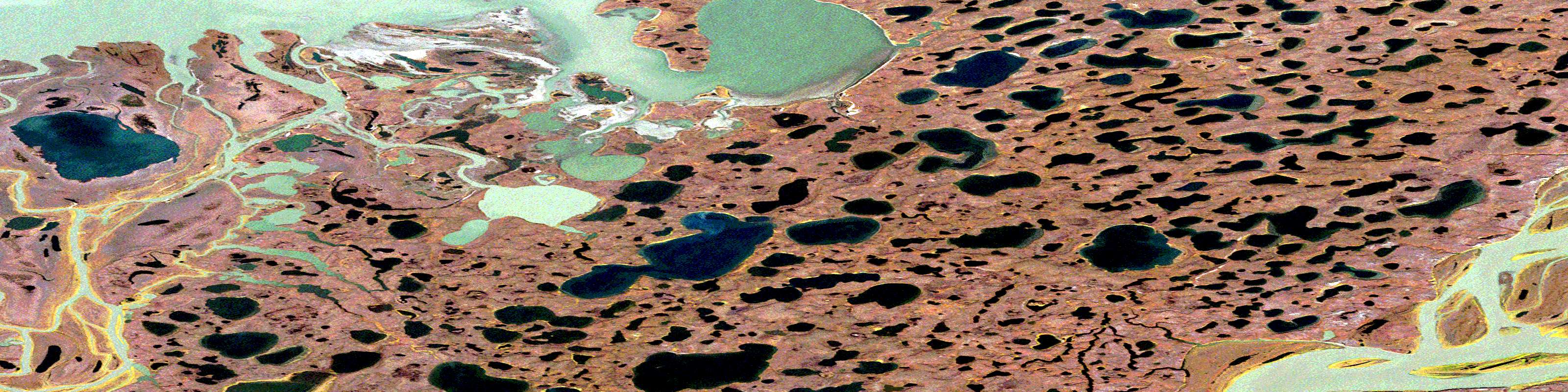
© Department of Natural Resources Canada. All rights reserved.
107C Related Maps:
107C Mackenzie Delta107C01E No Title
107C01W No Title
107C02E No Title
107C02W No Title
107C03E Tununuk
107C03W Tununuk
107C04E Ellice Island
107C04W Ellice Island
107C05E Garry Island
107C05W Garry Island
107C06E Denis High Hill
107C06W Denis High Hill
107C07E Kittigazuit
107C07W Kittigazuit
107C08E No Title
107C08W No Title
107C09E Hutchison Bay
107C09W Hutchison Bay
107C10W Kidluit Bay
107C11E Hansen Harbour
107C11W Hooper Island
107C12E Pelly Island
107C12W Pelly Island
