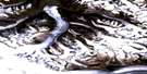
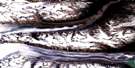
Ulu Mountain Satellite Image Map
Download Free Aerial Photo 115B02 at 1:50,000 scale
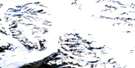
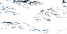
Ulu Mountain Satellite Imagery
To view this satellite map, mouse over the air photo on the right.
You can also download this satellite image map for free:
115B02 Ulu Mountain high-resolution satellite image map.
Maps for the Ulu Mountain aerial map sheet 115B02 at 1:50,000 scale are also available in these versions:
Ulu Mountain Surrounding Area Aerial Photo Maps
 |
 |
 |
 |
 |
 |
 |
 |
 |
 |
 |
 |
 |
 |
 |
© Department of Natural Resources Canada. All rights reserved.
Ulu Mountain Gazetteer
The following places can be found on satellite image map 115B02 Ulu Mountain:
Ulu Mountain Satellite Image: Geographical areas
Cassiar Land DistrictUlu Mountain Satellite Image: Glaciers
Art Lewis GlacierArtlewis Glacier
Cathedral Glacier
FisherGlacier
Hubbard Glacier
Lowell Glacier
South Lowell Glacier
Tweedsmuir Glacier
Ulu Mountain Satellite Image: Mountains
Icefield RangesSt. Elias Mountains
Ulu Mountain
Ulu Mountain Satellite Image: Conservation areas
Kluane National Park and Reserve of CanadaKluane/Wrangell-St. Elias/Glacier Bay/Tatshenshini-Alsek World Heritage Site
Parc national et réserve de parc national du Canada Kluane
Site du patrimoine mondial Kluane/Wrangell-St. Elias/Glacier Bay/Tatshenshini-Alsek
Ulu Mountain Satellite Image: Territory
Yukon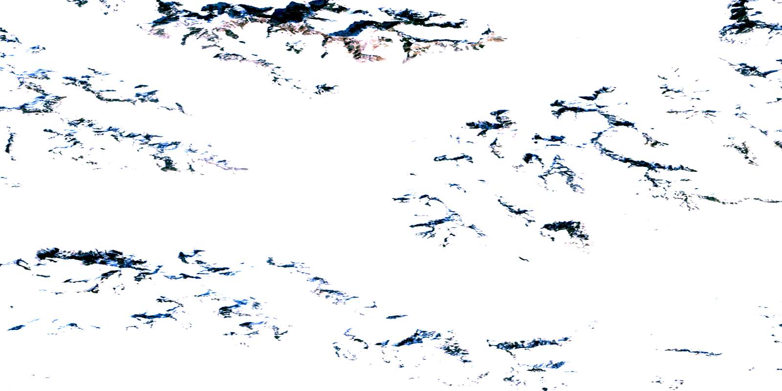
© Department of Natural Resources Canada. All rights reserved.
115B Related Maps:
115B Mount St Elias115B01 No Title
115B02 Ulu Mountain
115B03 Mount Seattle
115B05 Mount Vancouver
115B06 Mount Alverstone
115B07 Mount Kennedy
115B08 Felsite Glacier
115B09 Airdrop Lake
115B10 Mount Leacock
115B11 No Title
115B12 Mount Queen Mary
115B13 Mount Badham
115B14 Kluane Glacier
115B15 Slims River
115B16 Jarvis River
