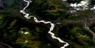
Burwash Landing Satellite Image Map
Download Free Aerial Photo 115G07 at 1:50,000 scale
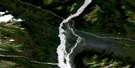
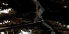
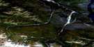
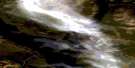
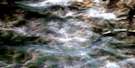
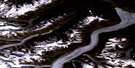
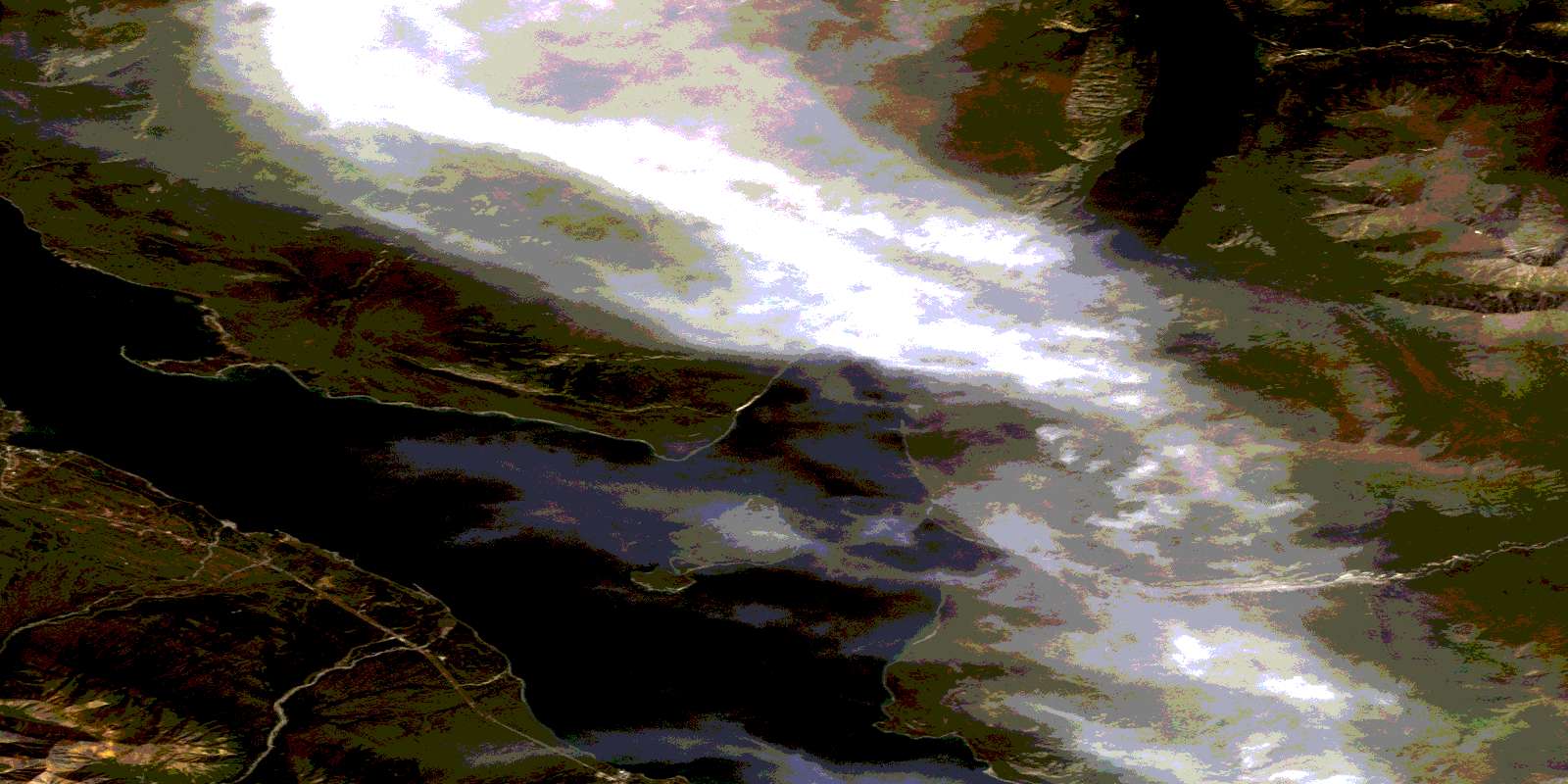
Burwash Landing Satellite Imagery
To view this satellite map, mouse over the air photo on the right.
You can also download this satellite image map for free:
115G07 Burwash Landing high-resolution satellite image map.
Maps for the Burwash Landing aerial map sheet 115G07 at 1:50,000 scale are also available in these versions:
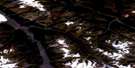
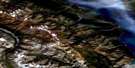
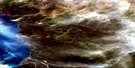
Burwash Landing Surrounding Area Aerial Photo Maps
 |
 |
 |
 |
 |
 |
 |
 |
 |
 |
 |
 |
 |
 |
 |
 |
© Department of Natural Resources Canada. All rights reserved.
Burwash Landing Gazetteer
The following places can be found on satellite image map 115G07 Burwash Landing:
Burwash Landing Satellite Image: Bays
Brooks ArmGranite Bay
Talbot Arm
Burwash Landing Satellite Image: Capes
Doghead PointLong Point
Sandspit Point
Striation Point
Burwash Landing Satellite Image: Islands
Jacquot IslandBurwash Landing Satellite Image: Lakes
Kluane LakeBurwash Landing Satellite Image: Mountains
Kluane RangesRuby Range
St. Elias Mountains
Burwash Landing Satellite Image: Plains
Kluane PlateauYukon Plateau
Burwash Landing Satellite Image: Rivers
Cluett CreekCoon Creek
Copper Joe Creek
Cyr Creek
Gladstone Creek
Gracie Creek
Halfbreed Creek
Klewitt Creek
Lewis Creek
Raft Creek
Burwash Landing Satellite Image: Unincorporated areas
Burwash LandingDestruction Bay
Burwash Landing Satellite Image: Valleys
Shakwak TrenchShakwak Valley
© Department of Natural Resources Canada. All rights reserved.
115G Related Maps:
115G Kluane Lake115G01 Cultus Creek
115G02 Congdon Creek
115G03 Bighorn Creek
115G04 Donjek Glacier
115G05 Steele Creek
115G06 Duke River
115G07 Burwash Landing
115G08 Gladstone Creek
115G09 Talbot Creek
115G10 Serpenthead Lake
115G11 Nuntaea Creek
115G12 Lynx Creek
115G13 Tom Murray Creek
115G14 Toshingermann Lakes
115G15 Kiyera Lake
115G16 Rhyolite Creek
