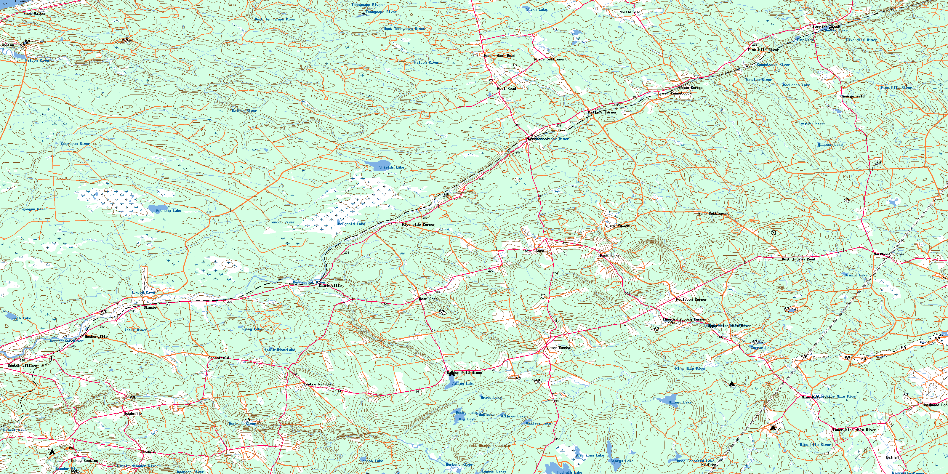
Kennetcook Topo Map Online
Download Free Topo Map Sheet 011E04 at 1:50,000 scale
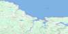
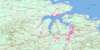
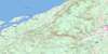
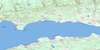
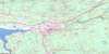
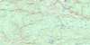
011E04 Kennetcook Topo Map
To view this map, mouse over the map preview on the right.
You can also download this topo map for free:
011E04 Kennetcook high-resolution topo map image.
Maps for the Kennetcook topo map sheet 011E04 at 1:50,000 scale are also available in these versions:
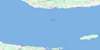
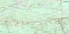
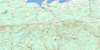
Kennetcook Surrounding Area Topo Maps
 |
 |
 |
 |
 |
 |
 |
 |
 |
 |
 |
 |
 |
 |
 |
 |
© Department of Natural Resources Canada. All rights reserved.
Kennetcook Gazetteer
The following places can be found on topographic map sheet 011E04 Kennetcook:
Kennetcook Topo Map: Bays
Minas BasinKennetcook Topo Map: Geographical areas
HantsKennetcook Topo Map: Indian Reserves
Indian Brook 14Shubenacadie Indian Reserve 14
Kennetcook Topo Map: Lakes
Allen LakeAllens Lake
Allison Lake
Anthony Lake
Big Lake
Blueberry Lakes
Brazil Lake
Burton Lake
Butler Lake
Carrigan Lake
Cayley Lake
Fentons Lake
Grays Lake
Hines Lake
Ingram Lake
Lagoon Lakes
Law Lake
Laws Lake
MacLaren Lake
Mason Lake
McCleave Lake
McDonald Lake
McGrath Lake
Porter Lake
Ray Lake
Rocky Lake
Sarah Jane Lake
Shaky Lake
Shields Lake
Smith Lake
Story Lake
Storys Lake
Three Cornered Lake
Toole Lake
Tooles Pond
Valley Lake
Wallace Lake
Withrow Lake
Kennetcook Topo Map: Mountains
Bull Meadow MountainCaptains Hill
Courthouse Hill
Oak Hill
Pinnacle Hill
Rawdon Hills
Kennetcook Topo Map: Major municipal/district area - major agglomerations
East HantsWest Hants
Kennetcook Topo Map: Conservation areas
Smileys Provincial ParkKennetcook Topo Map: Plains
Sandy DesertKennetcook Topo Map: Rapids
Long Lake RunKennetcook Topo Map: Rivers
Allison BrookBarr Brook
Bartletts Brook
Beaver Brook
Beaver Brook
Bills Brook
Bills Brook
Birch Brook
Blois Brook
Bull Meadow Brook
Bulmer Brook
Burns Brook
Capt. McPhee Brook
Captain McPhee Brook
Carrigan Brook
Cayley Brook
Clarke Brook
Cogmagun River
Cogmagun River
Cool Brook
Cox Brook
Ettinger Brook
Fisher Brook
Five Mile River
Fivemile River
Four Mile Brook
Glen Brook
Grant Brook
Grays Brook
Grumbley Brook
Gulf Brook
Hanna Brook
Haynes Brook
Hennigar Brook
Herbert River
Indian Brook
Kennetcook River
Lagoon Brook
Lake Brook
Lattie Brook
Latties Brook
Little Meander River
Little Nine Mile River
Little Ninemile River
Little River
Lively Brook
Long Lake Brook
McInnis Brook
McLean Brook
McLeod Brook
Meadow Brook
Meander River
Mill Brook
Miller Brook
Nine Mile River
Ninemile River
Nix Brook
Nolans Brook
North Branch Cogmagun River
North Brook
North Brook
Old Sandford Brook
O'Toole Brook
Philip Brook
Rawdon Brook
Red Brook
Rines Brook
Robinson Brook
Robinson Brook
Ross Brook
Salty Brook
Shaky Lake Brook
Simpson Brook
South Branch Cogmagun River
Sugarloaf Brook
Tennycape River
Tomcod River
Tracey Brook
Turples River
Uniacke Brook
Wallace Brook
Walton River
Weir Brook
West Tennycape River
Whale Brook
Whale Creek
White Horse Brook
Whittier Brook
Whittier Brook
Wilcox Brook
Kennetcook Topo Map: Springs
Murdock SpringsKennetcook Topo Map: Unincorporated areas
AshdaleBarr Settlement
Belnan
Burtons
Burton's
Centre Rawdon
Cheese Factory Corner
Clarksville
Doddridge
Dunns Corner
East Gore
East Walton
Five Mile River
Fivemile River
Georgefield
Gore
Gore
Grant Valley
Greenfield
Hardwood Lands
Hennigar
Kennetcook
Latties Brook
Lower Nine Mile River
MacPhees Corner
McKay Section
McPhee Corner
McPhees Corner
Micmac
Millers Corner
Mosherville
Nine Mile River
Noel Road
North Noel Road
Northfield
Rawdon
Rawdon Gold Mines
Renfrew
Riverside Corner
Roulston Corner
Scotch Village
Stanley
Upper Kennetcook
Upper Newport
Upper Nine Mile River
Upper Rawdon
Walton
West Gore
West Indian Road
White Settlement
Woodville
Kennetcook Topo Map: Low vegetation
Colin BogCox Bog
East Meadows
King Meadows
MacLean Meadow
McCulloch Meadow
McDonald Bog
Petite Bog
The Barrens
The Bog
Thompson Meadow
Walton Barrens
Weir Meadows
© Department of Natural Resources Canada. All rights reserved.
011E Related Maps:
011E Truro011E01 Liscomb
011E02 Upper Musquodoboit
011E03 Shubenacadie
011E04 Kennetcook
011E05 Bass River
011E06 Truro
011E07 Hopewell
011E08 Lochaber
011E09 Merigomish
011E10 New Glasgow
011E11 Tatamagouche
011E12 Oxford
011E13 Pugwash
011E14 Malagash
011E15 Pictou Island
011E16 Malignant Cove
