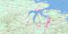
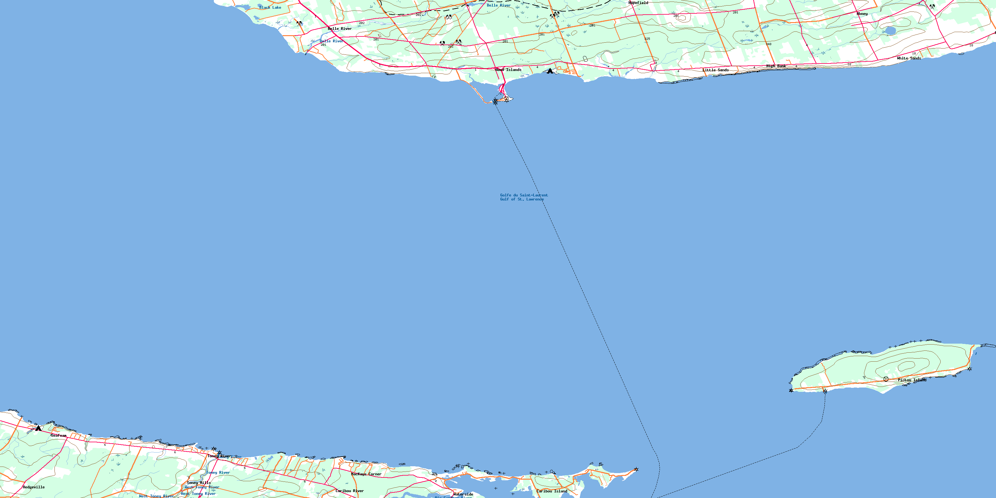
Pictou Island Topo Map Online
Download Free Topo Map Sheet 011E15 at 1:50,000 scale
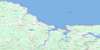
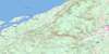
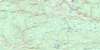
011E15 Pictou Island Topo Map
To view this map, mouse over the map preview on the right.
You can also download this topo map for free:
011E15 Pictou Island high-resolution topo map image.
Maps for the Pictou Island topo map sheet 011E15 at 1:50,000 scale are also available in these versions:
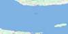
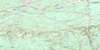
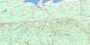
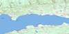
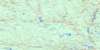
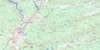
Pictou Island Surrounding Area Topo Maps
 |
 |
 |
 |
 |
 |
 |
 |
 |
 |
 |
 |
 |
 |
 |
 |
© Department of Natural Resources Canada. All rights reserved.
Pictou Island Gazetteer
The following places can be found on topographic map sheet 011E15 Pictou Island:
Pictou Island Topo Map: Bays
Baillies CoveBlues Creek
Caribou Harbour
Golfe du Saint-Laurent
Golfe du Saint-Laurent
Guernsey Cove
Gulf of St. Lawrence
Gulf of St. Lawrence
Hansons Cove
John Dans Cove
MacDonalds Cove
MacKinnons Cove
Victoria Harbour
Wood Islands Harbour
Pictou Island Topo Map: Beaches
Gordons BeachPictou Island Topo Map: Capes
Barebank PointBell Point
Black Point
Caribou Point
East End
Ernies Point
Grants Point
Gull Point
Gull Spit
Gully Head
Hawksbill Point
Horn Point
Hornes Point
Johnsons Point
Little Point
Little Sands
MacCarthys Point
MacKenzies Point
MacMasters Point
Macquarrie Point
Nicholas Point
Nicholson Point
Roddys Point
Roger Point
Sams Point
Seal Point
Stewart Point
Stuart Point
West End
West Point
Pictou Island Topo Map: Channels
Big Caribou EntranceCaribou Channel
Caribou West Gully
Détroit de Northumberland
Détroit de Northumberland
Northumberland Strait
Northumberland Strait
Pictou Island Topo Map: Geographical areas
KingsLot 62
Lot 64
Pictou
Queens
Pictou Island Topo Map: Islands
Bellows IslandCaribou Island
Gull Island
Pictou Island
Prince Edward Island
Ram Island
Wood Islands
Pictou Island Topo Map: Lakes
Black LakeLeech Pond
Pictou Island Topo Map: Major municipal/district area - major agglomerations
PictouPictou Island Topo Map: Conservation areas
Northumberland Provincial ParkWaterside Beach Provincial Park
Wood Islands Provincial Park
Pictou Island Topo Map: Provinces
Île-du-Prince-ÉdouardNouvelle-Écosse
Nova Scotia
Prince Edward Island
Pictou Island Topo Map: Rivers
Belle RiverBig Caribou River
Bone Creek
Campbells Brook
Caribou River
Dixon Creek
Dixons Creek
Kirks Brook
MacPhersons Creek
McPhersons Creek
South River
Toney River
West Toney River
Pictou Island Topo Map: Shoals
Bell Point ReefCaribou Reef
East End Reef
Gull Rock
Indian Rocks
Johnsons Shoal
McAulays Reef
Middle Grounds
Middle Shoals
Northwest Bank
Otter Banks
Pictou Banks
Rifleman Reef
Sutherlands Shoal
Pictou Island Topo Map: Unincorporated areas
AbneyBelle Creek
Belle River
Cape John
Caribou Island
Caribou River
Guernsey
Guernsey Cove
Hedgeville
High Bank
Hopefield
Little Sands
MacKays Corner
Pictou Island
Port Wood
Seafoam
Toney Mills
Toney River
Waterside
White Sands
Wood Island
Wood Islands
Wood Islands East
Wood Islands North
Wood Islands West
Pictou Island Topo Map: Low vegetation
Black MarshPictou Island Topo Map: Villages
BelfastMurray Harbour
© Department of Natural Resources Canada. All rights reserved.
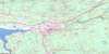
011E Related Maps:
011E Truro011E01 Liscomb
011E02 Upper Musquodoboit
011E03 Shubenacadie
011E04 Kennetcook
011E05 Bass River
011E06 Truro
011E07 Hopewell
011E08 Lochaber
011E09 Merigomish
011E10 New Glasgow
011E11 Tatamagouche
011E12 Oxford
011E13 Pugwash
011E14 Malagash
011E15 Pictou Island
011E16 Malignant Cove
