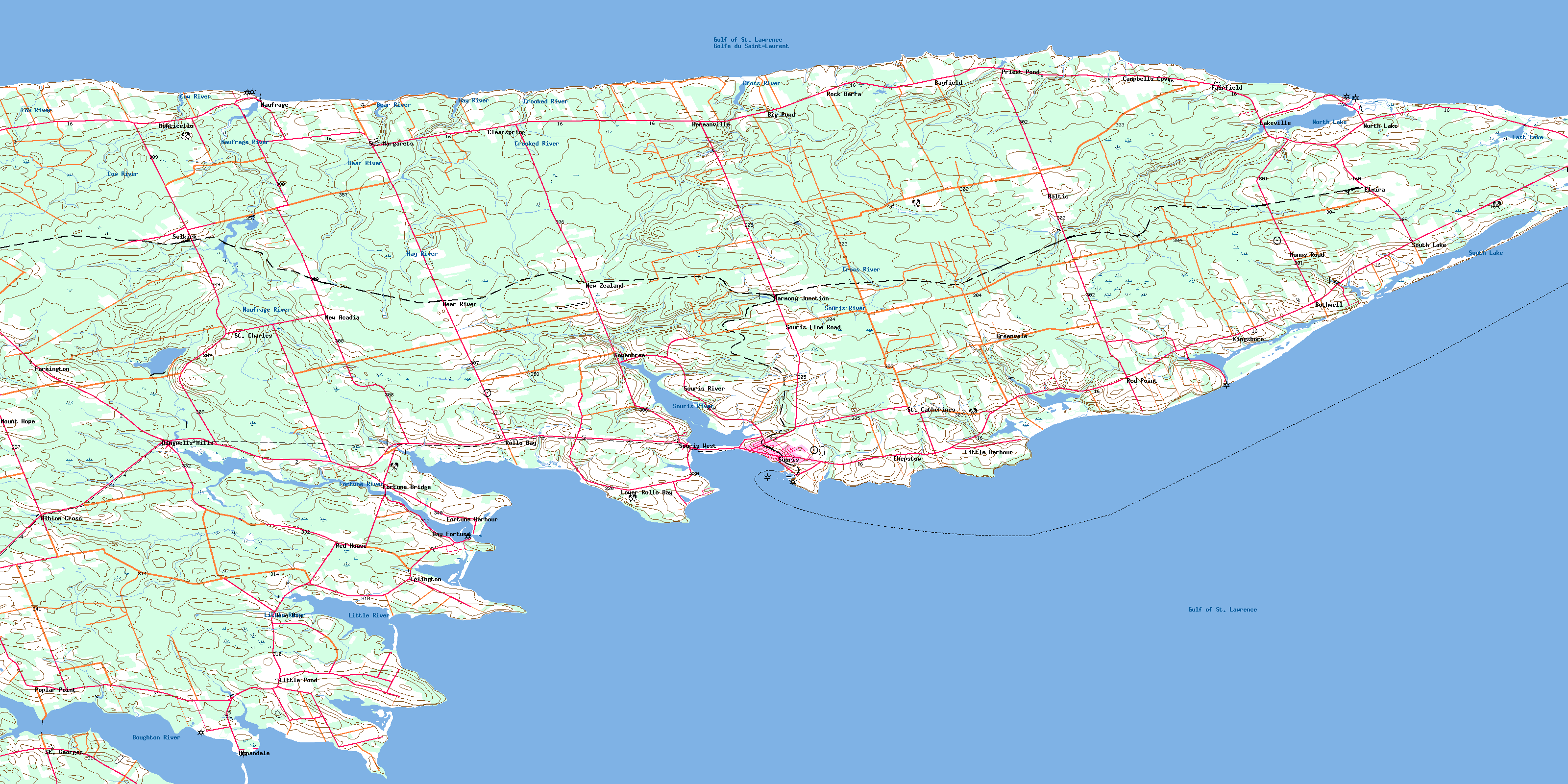
Souris Topo Map Online
Download Free Topo Map Sheet 011L08 at 1:50,000 scale
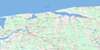
011L08 Souris Topo Map
To view this map, mouse over the map preview on the right.
You can also download this topo map for free:
011L08 Souris high-resolution topo map image.
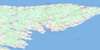
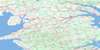
Maps for the Souris topo map sheet 011L08 at 1:50,000 scale are also available in these versions:
Souris Surrounding Area Topo Maps
 |
|||
 |
 |
 |
 |
 |
 |
 |
 |
© Department of Natural Resources Canada. All rights reserved.
Souris Gazetteer
The following places can be found on topographic map sheet 011L08 Souris:
Souris Topo Map: Bays
Basin Head HarbourBay Fortune
Blackett Creek
Blacketts Creek
Boughton Bay
Campbell Cove
Campbells Cove
Colville Bay
Eglington Cove
Eglinton Cove
Fortune Bay
Golfe du Saint-Laurent
Gulf of St. Lawrence
Hervey Cove
Howe Bay
Little Harbour
McFarlane Cove
Naufrage Harbour
North Lake Harbour
Rollo Bay
Souris Harbour
Spry Cove
Spry Cove
The Inlet
Souris Topo Map: Beaches
Fortune BeachSouris Topo Map: Capes
Abells CapeBanks Point
Basin Head
Bayfield Point
Campbell Point
Campbell Point
Campbells Point
Cape Abell
Cape Spry
Chaffeys Point
Chapel Point
Chepstow Point
Deane Point
Durell Point
Grey Point
Howe Point
Jimmys Point
Juniper Point
Knight Point
Lobster Point
Long Point
Macdonald Point
McKinnon Point
Narrow Point
Narrows Point
Old Ferry Spit
Point Poplar
Poplar Point
Red Point
Red Point
Rollo Point
Sandie Point
Sheep Head
Shipwreck Point
Short Point
Souris Head
Spry Point
Surveyor Point
Swanton Point
Sylvester Point
Souris Topo Map: Channels
Détroit de NorthumberlandNorthumberland Strait
Souris Topo Map: Geographical areas
KingsLot 42
Lot 43
Lot 44
Lot 45
Lot 46
Lot 47
Lot 55
Lot 56
Souris Topo Map: Islands
Prince Edward IslandSouris Topo Map: Lakes
Big PondBlack Pond
Diligent Pond
Dixons Pond
East Lake
Gillis Pond
Jenkins Pond
Johnny Belinda Pond
Larkins Pond
Leslies Pond
Little Harbour Pond
Little Pond
MacDonalds Pond
MacInnis Pond
MacInnis Pond
MacVanes Pond
McVarishs Pond
Naufrage Pond
Norris Pond
North Lake
Priest Pond
Sheep Pond
South Lake
Souris Topo Map: Conservation areas
Black Pond Bird SanctuaryCampbells Cove Provincial Park
Red Point Provincial Park
Refuge d'oiseaux de Black Pond
Souris Beach Provincial Park
Townshend Woodlot Provincial Park
Souris Topo Map: Provinces
Île-du-Prince-ÉdouardPrince Edward Island
Souris Topo Map: Rapids
Big RunSouris Topo Map: Rivers
Bear RiverBig Brook
Black Creek
Boughton River
Bull Creek
Cow Creek
Cow River
Crooked River
Crooked River
Cross River
East Lake Creek
Fortune River
Fox River
Grovepine Brook
Harmony Creek
Hay River
Little River
Malcolm Creek
Narrow Creek
Narrows Creek
Naufrage River
North Lake Creek
Priest Pond Creek
Souris River
St. Peters River
West River
Souris Topo Map: Shoals
Middle GroundShallop Rock
Souris Topo Map: Towns
SourisSouris Topo Map: Unincorporated areas
Albion CrossAnnandale
Armadale
Baltic
Bay Fortune
Bayfield
Bear River
Big Pond
Bothwell
Campbell Cove
Campbells Cove
Charnwood
Chepstow
Cherry Grove
Clear Spring
Clearspring
Connaught
Dingwell
Dingwell Mills
Dingwells Mills
Durell
East Baltic
East Point
Eglington
Elmira
Fairfield
Farmington
Fortune Bay
Fortune Bridge
Fortune Harbour
Fountain Head
Glencorradale
Gowan Brae
Gowanbrae
Greenvale
Harmony
Harmony Junction
Hermanville
Howe Bay
Kingsboro
Kingsborough
Lakeville
Little Harbour
Little Pond
Lot 56
Lower Rollo Bay
Mansfield
Monticello
Mount Hope
Munns Road
Naufrage
New Acadia
New Acadie
New Harmony
New Zealand
North Lake
North Lakeville
Point Poplar
Poplar Point
Priest Pond
Red House
Red Point
Rock Barra
Rollo Bay
Rollo Bay East
Rollo Bay West
Sailors Hope
Selkirk
Souris East
Souris Line Road
Souris River
Souris West
South Lake
St. Catherines
St. Charles
St. Georges
St. Margaret
St. Margarets
Souris Topo Map: Villages
Annandale-Little Pond-Howe BayCentral Kings
Eastern Kings
Souris West
© Department of Natural Resources Canada. All rights reserved.
