Eddies Cove Topo Map Online
Download Free Topo Map Sheet 012P08 at 1:50,000 scale
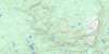
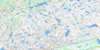
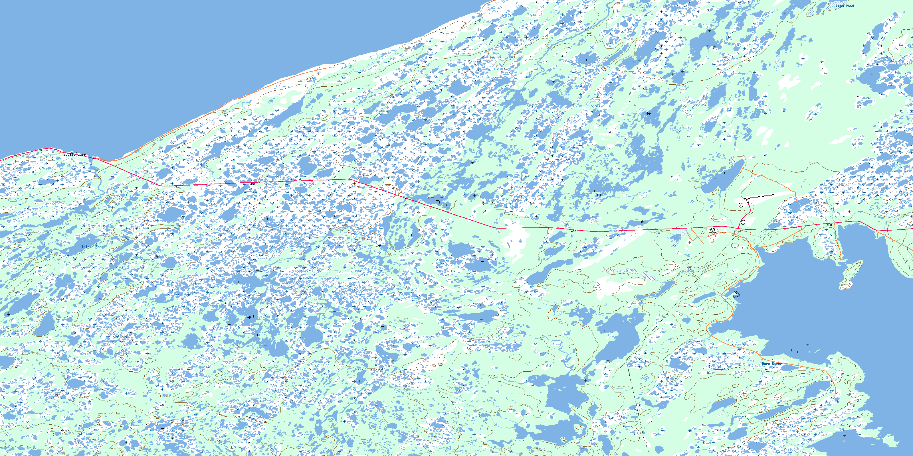
012P08 Eddies Cove Topo Map
To view this map, mouse over the map preview on the right.
You can also download this topo map for free:
012P08 Eddies Cove high-resolution topo map image.
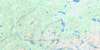
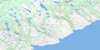
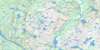
Maps for the Eddies Cove topo map sheet 012P08 at 1:50,000 scale are also available in these versions:
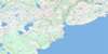
Eddies Cove Surrounding Area Topo Maps
 |
 |
 |
 |
 |
 |
 |
 |
 |
 |
 |
 |
 |
 |
© Department of Natural Resources Canada. All rights reserved.
Eddies Cove Gazetteer
The following places can be found on topographic map sheet 012P08 Eddies Cove:
Eddies Cove Topo Map: Bays
Eddies CoveFour Mile Cove
Goose Tickle Arm
Hare Bay
Northern Arm
Northwest Arm
Rocky Cove
Seal Bay
Serieux Arm
Wild Bight
Eddies Cove Topo Map: Capes
Ardoise PointBlanche Point
Four Mile Head
Fournier Point
Watts Point
West Point
Eddies Cove Topo Map: Channels
Détroit de Belle IsleGoose Tickle
Strait of Belle Isle
Eddies Cove Topo Map: Islands
Goose Tickle (Canard) IslandHare Island
Eddies Cove Topo Map: Lakes
Eddies Cove SteadyGaultons Pond
Island Pond
Lead Pond
Maynards Pond
Eddies Cove Topo Map: Conservation areas
Hare Bay Ecological ReserveHare Bay Seabird Ecological Reserve
Hare Bay Seabird Sanctuary
Watts Point Ecological Reserve
Eddies Cove Topo Map: Rivers
Big BrookBoiling Brook
Halfway Brook
Northeast Stream
Northwest Stream
Ours River
Eddies Cove Topo Map: Shoals
Lefevre ShoalSerieux Shoal
Tapissier Shoal
Eddies Cove Topo Map: Unincorporated areas
Eddies CoveEddy's Cove
© Department of Natural Resources Canada. All rights reserved.
