Ruisseau Chanion Topo Map Online
Download Free Topo Map Sheet 012P13 at 1:50,000 scale
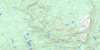
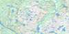
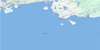
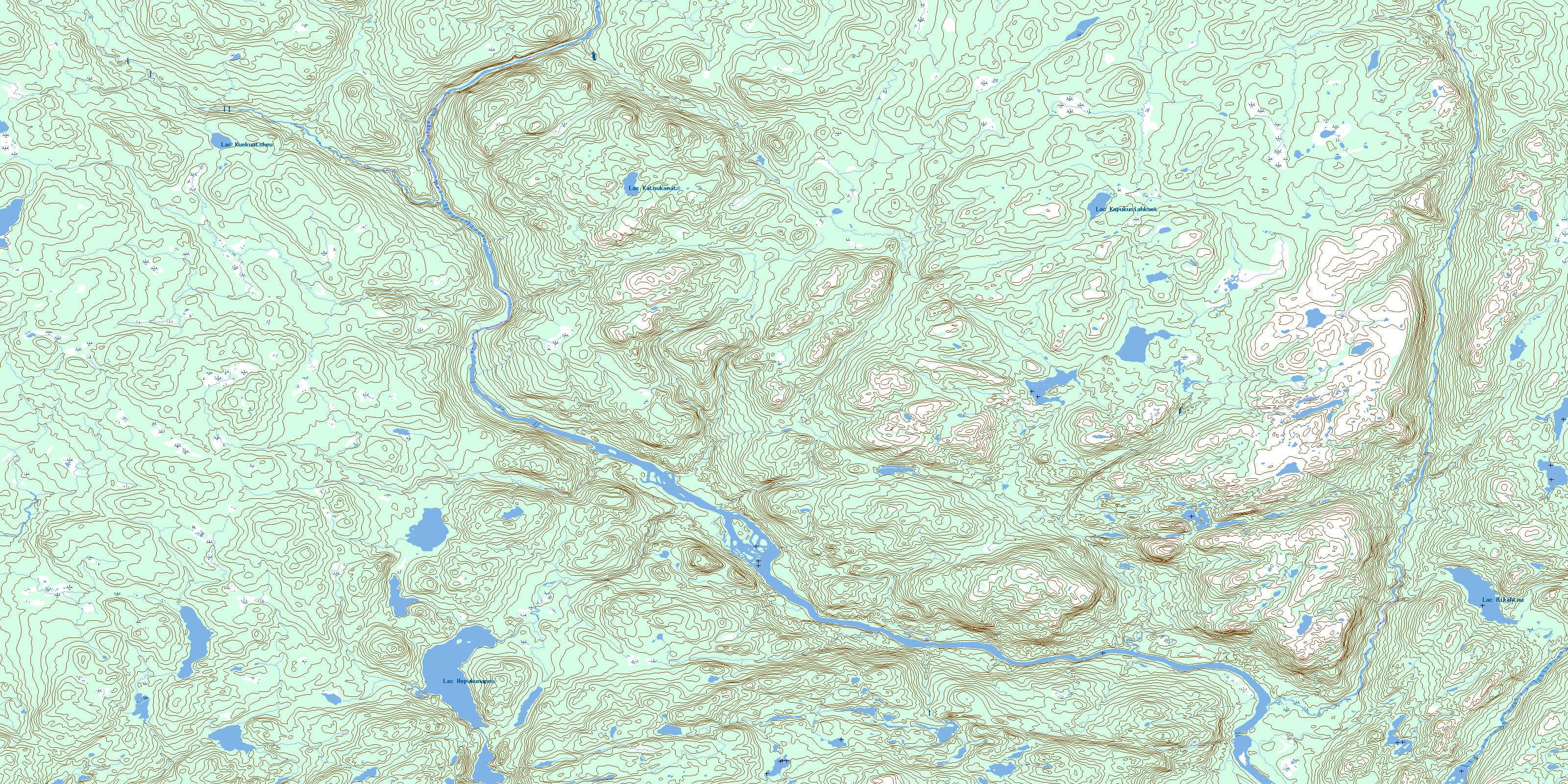
012P13 Ruisseau Chanion Topo Map
To view this map, mouse over the map preview on the right.
You can also download this topo map for free:
012P13 Ruisseau Chanion high-resolution topo map image.
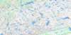
Maps for the Ruisseau Chanion topo map sheet 012P13 at 1:50,000 scale are also available in these versions:
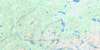
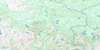
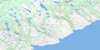
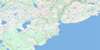
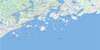
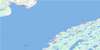
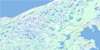
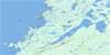
Ruisseau Chanion Surrounding Area Topo Maps
 |
 |
 |
 |
 |
 |
 |
 |
 |
 |
 |
 |
 |
 |
© Department of Natural Resources Canada. All rights reserved.
Ruisseau Chanion Gazetteer
The following places can be found on topographic map sheet 012P13 Ruisseau Chanion:
Ruisseau Chanion Topo Map: Bays
Ruisseau Coal OilRuisseau Chanion Topo Map: Capes
Pointe AibonPointe Burnt Trap
Pointe Carcajou
Pointe Diner
Pointe Putting
Pointe White Wood
Ruisseau Chanion Topo Map: Islands
Île BearÎle Seal
Îles Kaministukueuetshuahk
Îlot Fly
Ruisseau Chanion Topo Map: Lakes
Lac BeaverLac Bob
Lac Candy
Lac Chapeau
Lac Hepukunapeu
Lac Hikahtnu
Lac John-Baptiste
Lac Jos
Lac Kapukuniahkuet
Lac Katnukamat
Lac Kuekuatsheu
Lacs à la Tente
Ruisseau Chanion Topo Map: Mountains
Mont Pope HeadMont Porc-Épic
Ruisseau Chanion Topo Map: Rapids
Le Petit RapideLes Grands Rapides
Ruisseau Chanion Topo Map: Rivers
Rivière BujeaultRivière des Esquimaux
Rivière Perdrix
Rivière Saint-Paul
Ruisseau Beaver House
Ruisseau Black-Charles
Ruisseau Bob
Ruisseau Carcajou
Ruisseau Chanion
Ruisseau Charlie-Mark
Ruisseau Deer
Ruisseau Gulch
Ruisseau Jos
Ruisseau Juniper
Ruisseau Kapanachi
Ruisseau Kuekuatsheu
Ruisseau Lucky
Ruisseau Phil's Cabin
Ruisseau Rocky
Ruisseau Seven Islands
Ruisseau Sleigh
Ruisseau Slip
Ruisseau Toe Nail
Ruisseau Uahatu
Ruisseau William
Ruisseau Chanion Topo Map: River features
Fosse Big DickFosse Big-John
Fosse Bob
Fosse Chandler
Fosse Ches
Fosse Chuck
Fosse Claudette
Fosse Cornerbrook
Fosse du Ruisseau Bob
Fosse Ed
Fosse Gimpy
Fosse Home
Fosse Jacquette
Fosse Jon
Fosse Kapanachi
Fosse Lucky
Fosse Old-Will
Ruisseau Chanion Topo Map: Road features
Portage du Petit-RapideRuisseau Chanion Topo Map: Unincorporated areas
Deer GroundGeorge-Nother Ground
Kaminuaskuiast
Lucky Brook Ground
The Gib
© Department of Natural Resources Canada. All rights reserved.
