Pinware Topo Map Online
Download Free Topo Map Sheet 012P10 at 1:50,000 scale
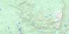
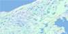
012P10 Pinware Topo Map
To view this map, mouse over the map preview on the right.
You can also download this topo map for free:
012P10 Pinware high-resolution topo map image.
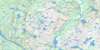
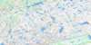
Maps for the Pinware topo map sheet 012P10 at 1:50,000 scale are also available in these versions:
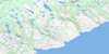
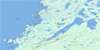
Pinware Surrounding Area Topo Maps
 |
 |
 |
 |
 |
 |
 |
 |
 |
 |
 |
 |
 |
 |
© Department of Natural Resources Canada. All rights reserved.
Pinware Gazetteer
The following places can be found on topographic map sheet 012P10 Pinware:
Pinware Topo Map: Bays
Back CoveCarrol Cove
Diable Bay
L'Anse au Loup
Pinware Bay
Wolf Pond Lead
Pinware Topo Map: Capes
Back Cove PointCape Diable
Carrol Point
Ship Head
The Neck
Pinware Topo Map: Channels
Détroit de Belle IsleStrait of Belle Isle
The Tickle
Pinware Topo Map: Cliffs
Red CliffsPinware Topo Map: Islands
Lily IslandNelly Island
St. Modeste Island
Pinware Topo Map: Lakes
Caplin PondCountry Cat Pond
County Cat Pond
Durands Pond
Ellises Pond
Finnegans Pond
First Pond
Indian Pond
Inside Pond
Inside Pond
Kitty Pond
Laid of Ponds
L'Anse-au-Diable Pond
L'Anse-au-Loup Big Pond
L'Anse-au-Loup Little Pond
Levi Pond
Middle Pond
Outside Pond
Picton Pond
Pinware Pond
Pocketknife Pond
Rocky Pond
Round Pond
Sewer Pipe Pond
Shellbird Pond
Stag Pond
Three Corner Pond
Trout Pond
Wolf Pond
Pinware Topo Map: Mountains
Big HillBogeys Hill
Inside Ridge
Outside Ridge
Pinch Hill
The Battery
The Pinch
Whaler Hill
White Hills
Pinware Topo Map: Conservation areas
Pinware River Provincial ParkPinware Topo Map: Rivers
Forteau BrookL'Anse au Diable Brook
L'Anse au Loup Brook
Lost River
Pinware River
Rogers Brook
Skipper Neds Brook
Southwest Brook
Trout River
Pinware Topo Map: Shoals
Centre BankSoldier Rock
The Bank
Pinware Topo Map: Towns
L'Anse au LoupL'Anse-au-Loup
Pinware
West St. Modeste
Pinware Topo Map: Unincorporated areas
Capstan IslandEast St Modeste
L'Anse-au-Diable
Pinware Topo Map: Valleys
L'Anse-au-Loup Valley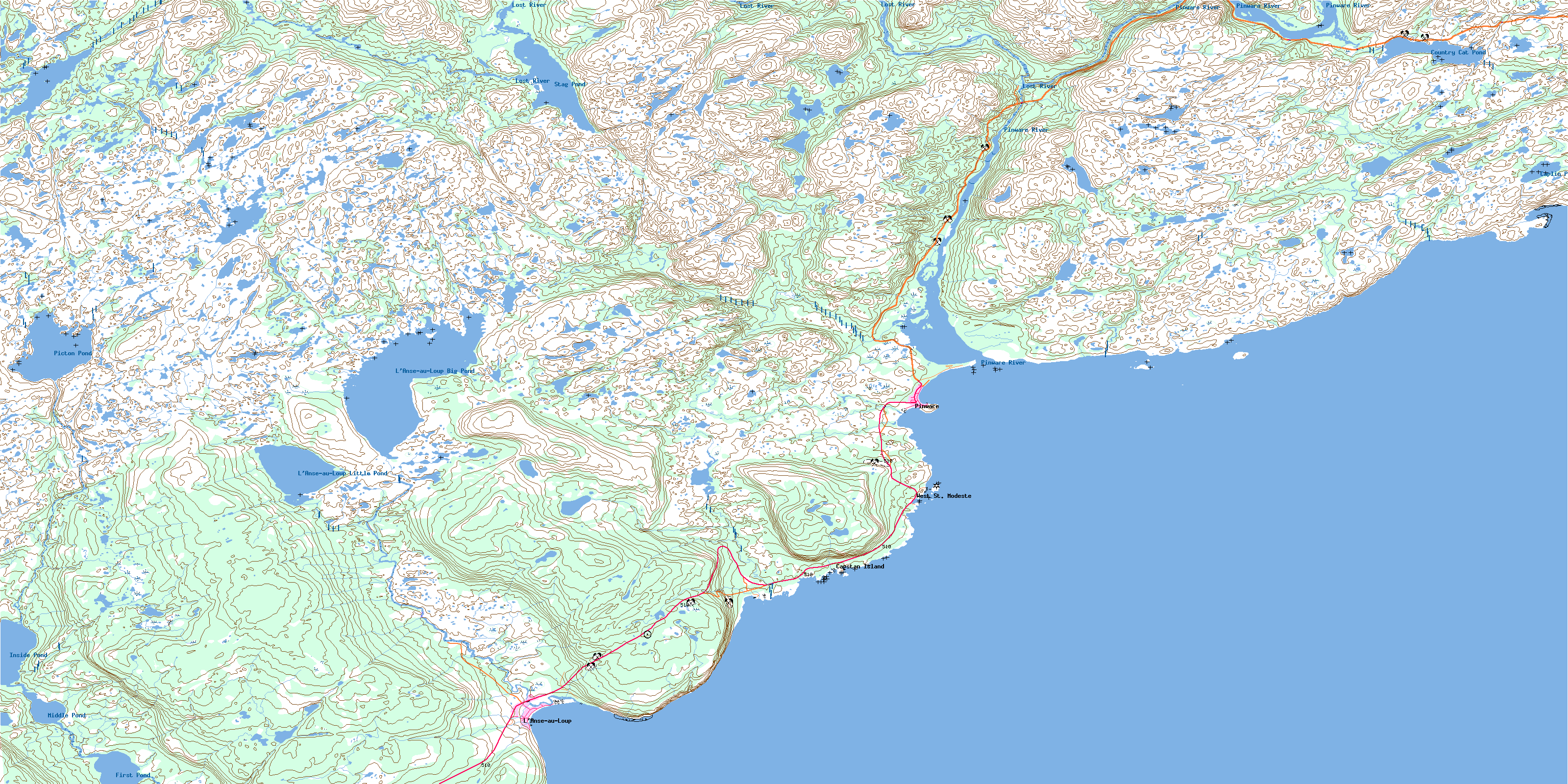
© Department of Natural Resources Canada. All rights reserved.
