Barge Bay Topo Map Online
Download Free Topo Map Sheet 012P16 at 1:50,000 scale
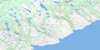
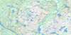
012P16 Barge Bay Topo Map
To view this map, mouse over the map preview on the right.
You can also download this topo map for free:
012P16 Barge Bay high-resolution topo map image.
Maps for the Barge Bay topo map sheet 012P16 at 1:50,000 scale are also available in these versions:
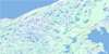
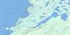
Barge Bay Surrounding Area Topo Maps
 |
 |
 |
 |
 |
 |
 |
 |
 |
 |
 |
 |
 |
 |
© Department of Natural Resources Canada. All rights reserved.
Barge Bay Gazetteer
The following places can be found on topographic map sheet 012P16 Barge Bay:
Barge Bay Topo Map: Bays
Barge BayBarge Point Cove
Big Cove
Black Bay
Fry's Cove
Green Bay
Woody Cove
Wreck Bay
Wreck Cove
Barge Bay Topo Map: Capes
Barge PointEast Point
Eastern Point
Green Bay Point
Gun Point
Salmon Point
Western Point
Wiseman Head
Wiseman Head
Wreck Point
Barge Bay Topo Map: Channels
Détroit de Belle IsleStrait of Belle Isle
Barge Bay Topo Map: Cliffs
Green Bay CliffBarge Bay Topo Map: Lakes
Big Head PondBig Stag Pond
Black Bay Pond
Black Bay Ponds
Chase Me Further Pond
Chateau Ponds
Grahams Pond
Green Bay Ponds
Inside Rocky Pond
Island Pond
Jib Pond
Juniper Pond
Laydens Pond
Little Stag Pond
Long Pond
Otter Pond
Outside Big Pond
Outside Rocky Pond
Pond Inside Long Pond
Rocky Ponds
Stag Pond
Steady Under the Pinch
Tear Fear Pond
Wild Cove Ponds
Wiseman Pond
Wreck Cove Ponds
Barge Bay Topo Map: Mountains
Black Bay JibStag Pond Jib
The Pinch
Barge Bay Topo Map: Rivers
Barge Bay BrookBlack Bay Brook
Eastern Brook
Green Bay Brook
North Brook
Pinware River
Wiseman Brook
Wreck Cove Brook East Branch
Wreck Cove Brook West Branch
Barge Bay Topo Map: Shoals
Bay ShoalHalfway Rocks
Seal Rocks
Barge Bay Topo Map: Unincorporated areas
Barge Bay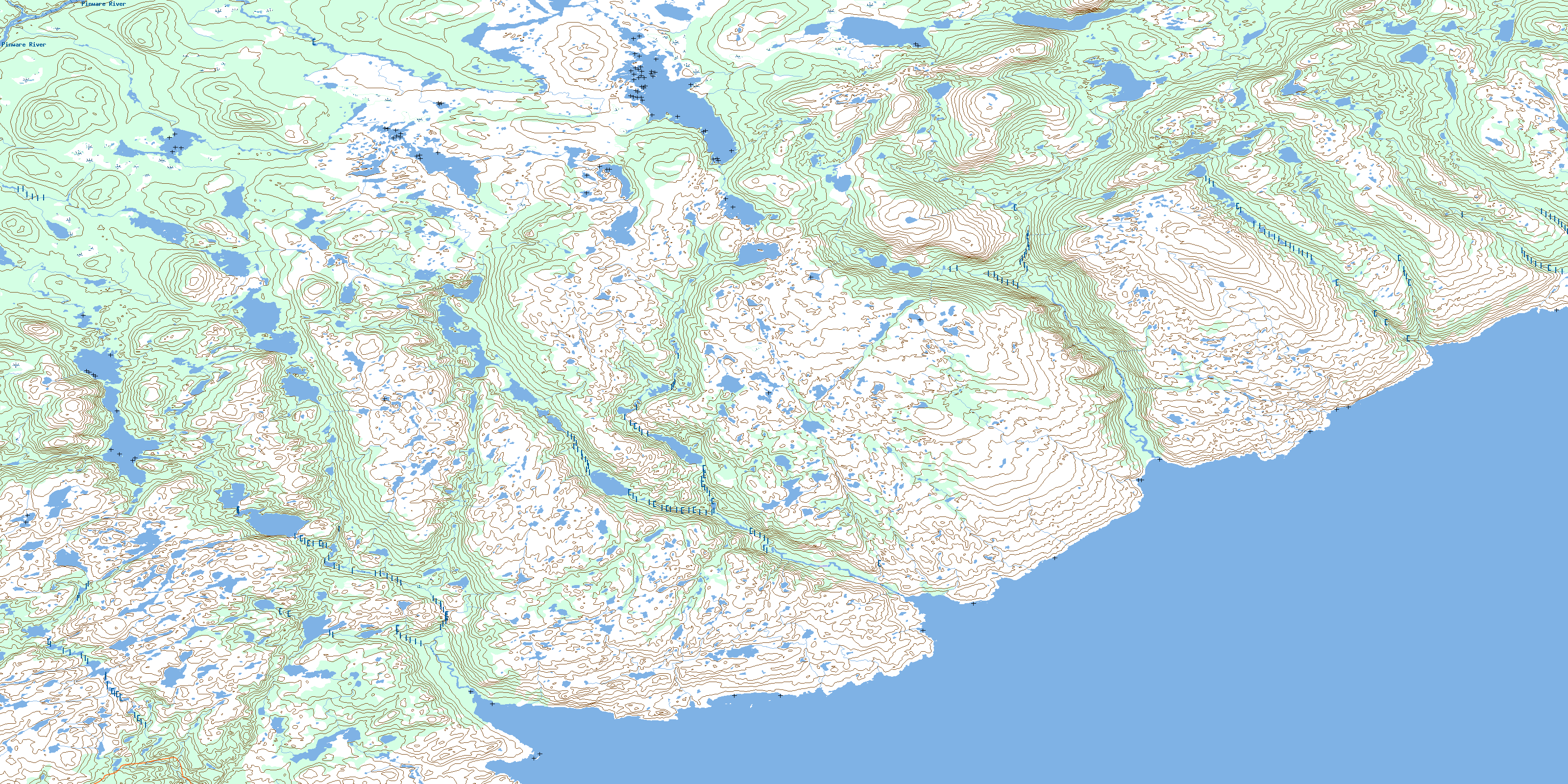
© Department of Natural Resources Canada. All rights reserved.
