Goose Bay Topo Map Online
Download Free Topo Map Sheet 013F08 at 1:50,000 scale
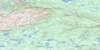
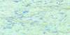
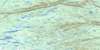
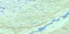
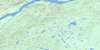
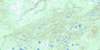
013F08 Goose Bay Topo Map
To view this map, mouse over the map preview on the right.
You can also download this topo map for free:
013F08 Goose Bay high-resolution topo map image.
Maps for the Goose Bay topo map sheet 013F08 at 1:50,000 scale are also available in these versions:
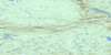
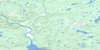
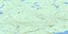
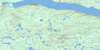
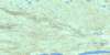
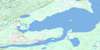
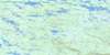
Goose Bay Surrounding Area Topo Maps
 |
 |
 |
 |
 |
 |
 |
 |
 |
 |
 |
 |
 |
 |
 |
 |
© Department of Natural Resources Canada. All rights reserved.
Goose Bay Gazetteer
The following places can be found on topographic map sheet 013F08 Goose Bay:
Goose Bay Topo Map: Air navigation features
Goose AirportGoose Bay Topo Map: Bays
Goose BayHamilton Inlet
Terrington Basin
The Bight
Goose Bay Topo Map: Capes
Charles PointEnglish Point
Geyts Point
Gibeon Point
Groves Point
Middle Point
Muldoon Point
Sandy Point
Shoal Point
Goose Bay Topo Map: Channels
Goose Bay NarrowsTerrington Narrows
Goose Bay Topo Map: Islands
Birch IslandLower Island
Man o'War Island
Rabbit Island
Snake Island
Goose Bay Topo Map: Lakes
Gosling LakeLake Melville
McLean Lake
Mud Lake
Muskrat Lake
Goose Bay Topo Map: Military areas
Base des Forces canadiennes Goose BayCanadian Forces Base Goose Bay
Goose Bay Topo Map: Rivers
Birch BrookBirch Island Creek
Churchill River
Fleuve Churchill
Goose River
Gosling Brook
Hamilton River
Otter Creek
Peter Jackies Brook
Traverspine River
Goose Bay Topo Map: Towns
Goose BayHappy Valley
Happy Valley-Goose Bay
Goose Bay Topo Map: Unincorporated areas
Hamilton RiverMud Lake
Spruce Park
Goose Bay Topo Map: Valleys
Spring Gulch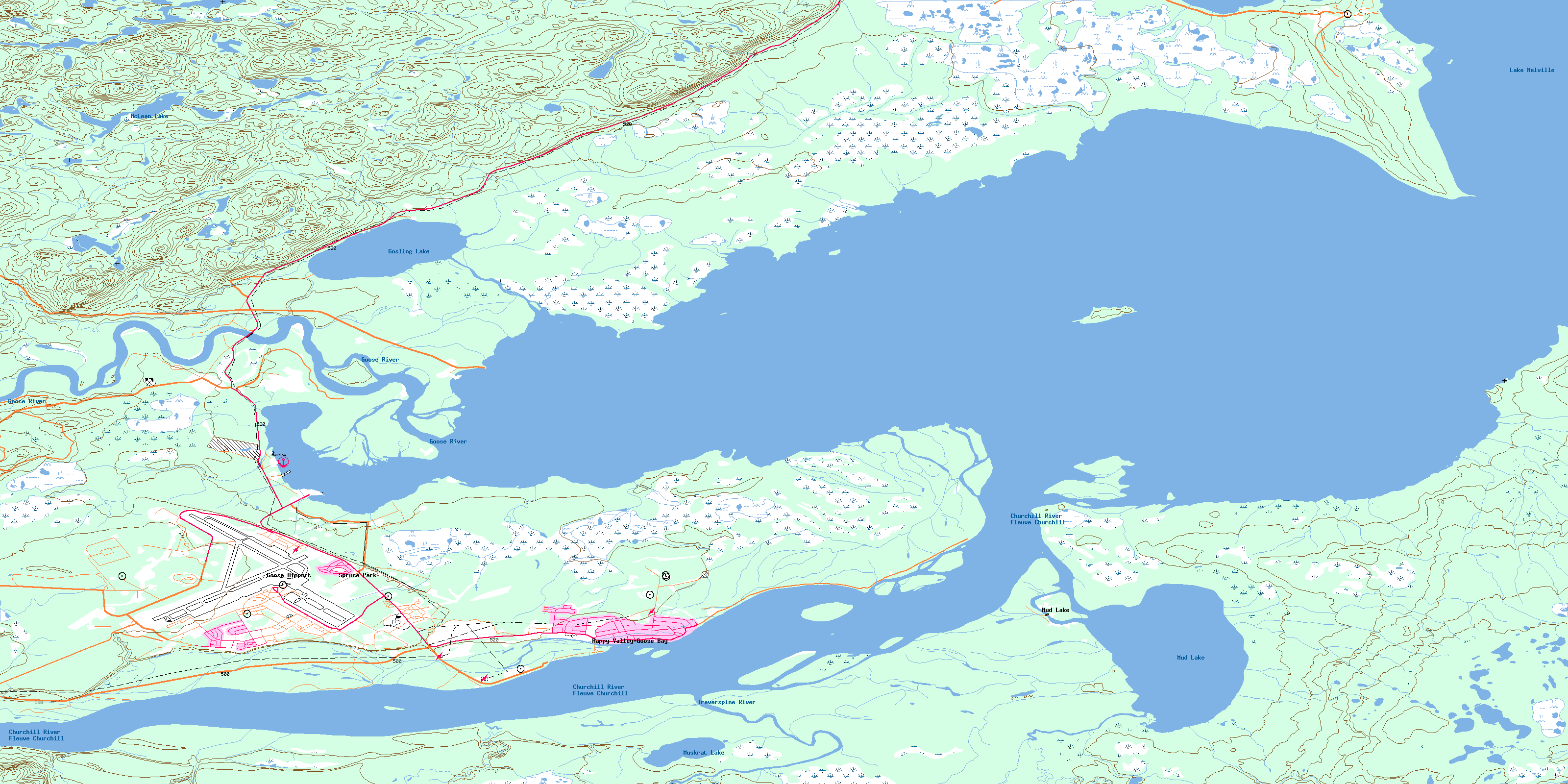
© Department of Natural Resources Canada. All rights reserved.
013F Related Maps:
013F Goose Bay013F01 Traverspine River
013F02 Mckenzie River
013F03 Pinus River
013F04 No Title
013F05 No Title
013F06 No Title
013F07 Goose River
013F08 Goose Bay
013F09 North West River
013F10 Cape Caribou River
013F11 No Title
013F12 Mountaineer Lakes
013F13 No Title
013F14 Mount Sawyer
013F15 Mount Elizabeth
013F16 Mokami Hill
