Stag Bay Topo Map Online
Download Free Topo Map Sheet 013J15 at 1:50,000 scale
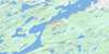
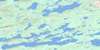
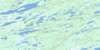
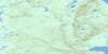
013J15 Stag Bay Topo Map
To view this map, mouse over the map preview on the right.
You can also download this topo map for free:
013J15 Stag Bay high-resolution topo map image.
Maps for the Stag Bay topo map sheet 013J15 at 1:50,000 scale are also available in these versions:
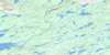
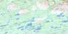
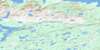
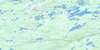
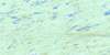
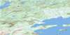
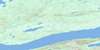
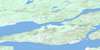
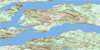
Stag Bay Surrounding Area Topo Maps
 |
 |
 |
 |
 |
 |
 |
 |
 |
 |
 |
 |
 |
 |
 |
 |
© Department of Natural Resources Canada. All rights reserved.
Stag Bay Gazetteer
The following places can be found on topographic map sheet 013J15 Stag Bay:
Stag Bay Topo Map: Bays
Adlavik BayAdlavik Harbour
Big Cove
Johns Cove
Kings Bay
Little Adlavik Harbour
Little Safety Harbour
Manak Bay
Meshers Harbour
Nionguak Bight
Niunguaq Bight
Pamialic Bay
Pamiulik Bay
Pomialuk Bay
Pretty Harbour
Rocky Cove
Rogers Harbour
Salmon Bight
Seal Cove
Stag Bay
White Bear Bight
Stag Bay Topo Map: Capes
Black HeadCrow Head
Maloneys Point
Niunguaq Point
North Point
Pamialic Point
Pomialuk Point
Porcupine Point
Razors Point
Rocky Cove Neck
Rocky Cove Point
Seal Cove Point
Seal Point
South Point
South Point of the Bay
Stormy Point
Topik Point
Stag Bay Topo Map: Channels
Burnt Island TickleMartins Tickle
Stag Bay Topo Map: Islands
Adlavik IslandsBlack Sisters
Burnt Island
Conical Island
Dog Island
Dog Islands
Flat Island
Hare Island
Indian Island
Iron Island
Kikkertavak Island
Little Double Island
Long Tickle South Island
Morgan's Island
Pig Island
Pretty Harbour Island
Quaker Hat Island
Southern Island
Tikaoralik Islet
Stag Bay Topo Map: Mountains
Benedict MountainsStag Bay Topo Map: Rivers
Adlavik BrookBig River
Libbys Brook
Pamialic River
Pamiulik River
Pomialuk Brook
Stag Bay Brook
Stag Bay Topo Map: Seas
Labrador SeaMer du Labrador
Stag Bay Topo Map: Shoals
Maloneys Shoal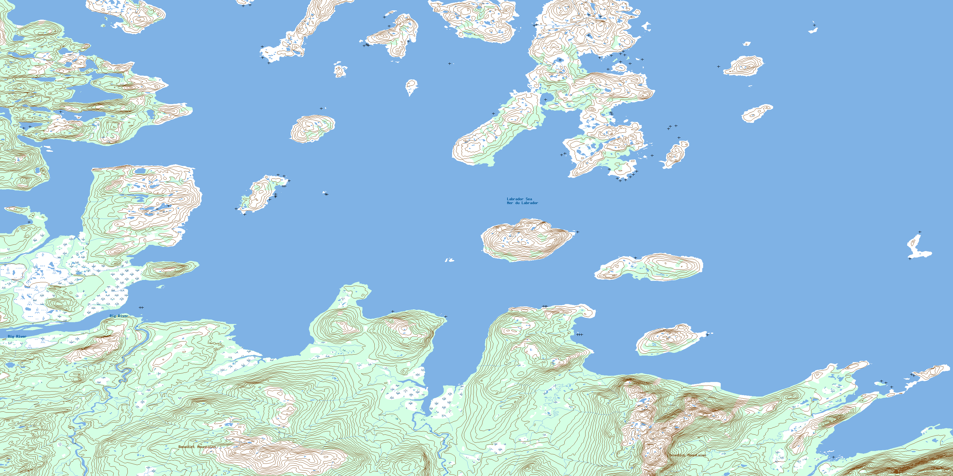
© Department of Natural Resources Canada. All rights reserved.
013J Related Maps:
013J Rigolet013J01E Rigolet
013J01W Rigolet
013J02E Burnt Head
013J02W Burnt Head
013J03E Double Mer
013J03W Double Mer
013J04 No Title
013J05 No Title
013J06 No Title
013J07 No Title
013J08E Ticoralak Island
013J08W Ticoralak Island
013J09E Lake Michael
013J09W Lake Michael
013J10E Mount Benedict
013J10W Mount Benedict
013J11E Micmac River
013J11W Micmac River
013J12E No Title
013J12W No Title
013J13E Post Hill
013J13W Post Hill
013J14E Monkey Hill
013J14W Monkey Hill
013J15E Stag Bay
013J15W Stag Bay
013J16E Webeck Harbour
013J16W Webeck Harbour
