Gulch Cape Topo Map Online
Download Free Topo Map Sheet 014M03 at 1:50,000 scale
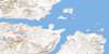
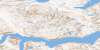
014M03 Gulch Cape Topo Map
To view this map, mouse over the map preview on the right.
You can also download this topo map for free:
014M03 Gulch Cape high-resolution topo map image.
Maps for the Gulch Cape topo map sheet 014M03 at 1:50,000 scale are also available in these versions:
Gulch Cape Surrounding Area Topo Maps
 |
|||
 |
 |
||
 |
 |
© Department of Natural Resources Canada. All rights reserved.
Gulch Cape Gazetteer
The following places can be found on topographic map sheet 014M03 Gulch Cape:
Gulch Cape Topo Map: Bays
Bigelow BayBigelow Bight
Delabarre Bay
Nachvak Bay
Nachvak Fiord
Naksaluk Cove
Razorback Harbour
Sittorutjat Cove
Gulch Cape Topo Map: Capes
Cape DalyGulch Cape
Naked Man Point
North Head
Southeast Entrance Point
Gulch Cape Topo Map: Channels
The NarrowsGulch Cape Topo Map: Lakes
Adams LakeRazorback Tarn
Gulch Cape Topo Map: Mountains
Kammarsuit MountainMount Razorback
Nenoragtualub Mountain
Prowse Peak
Sittorutjab Mountain
Torngat Mountains
Torugak Mountains
Gulch Cape Topo Map: Rivers
Razorback BrookGulch Cape Topo Map: Shoals
Big ReefPassage Reef
Prebble Rocks
Southeast Rock
Wilder Rocks
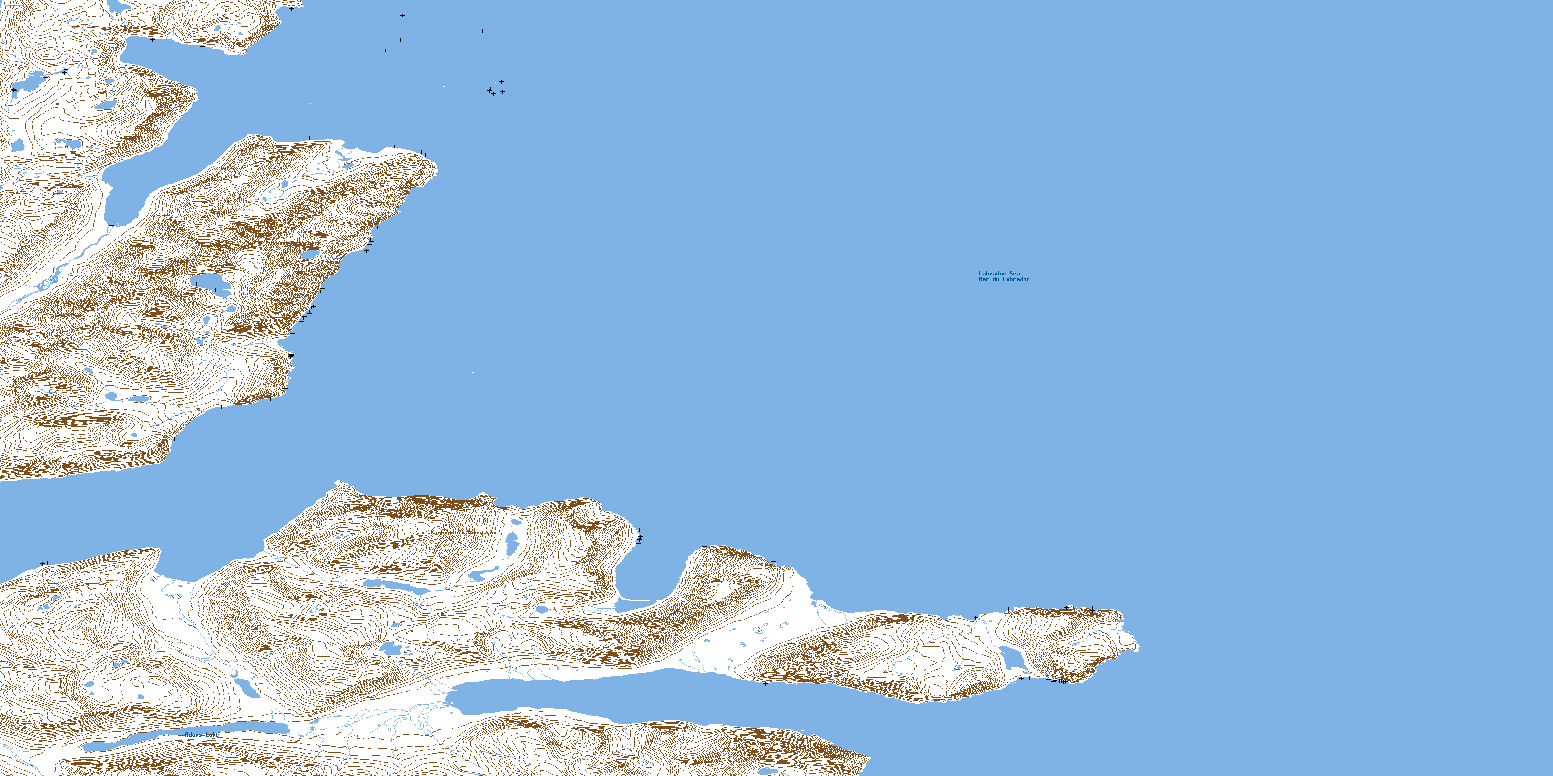
© Department of Natural Resources Canada. All rights reserved.
