La Patrie Topo Map Online
Download Free Topo Map Sheet 021E06 at 1:50,000 scale
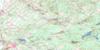
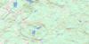
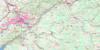
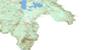
021E06 La Patrie Topo Map
To view this map, mouse over the map preview on the right.
You can also download this topo map for free:
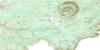
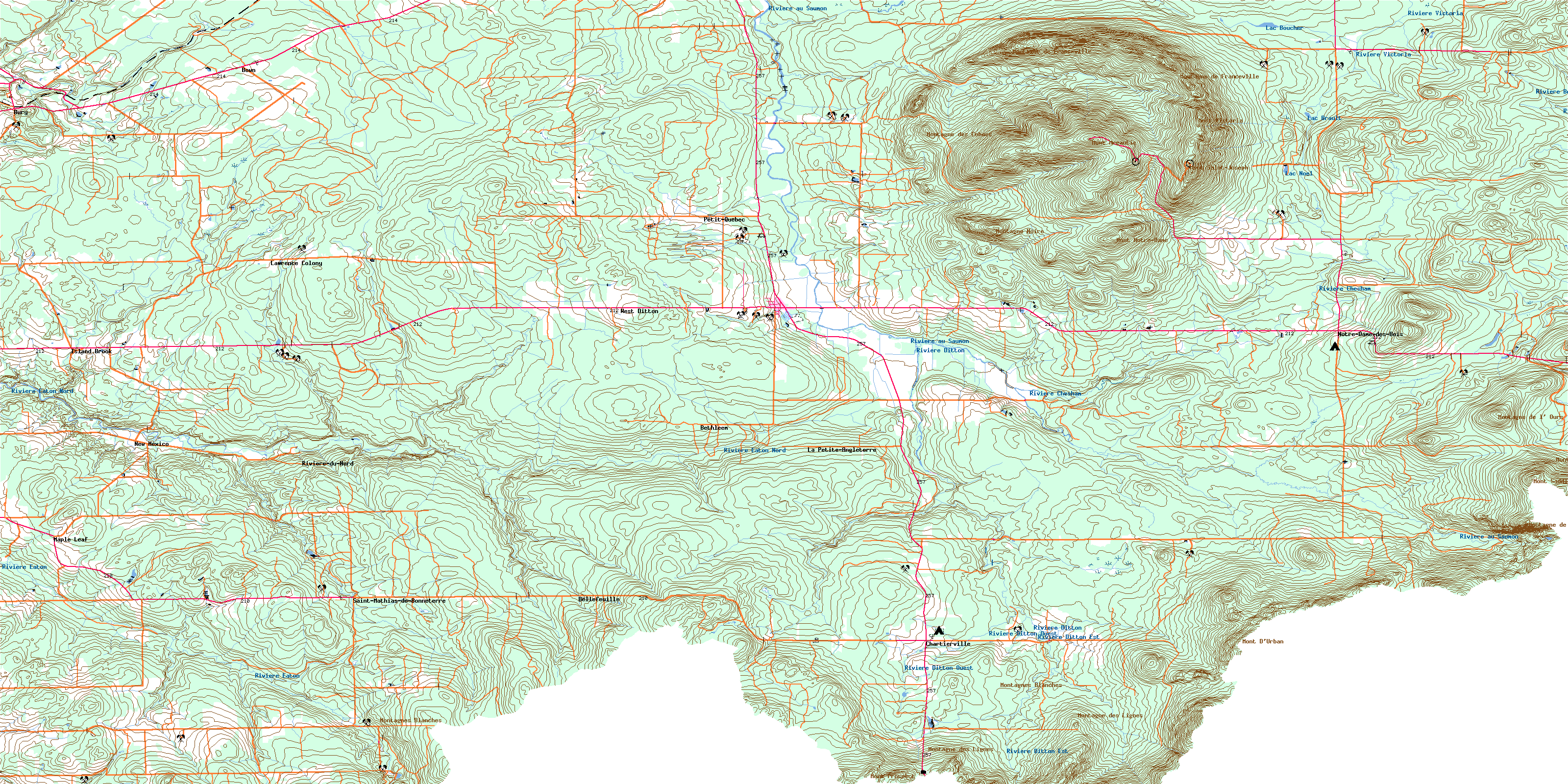
021E06 La Patrie high-resolution topo map image.
Maps for the La Patrie topo map sheet 021E06 at 1:50,000 scale are also available in these versions:
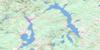
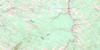
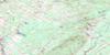
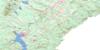
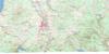
La Patrie Surrounding Area Topo Maps
 |
 |
 |
 |
 |
 |
 |
 |
 |
 |
 |
|
 |
 |
© Department of Natural Resources Canada. All rights reserved.
La Patrie Gazetteer
The following places can be found on topographic map sheet 021E06 La Patrie:
La Patrie Topo Map: Forests
Bois de Sept MillesLa Patrie Topo Map: Geographical areas
AucklandBury
Chesham
Ditton
Emberton
Hampden
La Décollation-de-Saint-Jean-Baptiste
La Décollation-de-Saint-Jean-Baptiste
Marston
Newport
Notre-Dame-des-Bois
Saint-Léon-le-Grand
Saint-Mathias
Saint-Mathias-de-Bonneterre
Saint-Pierre
La Patrie Topo Map: Hydraulic construction
Barrage de la MontagneLa Patrie Topo Map: Lakes
Étang LouisLac à Gérard-Labranche
Lac au Pin
Lac Boucher
Lac Bouchette
Lac Brault
Lac Danger
Lac de la Passe
Lac des Canards
Lac des Coyotes
Lac Fluet
Lac Noël
Lac Vallée
Lacs à Paul-Vallée
Petit lac aux Outardes
La Patrie Topo Map: Mountains
Le Pain de SucreMont Ben-Durban
Mont D'Urban
Mont Mégantic
Mont Notre-Dame
Mont Prospect
Mont Saddle
Mont Saint-Joseph
Mont Saint-Léon
Mont Victoria
Montagne de Franceville
Montagne de l'Ours
Montagne de Marbre
Montagne des Cohoes
Montagne des Lignes
Montagne Marble
Montagne Noire
Montagnes Blanches
Sommet Valence
La Patrie Topo Map: Other municipal/district area - miscellaneous
Circonscription électorale de Mégantic-ComptonLa Patrie Topo Map: Conservation areas
Parc de conservation du Mont-MéganticParc national du Mont-Mégantic
Réserve écologique Samuel-Brisson
La Patrie Topo Map: Plains
Plateau des ChicotsLa Patrie Topo Map: Provinces
QuebecLa Patrie Topo Map: Rivers
Bog BrookBranche Bibeau
Cours d'eau Audet
Cours d'eau Beauregard
Cours d'eau Desautels
Cours d'eau Dostie
Cours d'eau Labbé
Cours d'eau Maheu
Cours d'eau Mercier
Cours d'eau Paul
Cours d'eau Prévost
Cours d'eau Roy
Cours d'eau Thivierge
Cours d'eau West Ditton
Deuxième branche de la Rivière Eaton
Deuxième rivière Eaton
Otter Brook
Première branche de la Rivière Eaton
Première rivière Eaton
Rivière au Saumon
Rivière Bergeron
Rivière Chesham
Rivière Ditton
Rivière Ditton Est
Rivière Ditton Ouest
Rivière du Nord
Rivière du Quatre
Rivière du Sud
Rivière Eaton
Rivière Eaton Nord
Rivière Victoria
Ruisseau à Thomas
Ruisseau au Pin
Ruisseau Beron
Ruisseau Bonn
Ruisseau Boucher
Ruisseau Boutin
Ruisseau Bown
Ruisseau Bury
Ruisseau Chabot
Ruisseau chez Pérusse
Ruisseau Christmas
Ruisseau Cowling
Ruisseau de la Fromagerie
Ruisseau de la Montagne
Ruisseau Deloge
Ruisseau Ditton Ouest
Ruisseau Dodge
Ruisseau Doyon
Ruisseau du Mocassin
Ruisseau du Moulin
Ruisseau du Père-Fortier
Ruisseau du Pont Bleu
Ruisseau du Pont Rouge
Ruisseau Dutch
Ruisseau Fortier
Ruisseau Galt
Ruisseau Giard
Ruisseau Island
Ruisseau la Loutre
Ruisseau Louis
Ruisseau Lyon
Ruisseau McLeod
Ruisseau Mining
Ruisseau Morin
Ruisseau Mud
Ruisseau Philie
Ruisseau Phillie
Ruisseau Poilu
Ruisseau Saint-Joseph
Ruisseau Sherman
Ruisseau Statton
Ruisseau Tambs
Ruisseau Valley
La Patrie Topo Map: Road features
Côte à ChabotCôte de l'Église
Pont de la Beurrerie
Pont de la Croix
Pont de la Mine
Pont du Dixième-Rang
Pont Lachance
Pont Wellis-Leggett
Pont Willis-Leggett
La Patrie Topo Map: Miscellaneous sites
Domaine des AppalachesLa Patrie Topo Map: Towns
La PatrieNewport
La Patrie Topo Map: Unincorporated areas
BellefeuilleBethléem
Bonneterre
Bown
Bury
Chartierville
Ditton
Herringville
Island Brook
La Patrie
La Petite-Angleterre
Lawrence Colony
Little England
Maple Leaf
New Mexico
Notre-Dame-des-Bois
Petit-Québec
Rivière-du-Nord
Saint-Mathias-de-Bonneterre
West Ditton
West Ditton
La Patrie Topo Map: Low vegetation
Marécage des ScotsMarécage Scotstown
La Patrie Topo Map: Villages
AucklandAukland
Bury
Chartierville
Clifton-Partie-Est
Ditton
Emberton
Hampden
La Patrie
Newport
Newport
Notre-Dame-des-Bois
Piopolis
Saint-Isidore-d'Auckland
Saint-Isidore-de-Clifton
Saint-Malo
Val-Racine
© Department of Natural Resources Canada. All rights reserved.
