Cap D'Espoir Topo Map Online
Download Free Topo Map Sheet 022A08 at 1:50,000 scale
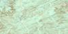
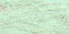
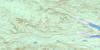
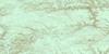
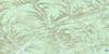
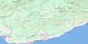
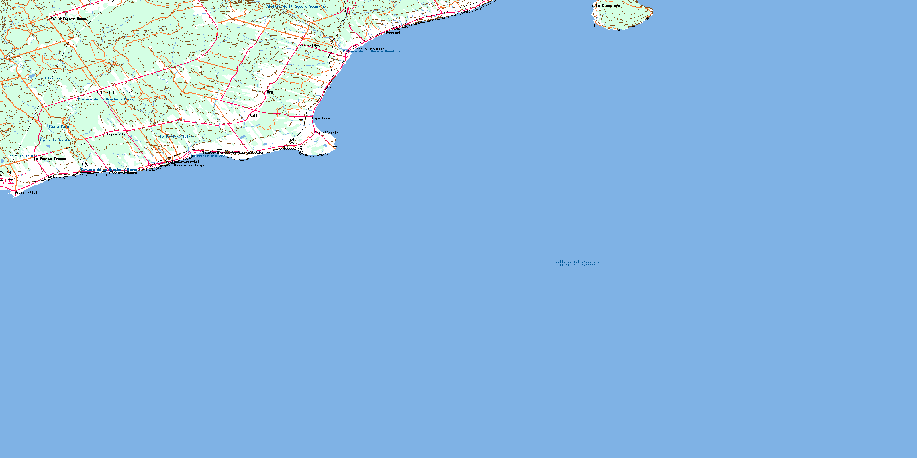
022A08 Cap D'Espoir Topo Map
To view this map, mouse over the map preview on the right.
You can also download this topo map for free:
022A08 Cap D'Espoir high-resolution topo map image.
Maps for the Cap D'Espoir topo map sheet 022A08 at 1:50,000 scale are also available in these versions:
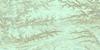
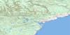
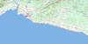
Cap D'Espoir Surrounding Area Topo Maps
 |
 |
 |
 |
 |
 |
 |
 |
 |
 |
 |
 |
 |
 |
 |
© Department of Natural Resources Canada. All rights reserved.
Cap D'Espoir Gazetteer
The following places can be found on topographic map sheet 022A08 Cap D'Espoir:
Cap D'Espoir Topo Map: Bays
Anse à BeaufilsAnse à Brochet
Anse du Cap
Anse du Loup
Baie des Chaleurs
Baie des Marigots
Bull's Cove
Chaleur Bay
Gulf of St. Lawrence
Havre de Sainte-Thérèse
La Pinnerie
Lazy Beach
Cap D'Espoir Topo Map: Beaches
La Lazy BeachPlage à Brochet
Plage du Bria
Plage Duval
Plage Paget
Cap D'Espoir Topo Map: Capes
Cap d'EspoirCap Malin
Cap Rouge
Long Point of Gannet Ledge
Long Point of Kittiwake Cove
Pointe à Margaulx
Pointe Bull's Cove
Pointe du Square Rock
Pointe Lazy Beach
Pointe Lazy Beach
Pointe Paget
Pointe Peter-John-Duval
Pointe Robin
Pointe Verte
Pointe Wall
The Ewe
The Ram
Cap D'Espoir Topo Map: City
Grande-RivièrePercé
Cap D'Espoir Topo Map: Cliffs
Corniche aux GoélandsGannet Ledge
Gull Ledge
Rangs de Margaulx
Cap D'Espoir Topo Map: Falls
Chute du TroisCap D'Espoir Topo Map: Geographical areas
PercéSainte-Thérèse
Saint-Joseph-de-Cap-d'Espoir
Cap D'Espoir Topo Map: Islands
Île BonaventureThe Root
Cap D'Espoir Topo Map: Lakes
Lac à BéliveauLac à Foin
Lac à Jack
Lac à la Truite
Lac à Lapierre
Lac à Savage
Cap D'Espoir Topo Map: Miscellaneous
Cimetière des Saints-AngesCap D'Espoir Topo Map: Conservation areas
Bonaventure Island and Percé Rock Bird SanctuaryParc de conservation de l'Île-Bonaventure-et-du-Rocher-Percé
Refuge d'oiseaux de l'Île Bonaventure et du Rocher Percé
Cap D'Espoir Topo Map: Rivers
La Petite RivièreRivière à Gagnon
Rivière Brèche à Minot
Rivière de la Brèche à Manon
Rivière de la Chute
Rivière de l'Anse à Beaufils
Ruisseau à Albert-Ferguson
Ruisseau à Balleine
Ruisseau à Bateau
Ruisseau à Cass
Ruisseau à Émile-Couture
Ruisseau à Ferdinand
Ruisseau à Georges-Blais
Ruisseau à Moïse
Ruisseau à O'Henry
Ruisseau à Pete-Ferguson
Ruisseau de John-à-Betsy
Ruisseau de la Chute du Trois
Ruisseau de la Côte du Chômage
Ruisseau des Frères
Ruisseau des Vallée
Ruisseau du Bria
Ruisseau Duguay
Ruisseau Frank-Brochet
Ruisseau Legruiec
Ruisseau Mauger
Ruisseau Montagnais
Ruisseau Moreau
Ruisseau Paget
Ruisseau Philippe-Brochet
Ruisseau Plat
Ruisseau Windsor
Ruisseaude la Côte de la Fourche
Cap D'Espoir Topo Map: Road features
Chemin du RoyCôte des Pères
Sentier des Colonies
Sentier Paget
Cap D'Espoir Topo Map: Shoals
Haut-fond LeanderLa Casquette
Le Récif
The Reef
Cap D'Espoir Topo Map: Miscellaneous sites
Le BriaCap D'Espoir Topo Map: Unincorporated areas
Brèche-à-ManonCap-d'Espoir
Cap-d'Espoir
Cape Cove
Duguesclin
Grande-Rivière
Knoxbridge
La Montée
La Petite-France
L'Anse-à-Beaufils
Le Cimetière
Le Plain
Le Trou-du-Chat
Ligny-Saint-Flochel
Ory
Percé
Petite-France
Petite-Rivière-Est
Rail
Sainte-Thérèse-de-Gaspé
Sainte-Thérèse-de-Gaspé-Station
Saint-Isidore-de-Gaspé
Val-d'Espoir-Ouest
Weygand
White-Head-Percé
Cap D'Espoir Topo Map: Valleys
La CraqueMurre Hole
The Black Hole
The Blow Hole
Trou des Guillemots
Cap D'Espoir Topo Map: Low vegetation
Lacs à Erwin-TrachyCap D'Espoir Topo Map: Villages
BarachoisBridgeville
Cap-d'Espoir
Grand River
Grande-Rivière-Ouest
Petit-Pabos
Sainte-Thérèse-de-Gaspé
Saint-Pierre-de-la-Malbaie No 2
© Department of Natural Resources Canada. All rights reserved.
022A Related Maps:
022A Gaspe022A02 Port-Daniel
022A03 New Carlisle
022A04 New Richmond
022A05 Lac Mckay
022A06 Riviere Reboul
022A07 Chandler
022A08 Cap D'Espoir
022A09 Perce
022A10 Grande Riviere Nord
022A11 Mont Alexandre
022A12 Ruisseau Lesseps
022A13 Lac Madeleine
022A14 Lac York
022A15 Sunny-Bank
022A16 Gaspe
