Lac Madeleine Topo Map Online
Download Free Topo Map Sheet 022A13 at 1:50,000 scale
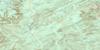
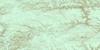
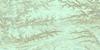
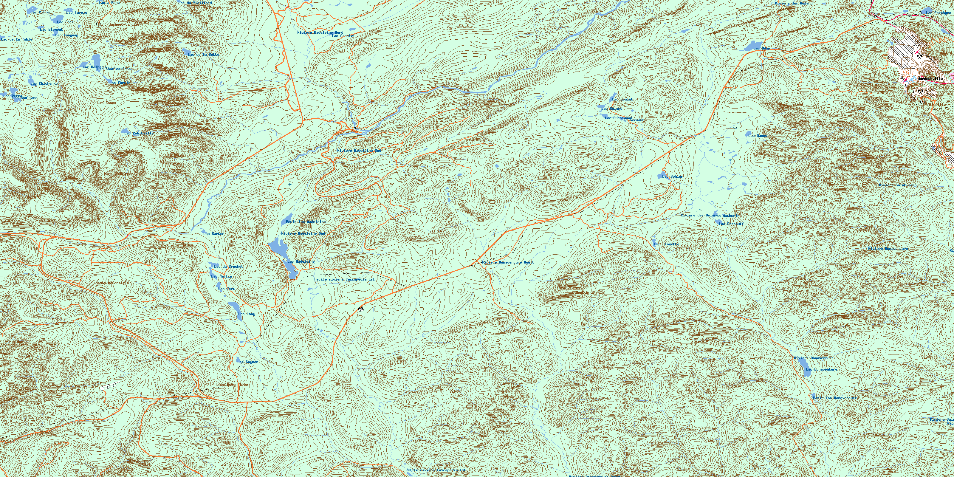
022A13 Lac Madeleine Topo Map
To view this map, mouse over the map preview on the right.
You can also download this topo map for free:
022A13 Lac Madeleine high-resolution topo map image.
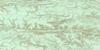
Maps for the Lac Madeleine topo map sheet 022A13 at 1:50,000 scale are also available in these versions:
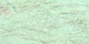
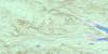
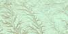
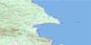
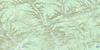
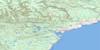
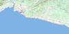
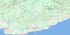
Lac Madeleine Surrounding Area Topo Maps
 |
 |
 |
 |
 |
 |
 |
 |
 |
 |
 |
 |
 |
 |
 |
© Department of Natural Resources Canada. All rights reserved.
Lac Madeleine Gazetteer
The following places can be found on topographic map sheet 022A13 Lac Madeleine:
Lac Madeleine Topo Map: City
MurdochvilleLac Madeleine Topo Map: Geographical areas
BaldwinBoisbuisson
Bonnécamp
Bonnécamps
Des Landes
Deslandes
Deville
Division d'enregistrement de Sainte-Anne-des-Monts
Gastonguay
Holland
La Potardière
La Rivière
Lefrançois
Lemieux
Lesseps
Walbank
Lac Madeleine Topo Map: Lakes
Grand lac MadeleineLac à René
Lac Adam
Lac aux Gammares
Lac Barter
Lac Béland
Lac Bonaventure
Lac Bouliane
Lac Burntwood
Lac Cassivi
Lac Charles-Côté
Lac Chichenko
Lac Clavette
Lac Côté
Lac de la Botte
Lac de la Table
Lac de la Tête
Lac Desnouff
Lac Dolbeau
Lac du Crochet
Lac du Vieillard
Lac Element
Lac Fortin
Lac Gagnon
Lac Gasse
Lac Goulet
Lac Long
Lac Madeleine
Lac Martin
Lac Mathurin
Lac Paré
Lac Perré
Lac Porphyre
Lac Riffou
Lac Robitaille
Lac Samuel-Côté
Lac Servant
Lac Sohier
Lac Tanguay
Lac Turgio
Lac Vert
Lacs du Smelter
Petit lac Bonaventure
Petit lac Madeleine
Lac Madeleine Topo Map: Mountains
L'AiguilleLes Cônes
Mont Béland
Mont Brown
Mont Comte
Mont Copper
Mont Dos de Baleine
Mont du Porphyre
Mont Fernald
Mont Jacques-Cartier
Mont McWhirter
Mont Needle
Monts McGerrigle
Monts Tabletop
Pic des Os Perdus
Pic du Vieillard
Lac Madeleine Topo Map: Other municipal/district area - miscellaneous
Collines-du-BasqueLac Madeleine Topo Map: Conservation areas
Parc de conservation de la GaspésieParc national de la Gaspésie
Réserve faunique des Chic-Chocs
Lac Madeleine Topo Map: Natural resources sites
Mine GaspéLac Madeleine Topo Map: Rivers
Branche Sud de la Rivière YorkPetite rivière Cascapédia Est
Petite rivière Cascapédia Ouest
Rivière Bonaventure
Rivière Bonaventure Ouest
Rivière des Béland
Rivière Madeleine Nord
Rivière Madeleine Sud
Rivière North Branch
Rivière Saint-Jean
Rivière Saint-Jean Branche Sud
Rivière Saint-Jean Ouest
Ruisseau à Alcide
Ruisseau Auclair
Ruisseau aux Grenats
Ruisseau aux Pékans
Ruisseau Barter
Ruisseau Baxter
Ruisseau Burntwood
Ruisseau Copper
Ruisseau Copper
Ruisseau des Orignaux
Ruisseau du Lac Long
Ruisseau du Vieillard
Ruisseau Hardy
Ruisseau Lesseps
Ruisseau McWhirter
Ruisseau Miller
Ruisseau NoName
Ruisseau Pierre-Jean
Ruisseau Porphyre
Lac Madeleine Topo Map: Valleys
Vallée des AstersVallée des Athyriums
Vallée des Calamagrostides
Vallée du Cor
© Department of Natural Resources Canada. All rights reserved.
022A Related Maps:
022A Gaspe022A02 Port-Daniel
022A03 New Carlisle
022A04 New Richmond
022A05 Lac Mckay
022A06 Riviere Reboul
022A07 Chandler
022A08 Cap D'Espoir
022A09 Perce
022A10 Grande Riviere Nord
022A11 Mont Alexandre
022A12 Ruisseau Lesseps
022A13 Lac Madeleine
022A14 Lac York
022A15 Sunny-Bank
022A16 Gaspe
