Mont Alexandre Topo Map Online
Download Free Topo Map Sheet 022A11 at 1:50,000 scale
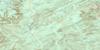
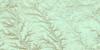
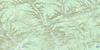
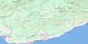
022A11 Mont Alexandre Topo Map
To view this map, mouse over the map preview on the right.
You can also download this topo map for free:
022A11 Mont Alexandre high-resolution topo map image.
Maps for the Mont Alexandre topo map sheet 022A11 at 1:50,000 scale are also available in these versions:
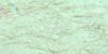
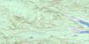
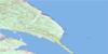
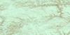
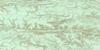
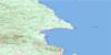
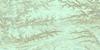
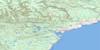
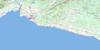
Mont Alexandre Surrounding Area Topo Maps
 |
 |
 |
 |
 |
 |
 |
 |
 |
 |
 |
 |
 |
 |
 |
© Department of Natural Resources Canada. All rights reserved.
Mont Alexandre Gazetteer
The following places can be found on topographic map sheet 022A11 Mont Alexandre:
Mont Alexandre Topo Map: Geographical areas
GastonguayGuéguen
Laforce
Mourier
Pellegrin
Power
Randin
Raudin
Reboul
Sirois
Vondenvelden
Mont Alexandre Topo Map: Lakes
Deuxième LacLac Camille
Lac Céleste
Lac de la Presqu'île
Lac des Castors
Lac du Camp Douze
Lac du Nord
Lac Mourier
Lac Triangle
Lac Turcotte
Lac Vert
Mont Alexandre Topo Map: Mountains
Mont AlexandreMont de l'Observation
Mont Alexandre Topo Map: Major municipal/district area - major agglomerations
BonaventureGaspésie--Îles-de-la-Madeleine
Mont Alexandre Topo Map: Other municipal/district area - miscellaneous
Mont-AlexandreMont Alexandre Topo Map: Conservation areas
Réserve faunique de la Rivière-Saint-JeanZec de la Rivière-Bonaventure
Mont Alexandre Topo Map: Rivers
Big Mountain HollowCoulée Abe-Coffin
Coulée Big Mountain
La Grande Rivière
Le Gros Ruisseau
Petite rivière Pabos
Rivière Bonaventure
Rivière du Grand Pabos
Rivière du Petit Pabos
Rivière North Branch
Rivière Reboul Nord
Rivière Saint-Jean
Rivière Saint-Jean Branche Sud
Rivière Saint-Jean Branche Sud
Rivière Saint-Jean Ouest
Rivière Saint-Jean Sud
Rivière Sauvage
Ruisseau Alain
Ruisseau Albert
Ruisseau Bleu
Ruisseau Bluebell
Ruisseau Cantin
Ruisseau Cotton
Ruisseau du Camp Dix
Ruisseau Grant
Ruisseau Grants
Ruisseau Hunter's Home
Ruisseau Indian
Ruisseau Island
Ruisseau Madeleine
Ruisseau Main Hollow
Ruisseau Mourier
Ruisseau Murray
Ruisseau Murray
Ruisseau Otter
Ruisseau Patterson
Ruisseau Sinnett
Ruisseau Sirois
Ruisseau Tommy
Ruisseau Triangle
Mont Alexandre Topo Map: River features
Les Fourches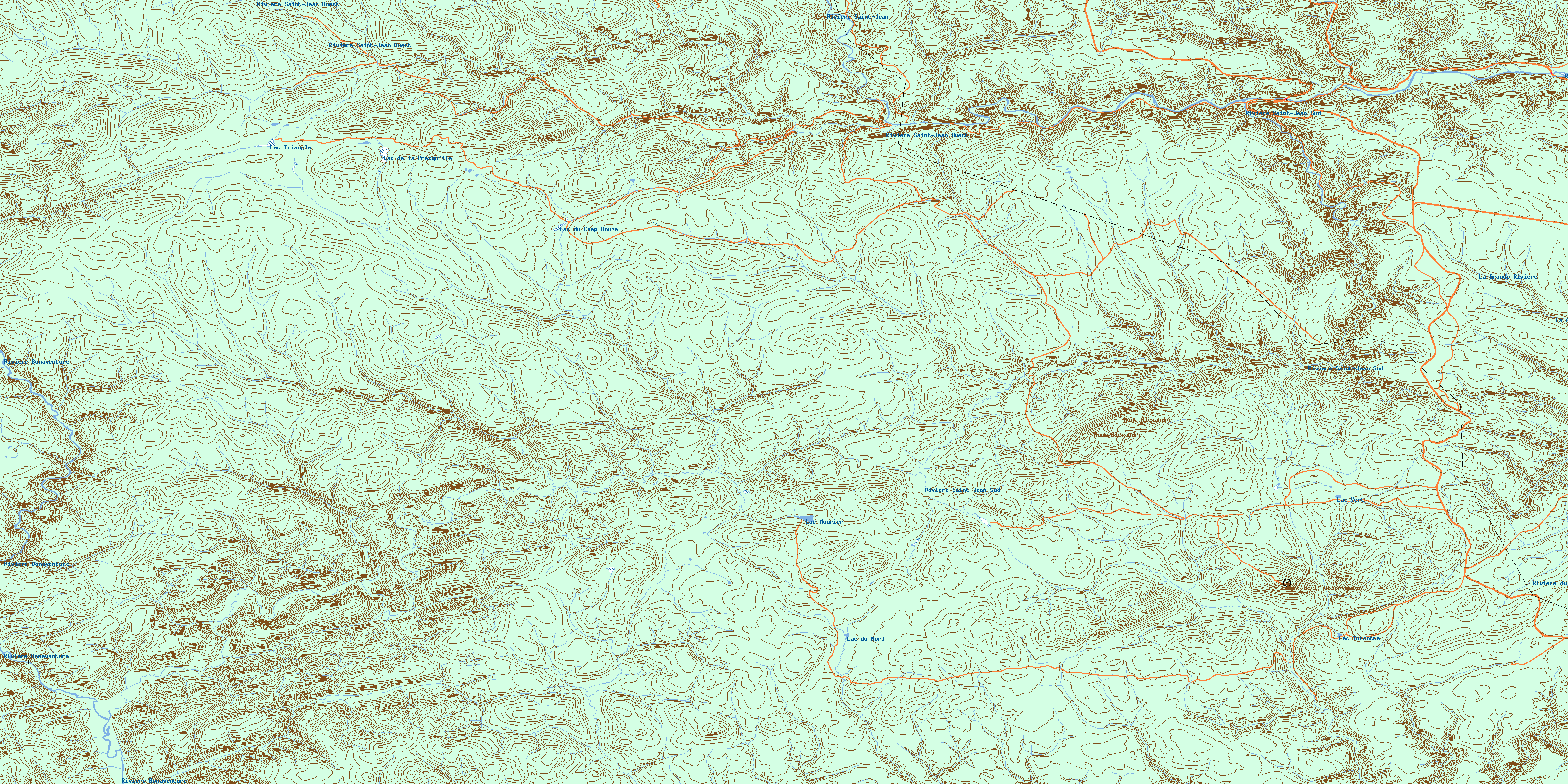
© Department of Natural Resources Canada. All rights reserved.
022A Related Maps:
022A Gaspe022A02 Port-Daniel
022A03 New Carlisle
022A04 New Richmond
022A05 Lac Mckay
022A06 Riviere Reboul
022A07 Chandler
022A08 Cap D'Espoir
022A09 Perce
022A10 Grande Riviere Nord
022A11 Mont Alexandre
022A12 Ruisseau Lesseps
022A13 Lac Madeleine
022A14 Lac York
022A15 Sunny-Bank
022A16 Gaspe
