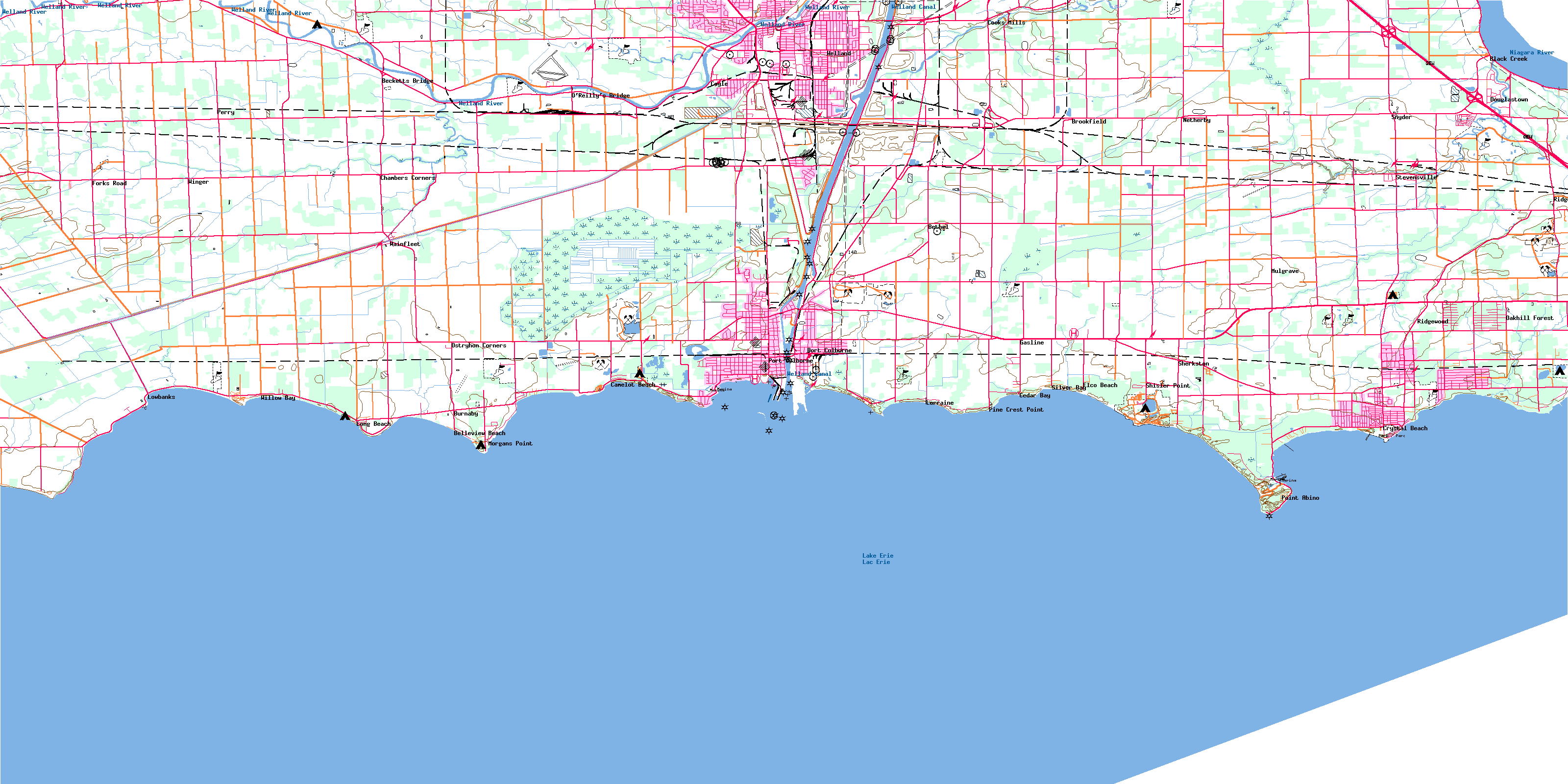
Welland Topo Map Online
Download Free Topo Map Sheet 030L14 at 1:50,000 scale
030L14 Welland Topo Map
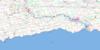
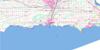
To view this map, mouse over the map preview on the right.
You can also download this topo map for free:
030L14 Welland high-resolution topo map image.
Maps for the Welland topo map sheet 030L14 at 1:50,000 scale are also available in these versions:
Welland Surrounding Area Topo Maps
 |
 |
 |
|
© Department of Natural Resources Canada. All rights reserved.
Welland Gazetteer
The following places can be found on topographic map sheet 030L14 Welland:
Welland Topo Map: Bays
Abino BayCedar Bay
Gravel Bay
Gravelly Bay
Lorraine Bay
Mohawk Bay
Moulton Bay
Reebs Bay
Silver Bay
Sunset Bay
Thunder Bay
Willow Bay
Welland Topo Map: Beaches
Bay BeachEmpire Beach
Nickel Beach
Pleasant Beach
Sherkston Beaches
Welland Topo Map: Capes
Beard PointCassaday Point
Grabell Point
Mohawk Point
Morgans Point
Near Point
Niagara Peninsula
Pine Crest Point
Point Abino
Ramey's Bend
Rathfon Point
Shisler Point
Sugar Loaf Point
West Point
Whitemans Point
Windmill Point
Welland Topo Map: City
HaldimandHaldimand County
Nanticoke
Port Colborne
Welland
Welland Topo Map: Geographical areas
BertieCrowland
Gainsborough
Humberstone
Lincoln
Moulton
Pelham
Sherbrooke
Wainfleet
Welland
Willoughby
Welland Topo Map: Hydraulic construction
East Kelly DrainEllsworth Drain
North Forks Drain
South Forks Drain
West Kelly Drain
Wolfe Creek Drain
Welland Topo Map: Islands
Rock IslandThe Island
Welland Topo Map: Lakes
Biederman PondLac Érié
Lake Erie
Quarry Ponds
The Clay Pits
Welland Topo Map: Marine navigation features
Canal WellandNew Welland Canal
Welland Canal
Welland Ship Canal
Welland Topo Map: Mountains
Abino HillsSugarloaf Hill
The Sugar Loaf
Welland Topo Map: Major municipal/district area - major agglomerations
Haldimand-NorfolkLincoln
Niagara
Welland
Welland Topo Map: Other municipal/district area - miscellaneous
CanboroughCrowland
Dunn
Humberstone
Humberstone
Moulton
North Cayuga
Oneida
Rainham
Seneca
Sherbrooke
South Cayuga
Thorold
Thorold
Wainfleet
Walpole
West Lincoln
Welland Topo Map: Conservation areas
Battle of Cook's Mills National Historic Site of CanadaLieu historique national du Canada de la Bataille-de-Cook's Mills
Lieu historique national du Canada du Champ-de-Bataille-de-Ridgeway
Ridgeway Battlefield National Historic Site of Canada
Wainfleet Bog Conservation Reserve
Welland Topo Map: Provinces
OntarioWelland Topo Map: Rivers
Baker CreekBayers Creek
Beaver Creek
Black Creek
Boyer's Creek
Bridgewater Creek
Chippawa Channel
Forks Creek
Frenchman Creek
Frenchman's Creek
Hoover Creek
Indian Creek
Indian Creek
Little Forks Creek
Lyons Creek
Mill Race Creek
Niagara River
North Forks Creek
Rivière Niagara
Rivière Welland
South Forks Creek
Tea Creek
Tee Creek
Usshers Creek
Welland River
Welland Topo Map: River features
Big Forks CreekWelland Topo Map: Shoals
Cassaday ReefPort Maitland Bank
Welland Topo Map: Towns
DunnvilleHaldimand
Welland Topo Map: Unincorporated areas
Bay BeachBay Beach Park
Becketts Bridge
Belleview Beach
Bethel
Black Creek
Brookfield
Burnaby
Camelot Beach
Cedar Bay
Chambers Corners
Cooks Mills
Coyle
Crowland
Crystal Beach
Dain City
Dainsville
Douglastown
Elco Beach
Feeder
Forks Road
Gasline
Hewitt
Humberstone
Long Beach
Lorraine
Lowbanks
Maple Park
Marshville
Montague
Morgans Point
Mulgrave
Netherby
Oakhill Forest
O'Reilly's Bridge
Ostryhon Corners
Perry
Pine Crest Point
Pleasant Beach
Point Abino
Point Abino
Ridgemount
Ridgeway
Ridgewood
River Bend
Robbins
Sherks
Sherkston
Shisler Point
Silver Bay
Silver Bay Park
Snyder
South Pelham
Stevensville
Thunder Bay
Wainfleet
Wainfleet
Wavecrest
Welland Junction
Welland South
Wildwood
Willow Bay
Windmill Point
Windmill Point
Winger
Welland Topo Map: Low vegetation
Humberstone MarshMcCallum Swamp
Wainfleet Marsh
© Department of Natural Resources Canada. All rights reserved.
