Aylen River Topo Map Online
Download Free Topo Map Sheet 032D13 at 1:50,000 scale
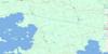
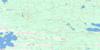
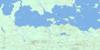
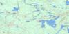
032D13 Aylen River Topo Map
To view this map, mouse over the map preview on the right.
You can also download this topo map for free:
032D13 Aylen River high-resolution topo map image.
Maps for the Aylen River topo map sheet 032D13 at 1:50,000 scale are also available in these versions:
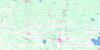
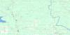
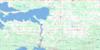
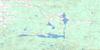
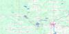
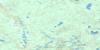
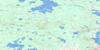
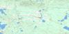
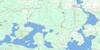
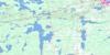
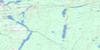
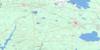
Aylen River Surrounding Area Topo Maps
 |
 |
 |
 |
 |
 |
 |
 |
 |
 |
 |
 |
 |
 |
 |
 |
© Department of Natural Resources Canada. All rights reserved.
Aylen River Gazetteer
The following places can be found on topographic map sheet 032D13 Aylen River:
Aylen River Topo Map: Bays
Baie OkikodoskiDeparture Bay
Mace Bay
Northeast Bay
Okikodosik Bay
West Mace Bay
Aylen River Topo Map: Capes
Aylen PointDeparture Point
Gauthier Point
Long Point
Peats Point
Peat's Point
Aylen River Topo Map: Channels
The NarrowsAylen River Topo Map: Geographical areas
BerryBonis
Hepburn
La Reine
Saint-Philippe
Sargeant
Scapa
Steele
Aylen River Topo Map: Islands
Deer IslandHalfway Islands
Mace Crab Islands
Morin Island
Mosher Island
Shaft Island
Sulphur Island
Aylen River Topo Map: Lakes
Berry LakeBonis Lake
Gooseberry Lake
Lac de Courval
Lake Abitibi
Rabbit Lake
Aylen River Topo Map: Conservation areas
Lake Abitibi Islands Provincial ParkAylen River Topo Map: Rivers
Aylen RiverBalkam Creek
Berry Creek
Boischere Creek
Branche Aumont
Branche Lessard
Cours d'eau Blais
Cours d'eau Délisle
Cours d'eau Dupuis
Cours d'eau Lavallée
Cours d'eau Lehouiller
Cours d'eau Marcil
Cours d'eau Perreault
Departure Creek
Forks Creek
Gooseberry Creek
La Reine River
Little Kaminisinakwa River
Mace Creek
Okikodosik River
Rivière La Reine
Rivière La Reine
Rivière Okikodasik
Ruisseau Saugeen
Sargeant Creek
Saugeen Creek
South Aylen River
Swampy Creek
West Mace Creek
Aylen River Topo Map: Road features
Pont à Ti-ToinePont Lessard
Pont Perreault
Aylen River Topo Map: Unincorporated areas
BalkamEades
Goodwin
La Reine
Mace
Aylen River Topo Map: Villages
La Reine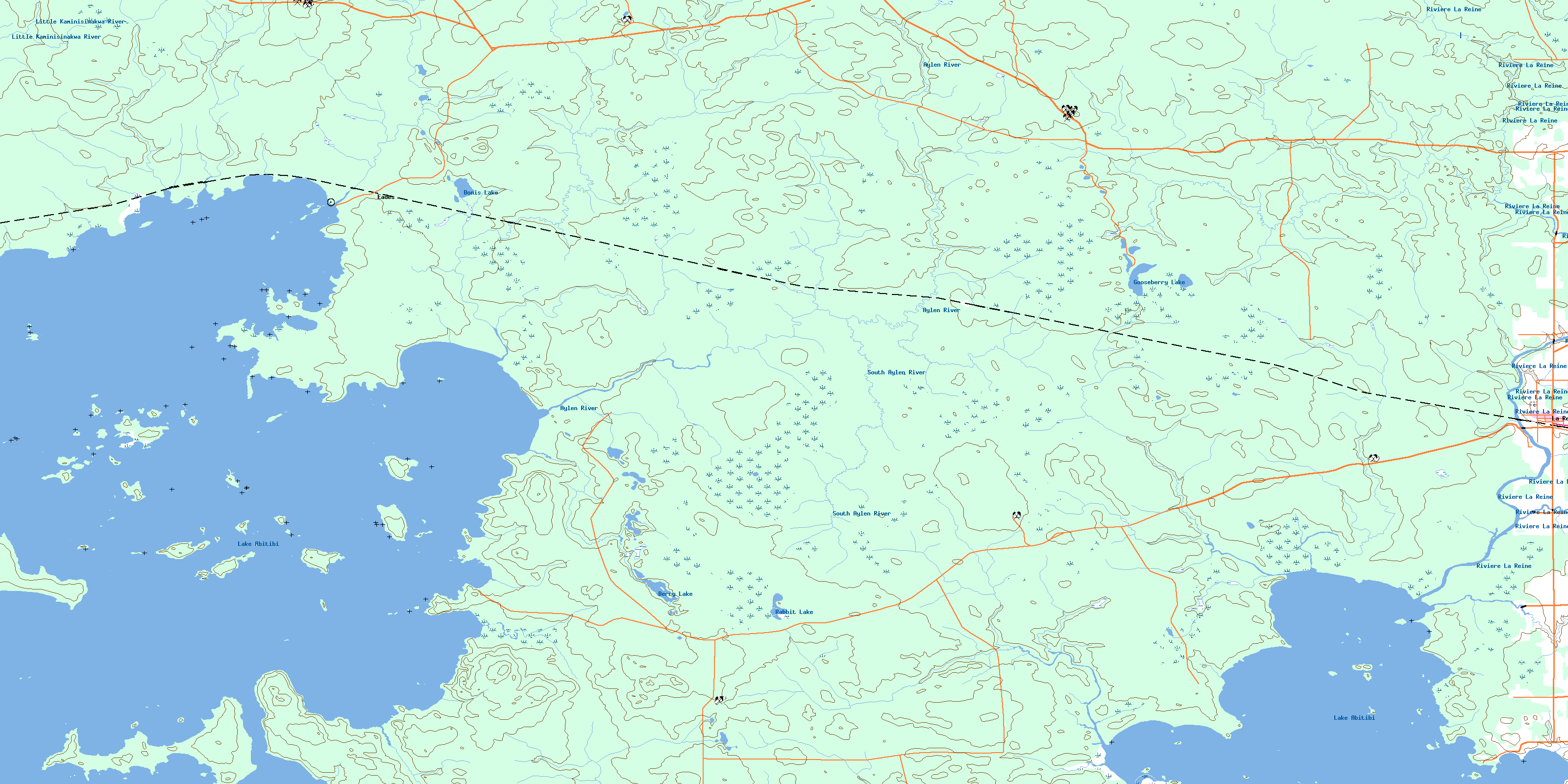
© Department of Natural Resources Canada. All rights reserved.
032D Related Maps:
032D Rouyn-Noranda032D01 Malartic
032D02 Lac Kinojevis
032D03 Rouyn
032D04 Larder Lake
032D05 Magusi River
032D06 Riviere Kanasuta
032D07 Clericy
032D08 La Motte
032D09 Amos
032D10 Taschereau
032D11 Palmarolle
032D12 Lightning River
032D13 Aylen River
032D14 La Sarre
032D15 Riviere Macamic
032D16 Collines Gemini
