Castle Island Topo Map Online
Download Free Topo Map Sheet 033N11 at 1:50,000 scale
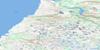
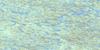
033N11 Castle Island Topo Map
To view this map, mouse over the map preview on the right.
You can also download this topo map for free:
033N11 Castle Island high-resolution topo map image.
Maps for the Castle Island topo map sheet 033N11 at 1:50,000 scale are also available in these versions:
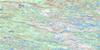
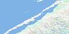
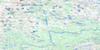
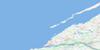
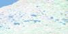
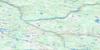
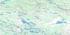
Castle Island Surrounding Area Topo Maps
 |
 |
 |
|
 |
 |
 |
|
 |
 |
 |
 |
 |
 |
 |
 |
© Department of Natural Resources Canada. All rights reserved.
Castle Island Gazetteer
The following places can be found on topographic map sheet 033N11 Castle Island:
Castle Island Topo Map: Bays
Baie KangirsuapikHudson Bay
Castle Island Topo Map: Capes
Langue de terre ChikaskawPointe Purngavik
Pointe Siukkaaluk
Pointe Siukkakallak
Pointes Upirngivik
Castle Island Topo Map: Channels
Boat OpeningManitounuk Sound
Passage de Manitounuk
Passe Umiat
Schooner Opening
Castle Island Topo Map: Islands
Castle IslandDuck Island
Île Qikirtakallaapik
Manitounuk Islands
Merry Island
Castle Island Topo Map: Lakes
Lac AjagutaqLac Illuvasittalik
Lac Tasiarualuttalik
Lac Tasikallak
Lacs Tasiaruit
Castle Island Topo Map: Rivers
Kingittualuup KuungaRivière Anaskutach
Rivière Domanchin
Rivière Kaychisakach Kaysinakuch
Rivière Kuugaapik
Rivière Kuugajaq
Rivière Kuugajaq Iqalussiuvik
Rivière Mitirtuup Kuunga
Rivière Piquard
Rivière Qairtulittalik Kuungajaaq
Ruisseau Iqalussiviup
Ruisseau Kingittualuarusiup
Castle Island Topo Map: Road features
Piste NirlugiaraalukCastle Island Topo Map: Unincorporated areas
Irqatarvik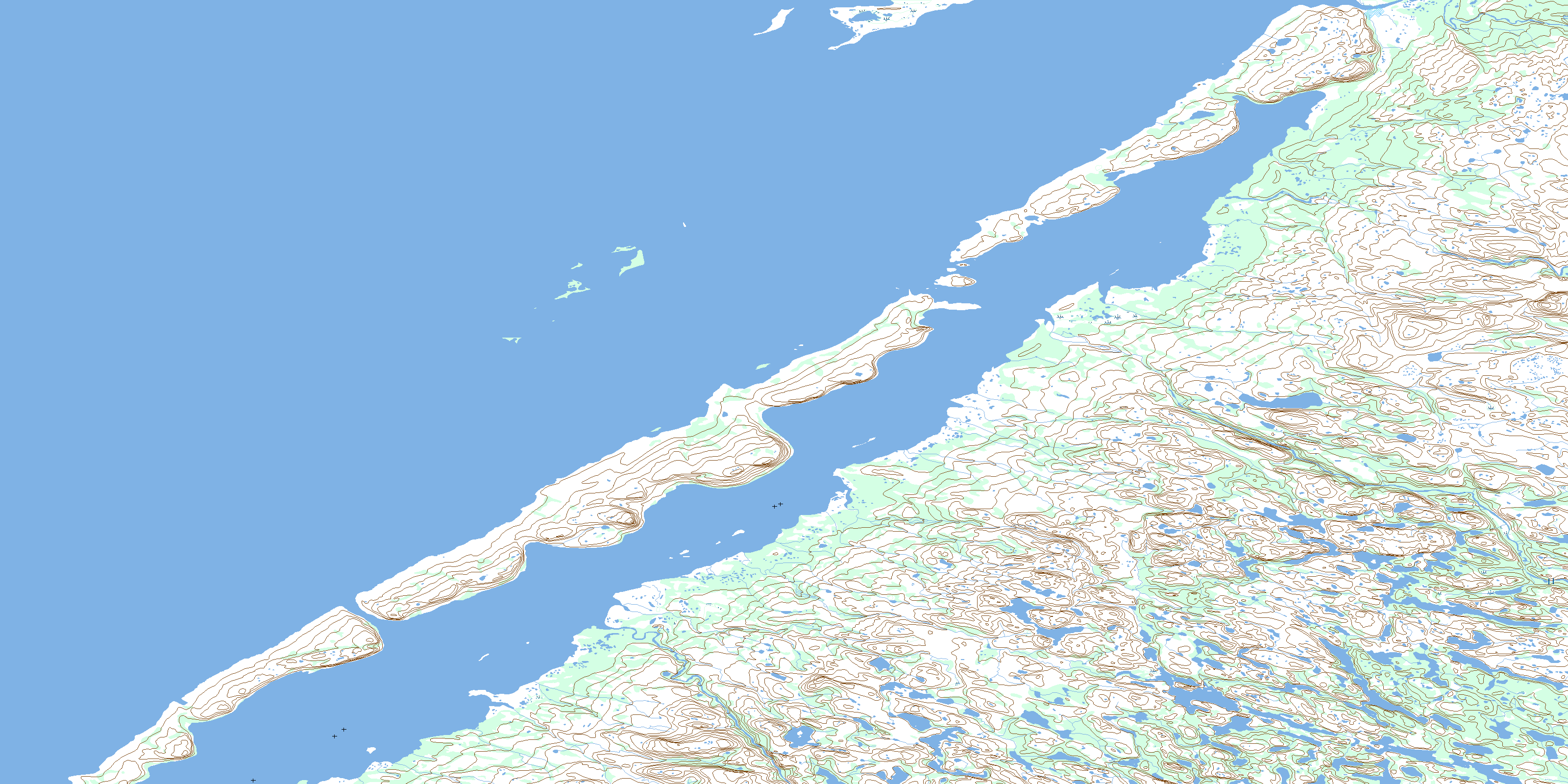
© Department of Natural Resources Canada. All rights reserved.
033N Related Maps:
033N Poste-De-La-Baleine033N01 Lac Mugnol
033N02E Lac Fagnant
033N02W Lac Fagnant
033N03E Lacs Adam
033N03W Lacs Adam
033N04E Lac Benoit
033N04W Lac Benoit
033N05 Kuujjuarapik
033N06E Lac Le Bel
033N06W Lac Le Bel
033N07E Lac Thibault
033N07W Lac Thibault
033N08 Lac Perotin
033N09 Lac De Gannes
033N10E Lac Robitaille
033N10W Lac Robitaille
033N11E Castle Island
033N11W Castle Island
033N14E Duck Island
033N15E Lac Desjardins
033N15W Lac Desjardins
033N16 Lac Tregnier
