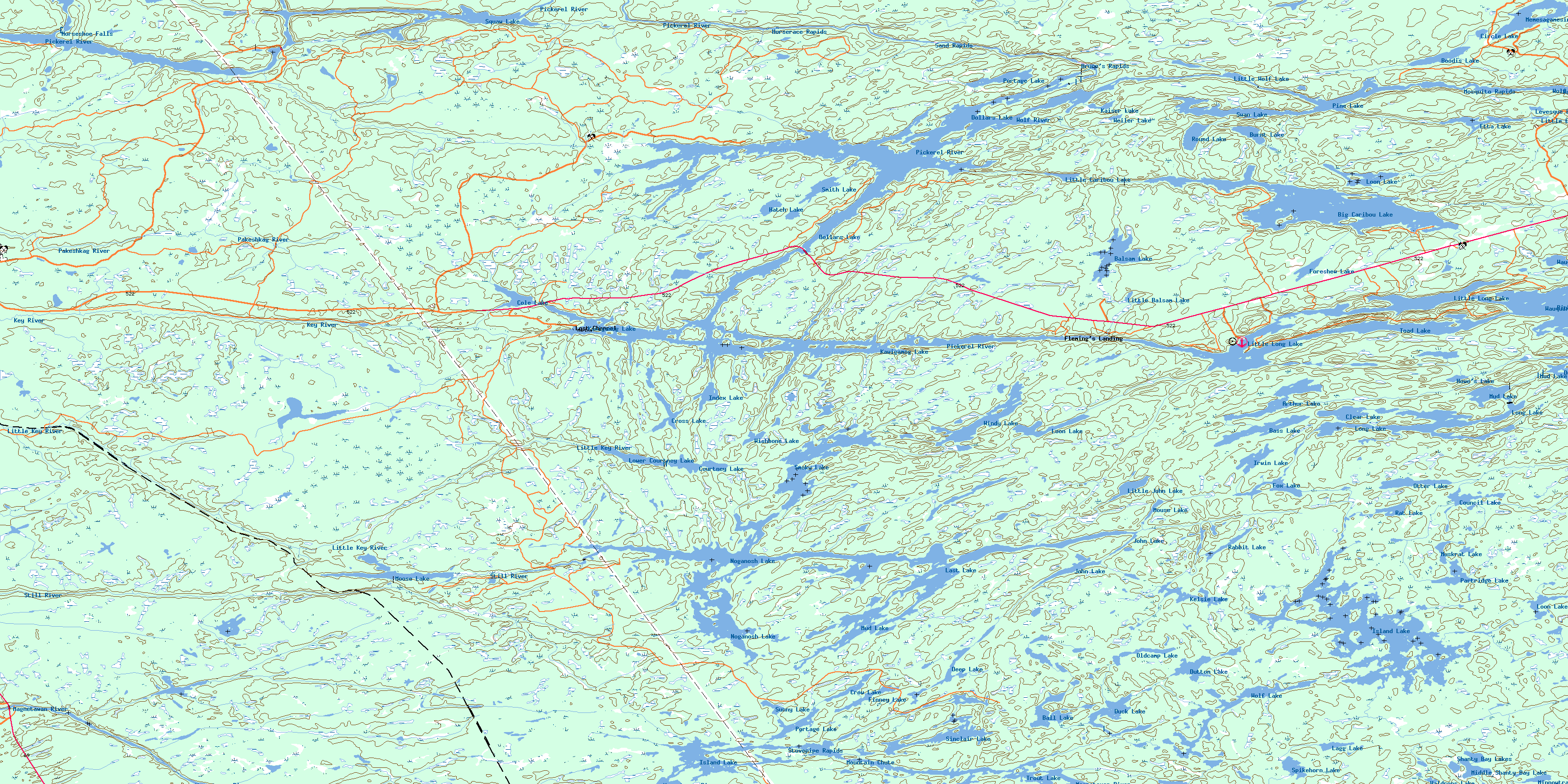
Noganosh Lake Topo Map Online
Download Free Topo Map Sheet 041H16 at 1:50,000 scale
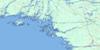
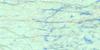
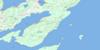
041H16 Noganosh Lake Topo Map
To view this map, mouse over the map preview on the right.
You can also download this topo map for free:
041H16 Noganosh Lake high-resolution topo map image.
Maps for the Noganosh Lake topo map sheet 041H16 at 1:50,000 scale are also available in these versions:
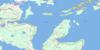
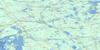
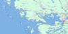
Noganosh Lake Surrounding Area Topo Maps
 |
 |
 |
 |
 |
 |
 |
|
 |
 |
||
 |
 |
 |
© Department of Natural Resources Canada. All rights reserved.
Noganosh Lake Gazetteer
The following places can be found on topographic map sheet 041H16 Noganosh Lake:
Noganosh Lake Topo Map: Bays
Buchus BayClear Bay
Deep Bay
Deep Bay
Hole in the Wall
Long Bay
Noggart's Bay
Pigeon Bay
Ponford's Bay
Sandy Bay
Shanty Bay
Smith Bay
Stumpy Bay
Noganosh Lake Topo Map: Capes
Mortons PointThe Elbow
Noganosh Lake Topo Map: Channels
Deadmans NarrowsEss Narrows
Lost Channel
Main Channel
S Narrows
The Outlet
Noganosh Lake Topo Map: Falls
Horseshoe FallsMountain Chute
Noganosh Lake Topo Map: Geographical areas
BlairBrown
Burton
Hardy
McConkey
McKenzie
Mowat
Parry Sound
Wallbridge
Wilson
Noganosh Lake Topo Map: Indian Reserves
French River Indian Reserve 13Magnetawan Indian Reserve 1
Réserve indienne French River 13
Réserve indienne Magnetawan 1
Noganosh Lake Topo Map: Islands
Burnt IslandBurnt Island
Cantin Island
Caribou Island
Carve Island
Cincinnati Island
Comfort Island
Deadmans Island
Effrick Island
High Rock Island
Little Lookout Island
Long Island
Lookout Island
Miramichi Island
Sandy Hook
Tuffy's Island
Upsilanti Island
Wade's Island
Noganosh Lake Topo Map: Lakes
Arthur LakeBall Lake
Balsam Lake
Bass Lake
Big Caribou Lake
Boodis Lake
Burnt Lake
Caribou Lake
Circle Lake
Clear Lake
Cole Lake
Cookery Lake
Council Lake
Courtney Lake
Cross Lake
Crow Lake
Deep Lake
Dollars Lake
Duck Lake
Duck Lake
Dutton Lake
Etta Lake
Finney Lake
Foreshew Lake
Fox Lake
Hatch Lake
Howe's Lake
Index Lake
Irwin Lake
Island Lake
Island Lake
John Lake
Kaiser Lake
Kawigamog Lake
Kawigamog Lake
Kelsie Lake
Lagg Lake
Last Lake
Levesque Lake
Little Balsam Lake
Little Caribou Lake
Little Etta Lake
Little John Lake
Little Long Lake
Little Wolf Lake
Long Lake
Loon Lake
Loon Lake
Loon Lake
Lost Lake
Lower Courtney Lake
Memesagamesing Lake
Middle Shanty Bay Lake
Minnowtrap Lake
Moose Lake
Mouse Lake
Mud Lake
Mud Lake
Muskrat Lake
Noganosh Lake
Oldcamp Lake
Otter Lake
Partridge Lake
Pine Lake
Portage Lake
Portage Lake
Rabbit Lake
Rat Lake
Round Lake
Shanty Bay Lakes
Sinclair Lake
Smith Lake
Smoky Lake
Spikehorn Lake
Squaw Lake
Sunny Lake
Swan Lake
The Top Lake
Toad Lake
Trout Lake
Waldrons Lake
Wauquimakog Lake
Weiler Lake
Windy Lake
Wishbone Lake
Wolf Lake
Wolf Lake
Wolf Lake
Noganosh Lake Topo Map: Marine navigation features
Kidd's LandingNoganosh Lake Topo Map: Other municipal/district area - miscellaneous
HagermanMagnetawan
Whitestone
Noganosh Lake Topo Map: Conservation areas
Blair Township Nature Reserve Wilderness AreaFrench River Provincial Park
Grundy Lake Provincial Park
Island Lake Forest and Barrens Conservation Reserve
Magnetawan River Provincial Park
Mowat Township Hemlock Forest Conservation Reserve
Noganosh Lake Provincial Park
Northern McConkey Conservation Reserve
Pakeshkag River Forest Conservation Reserve
Swan Lake Conservation Reserve
Noganosh Lake Topo Map: Rapids
Bruce's RapidsHorserace Rapids
Mosquito Rapids
Mud Lake Rapids
Sand Rapids
Stovepipe Rapids
The Big Eddy
Noganosh Lake Topo Map: Rivers
Back SnyeBlaney Creek
Caribou Creek
Caribou River
Courtney Creek
Cramadog Creek
Dog Creek
Farm Creek
Fivemile River
Key River
Little Key River
Loon Lake Creek
Magnetawan River
Mud Creek
Pakeshkag River
Pickerel River
Smoky Creek
Still River
Sturdies Creek
Windy Creek
Wolf River
Noganosh Lake Topo Map: River features
Dead HoleNoganosh Lake Topo Map: Shoals
Moby DickNoganosh Lake Topo Map: Unincorporated areas
DrocourtFleming's Landing
Lost Channel
Mowat
Still River
The Depot
© Department of Natural Resources Canada. All rights reserved.
