Flowerpot Island Topo Map Online
Download Free Topo Map Sheet 041H05 at 1:50,000 scale
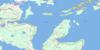
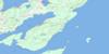
041H05 Flowerpot Island Topo Map
To view this map, mouse over the map preview on the right.
You can also download this topo map for free:
041H05 Flowerpot Island high-resolution topo map image.
Maps for the Flowerpot Island topo map sheet 041H05 at 1:50,000 scale are also available in these versions:
Flowerpot Island Surrounding Area Topo Maps
 |
 |
 |
 |
 |
 |
 |
|
 |
 |
||
 |
 |
 |
© Department of Natural Resources Canada. All rights reserved.
Flowerpot Island Gazetteer
The following places can be found on topographic map sheet 041H05 Flowerpot Island:
Flowerpot Island Topo Map: Bays
Baie GeorgienneBeachy Cove
Big Tub Harbour
Boat Harbour
China Cove
Cove Island Harbour
Dunks Bay
Eagle Cove
Georgian Bay
Laronde's Harbour
Little Cove
Little Dunks Bay
Little Tub
Little Tub Harbour
Shoal Bight
Southwest Arm
Tecumseh Cove
Tobermory Harbour
Wild Bight
Flowerpot Island Topo Map: Capes
Bruce PeninsulaChannel Point
Dunks Point
Eagle Point
Gat Point
Gig Point
Indian Harbour Point
Lighthouse Point
McCarthy Point
Middle Point
North Point
Northeast Point
Pavement Point
Phoebe Point
The Castle
The Knob
Wreck Point
Yeo Spit
Flowerpot Island Topo Map: Channels
Boat PassageCape Hurd Channel
Devil Island Channel
Fitzwilliam Channel
Lucas Channel
Macgregor Channel
Main Channel
North Channel
The Gut
Yeo Channel
Flowerpot Island Topo Map: Geographical areas
BruceManitoulin
Flowerpot Island Topo Map: Islands
Bears Rump IslandCove Island
Devil Island
Doctor Island
Echo Island
Fitzwilliam Island
Flowerpot Island
Halfmoon Island
Harbour Island
James Island
Lucas Island
Middle Island
North Otter Island
Perseverance Island
Peters Island
Russel Island
Snake Island
South Otter Island
Turning Island
Williscroft Island
Yeo Island
Flowerpot Island Topo Map: Lakes
Lac HuronLake Huron
Flowerpot Island Topo Map: Mountains
Black SummitFlowerpot Island Topo Map: Major municipal/district area - major agglomerations
BruceFlowerpot Island Topo Map: Other municipal/district area - miscellaneous
EastnorHowland
Lindsay
Northern Bruce Peninsula
St. Edmunds
Flowerpot Island Topo Map: Conservation areas
Bruce Peninsula National Park of CanadaCyprus Lake Provincial Park
Fathom Five National Marine Park of Canada
Fathom Five Provincial Park
Parc marin national du Canada Fathom Five
Parc national du Canada de la Péninsule-Bruce
Flowerpot Island Topo Map: Shoals
Anderson LedgeBad Neighbour
Bad Neighbour Rock
Bears Rump Shoal
Brown Ledge
Confiance Rock
Cove Island Ground
East Sister
East Sister Patch
Emily Maxwell Reef
Fagan Ground
Flowerpots
Flummerfelt Patch
Gat Point Reef
Gourdeau Patch
Great Barrier
Greenfield Shoal
Indian Harbour Reef
James Reef
Kilroy Patch
Little Rock
Lucas Reef
Manitoba Ledge
McCarthy Point Ledge
McElhinney Ground
McLelan Rock
Middle Bank
Moorhouse Patch
Northwest Bank
O'Brien Patch
Rixon Rock
Russel Reef
Smith Rock
Snake Island Bank
Southwest Bank
Tilton Reef
West Sister
West Sister Patch
White Rock
White Shingle
Flowerpot Island Topo Map: Towns
Northeastern Manitoulin and the IslandsFlowerpot Island Topo Map: Unincorporated areas
Tobermory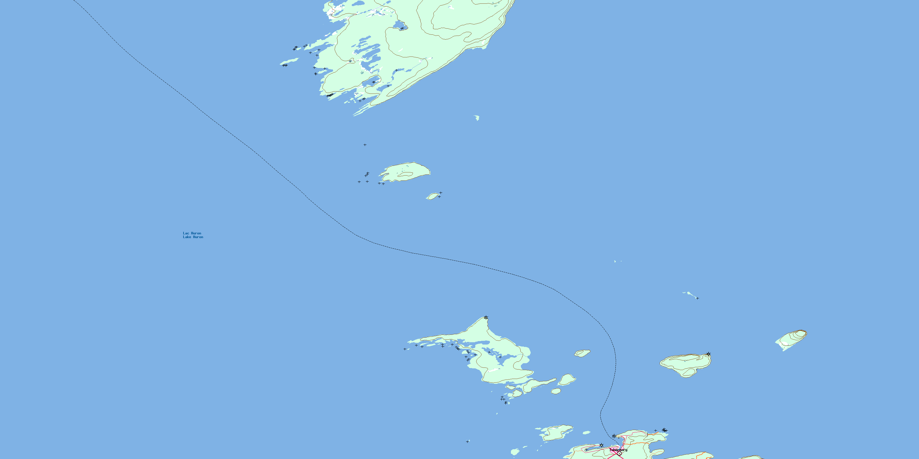
© Department of Natural Resources Canada. All rights reserved.
