Naiscoot River Topo Map Online
Download Free Topo Map Sheet 041H10 at 1:50,000 scale
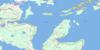
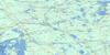
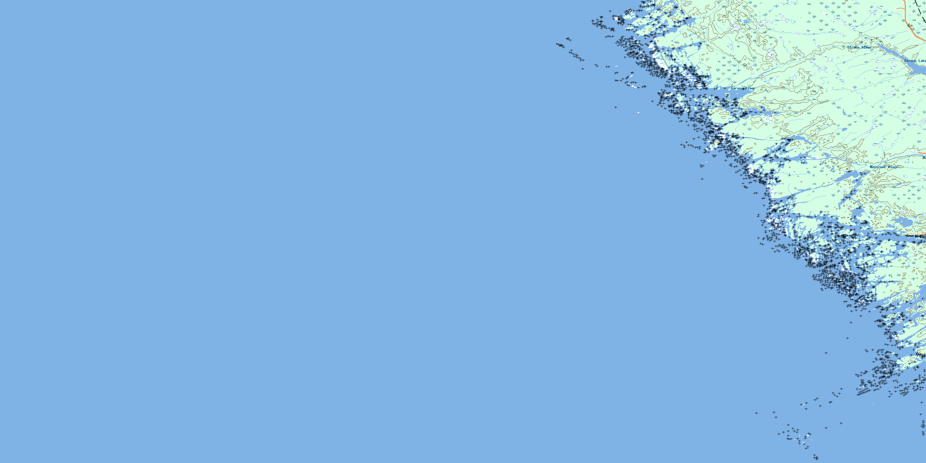
041H10 Naiscoot River Topo Map
To view this map, mouse over the map preview on the right.
You can also download this topo map for free:
041H10 Naiscoot River high-resolution topo map image.
Maps for the Naiscoot River topo map sheet 041H10 at 1:50,000 scale are also available in these versions:
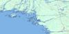
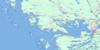
Naiscoot River Surrounding Area Topo Maps
 |
 |
 |
 |
 |
 |
 |
|
 |
 |
||
 |
 |
 |
© Department of Natural Resources Canada. All rights reserved.
Naiscoot River Gazetteer
The following places can be found on topographic map sheet 041H10 Naiscoot River:
Naiscoot River Topo Map: Bays
Alexander InletBaie Georgienne
Bayfield Harbour
Bayfield Inlet
Bayfield Inlet
Burritts Bay
Charles Inlet
Georgian Bay
Kenerick Bay
Laura Bay
LeBlanc Bay
Nares Inlet
Nares Inlet
Norgate Inlet
Pointe au Baril Harbour
Prisque Bay
Naiscoot River Topo Map: Capes
Gibraltar PointHangdog Point
Long Point
Lookout Point
MacKenzie Point
McReynolds Point
Nares Point
Oldham Point
Ragged Point
Thelma Point
Naiscoot River Topo Map: Channels
Alexander PassageChicken Liver Channel
Whitefish Channel
Naiscoot River Topo Map: Geographical areas
HarrisonParry Sound
Wallbridge
Naiscoot River Topo Map: Indian Reserves
Magnetawan Indian Reserve 1Naiscoutaing Indian Reserve 17A
Réserve indienne Magnetawan 1
Réserve indienne Naiscoutaing 17A
Naiscoot River Topo Map: Islands
Bayfield IslandBedwell Island
Bellebay Island
Big Burnt Island
Black Bill Islands
Black Island
Bon Ami Island
Bourchier Islands
Brooker Islands
Burritts Island
Bushy Island
Choctaw Island
Clontarf Island
Cow Island
Cratloe Island
Danny Island
Day Island
Dorothy Island
Duffy Island
Duquesne Island
Elm Tree Island
Fishery Island
Foster Island
Francis Island
Fredericksruhe Island
Gereaux Island
Gerry Island
Gibraltar Island
Gooch Island
Hangdog Island
Harbottle Island
Harbour Islands
Head Island
Inside Head Island
Irving Island
Isabel Island
Isle of Pines
Jarrad Island
Jean Island
Keneu Island
Lampey Island
Landing Island
Leith Island
Leland Island
Lisnacloon Island
Lookout Island
Marjorie Island
Meneilly Island
Minwabin Island
O'Brien Islands
Olga Island
Olwyn Island
Raft Island
Redleg Island
Risley Island
Rock Island
Tug Island
Umwah Island
Wasson Island
Woodlands Island
Naiscoot River Topo Map: Lakes
Big LakeGiroux Lake
Lac Huron
Lake Huron
Naiscoot River Topo Map: Other municipal/district area - miscellaneous
The ArchipelagoNaiscoot River Topo Map: Rivers
Giroux RiverHangdog Channel
Mud Channel
Naiscoot River
Naiscoot River Middle Channel
Naiscoot River North Channel
Naiscoot River South Channel
Naiscoot River Topo Map: Shoals
Alberta RockArmstrong Rocks
Athabasca Rock
Augusta Rock
Baker Rocks
Black Rock
Burton Bank
Challenger Rock
Coghlan Reef
Corner Rock
Dart Rock
Doran Rock
Eagle Reef
Garnet Rock
Garnet Rocks
Hangdog Bank
Hangdog Reef
Harbour Reef
Haslewood Bank
Heart Bank
Imperial Bank
Kennedy Bank
Laird Rock
Laird Rocks
Lindsay Rock
Magnetawan Ledges
Magpie Rocks
McHugh Rock
McKenney Reef
Meaford Shoal
Mercier Rock
Morden Rock
Nares Ledge
Norgate Rock
Norgate Rocks
North Reef
Old Tower Rocks
Oliver Rock
Red Rock
Sarah Rock
Snap Rock
Sophia Rock
South Reef
Southeast Rock
Sylvia Rock
The Brothers
The Sisters
Tizard Rock
Triton Rock
Vail Rock
Wolsley Rock
Naiscoot River Topo Map: Unincorporated areas
BayfieldBayfield Inlet
Georgian Inlet
Pointe au Baril
© Department of Natural Resources Canada. All rights reserved.
